Synthesized from RIDB · Open-Meteo OSM · OSRM Updated 2026-05-27
At 2,687 ft, Live Oak South has a 10-month comfortable window (Jan-Dec). Winter nights average around 40°F, so the shoulder seasons turn cold fast. 90 sites total: 29 reservable and 61 first-come, first-served. Within about 4 miles: 4 peaks, lake or river access.
What campers say
SYNTHESIZED · MODERATE SIGNAL
Weather
01 / 05
Summers run 90s to 100s; oak canopy helps but does not fix the heat.
Multiple sources flag Lake Isabella summers as routinely hot, with the oaks giving partial shade rather than real relief. Afternoon winds are common and campers note they take the edge off but demand sturdy stakes.
Access
02 / 05
Lake is across Highway 155, not lakefront, so every swim means crossing the road.
The campground sits opposite Lake Isabella on Hwy 155, about 6 miles from the town of Lake Isabella. Expect a short walk and a highway crossing for water access rather than stepping out of your tent onto the shore.
Sites
03 / 05
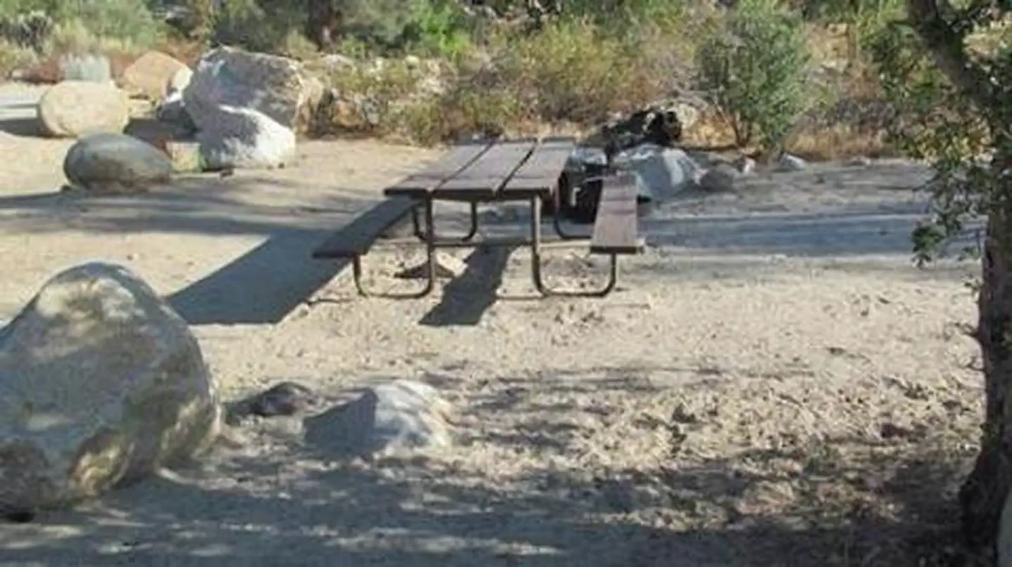
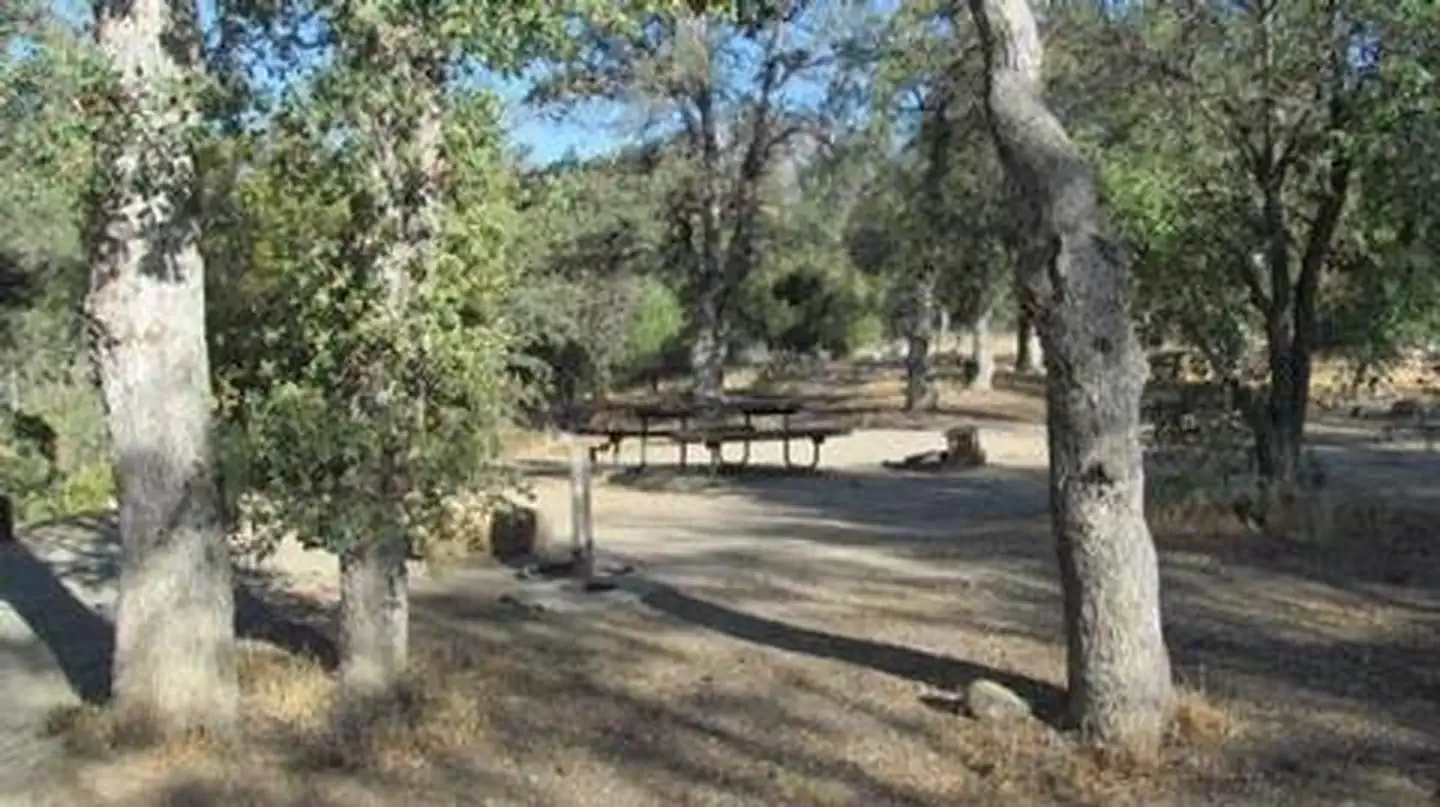
Tent-only with paved pads, decent spacing, and a seasonal creek through the loops.
Ninety sites are spread under large oaks with paved parking pads, table, and fire ring; the one detailed recent review calls spacing good enough for privacy. A seasonal creek runs through the campground, which is a plus in spring and dry by late summer.
Booking
04 / 05
Summer weekends and holidays book out months ahead at the 6-month window.
Reservations open six months out and high-demand weekends between Memorial Day and Labor Day go fast. Midweek and shoulder-season dates are noticeably easier to land.
Water
05 / 05
Lake Isabella drops hard in dry years and weekends bring loud motorboat traffic.
The reservoir is heavily used for jet skis, ski boats, and windsurfing, so weekend lake noise carries across the road; midweek is quieter. Drought years pull the shoreline well back from its high-water line, lengthening the walk to swim and exposing flats that were underwater the year before.
Synthesized from public trip reports and forum discussion, summarized in our words and never quoted. This is durable sentiment, not a live feed.
The campground at a glance
01 · CHARACTER
Reads strongest on reservability and cool nights. Softest on shade.
Six axes, each scored relative to every other federal campground in the region: quiet (miles to a major road), cool (elevation), roomy (average site spacing), shade, RV-fit (longest rig), and how reservable it is. All six come from data, nothing hand-tuned.
When to go
02 · CLIMATE
avg highavg lowfrost-freedriest · Jul
Jan-Dec
Comfortable window: nights stay above 35°F, days below 90°F.
99%
Of summer weekend-days are dry.
Mar 4
Last spring frost; first fall frost Nov 25.
71°F
Average July low. Bring a fleece.
Getting there
03 · ACCESS
01
Fresno
134 mi
2h59
02
Los Angeles
149 mi
3h19
03
San Diego
285 mi
6h20
04
Sacramento
338 mi
7h31
05
San Francisco
340 mi
7h33
By drive time
Routed road time (OSRM). Nearest major highway 0.1 mi away.
We synthesize public data layers: RIDB and Recreation.gov facility and site records, Open-Meteo climate normals, OpenStreetMap roads, trails, and water, OSRM drive times, and USGS elevation. We take no bookings, no ads, and no paid placements. Independence is the entire point.