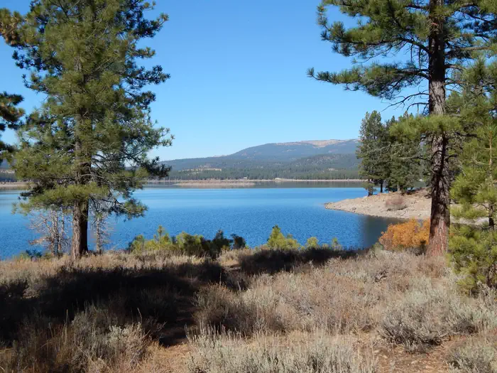
Overview Logger Campground sits on beautiful Stampede Reservoir on the Tahoe National Forest, 30 minutes from Truckee, Calif.
Sites205197 reservable
Elev.6,063ft
Comf.Jun-Oct5 months
Max rig50 ft2 pull-thru
Electricnonesites
From Sacramento2h45real road time
The honest read
Synthesized from RIDB · Open-Meteo OSM · OSRM Updated 2026-05-27
At 6,063 ft, Logger Campground has a 5-month comfortable window (Jun-Oct). Winter nights average around 22°F, so the shoulder seasons turn cold fast. 205 sites total: 197 reservable and 8 first-come, first-served. Of the sites, 2 pull-through, and the longest takes a 50-ft rig.
What campers say
SYNTHESIZED · MODERATE SIGNAL
Sites
01 / 06
Six named loops; Iron Ox and Steam Donkey draw the most repeat visits.
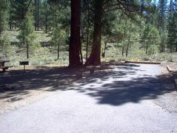
Across multiple reports, returners single out the Iron Ox and Steam Donkey loops as the best-kept and most spacious, with sites 84, 103, 120, 139 and 141 named repeatedly. Spacing is uneven elsewhere, and a few sites need substantial leveling blocks for trailers.
Water
02 / 06
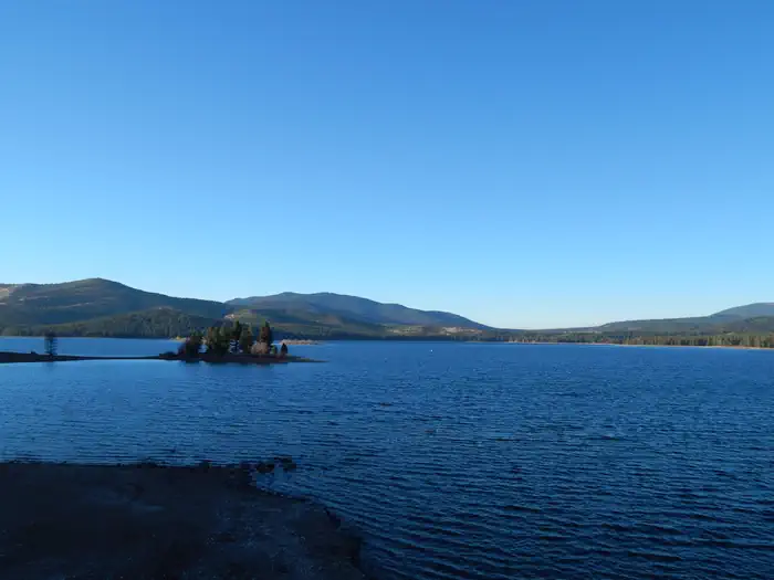
Reservoir drawdown is the most consistent complaint, especially late summer.
Multiple campers describe a long walk down steep banks to reach the waterline by mid to late season, and a boat ramp that gets marginal at low pool. Boats and paddleboards still launch, but lakeside sites can end up well above the water.
Vibe
03 / 06
Quiet midweek and in fall, RV-heavy and loud on summer holiday weekends.
Reports converge on a sharp split: weekdays and shoulder season feel peaceful with hosts who actually maintain the place, while holiday weekends bring large groups, late-night noise past the posted 10 pm quiet hours, and limited enforcement.
Wildlife & sky
04 / 06
Active black bear area with no food lockers, plus bold deer through camp.
USFS posts current bear activity and there are no bear boxes, so food must stay in vehicles. Deer wander sites looking for scraps and are a constant presence at dusk and after dark.
Facilities
05 / 06
Vault toilets clean but smelly; water spigots present but outages possible.
Hosts get credit for keeping the vaults picked up, though the smell is what you would expect. Recreation.gov currently flags a high probability of water outages and advises bringing your own, and the dump station has had reduced availability.
Access
06 / 06
Paved roads inside camp, but cell coverage is patchy and carrier-dependent.
Interior roads are paved and handle big rigs, with the boat ramp under a mile away. Verizon tends to get a usable signal while AT&T and T-Mobile users report little to nothing, so plan for offline.
Synthesized from public trip reports and forum discussion, summarized in our words and never quoted. This is durable sentiment, not a live feed.
The campground at a glance
01 · CHARACTER
Reads strongest on shade and reservability. Softest on roomy sites.
Six axes, each scored relative to every other federal campground in the region: quiet (miles to a major road), cool (elevation), roomy (average site spacing), shade, RV-fit (longest rig), and how reservable it is. All six come from data, nothing hand-tuned.
When to go
02 · CLIMATE
avg highavg lowfrost-freedriest · Jul
Jun-Oct
Comfortable window: nights stay above 35°F, days below 90°F.
92%
Of summer weekend-days are dry.
Jun 10
Last spring frost; first fall frost Oct 11.
49°F
Average July low. Bring a fleece.
Getting there
03 · ACCESS
01
Sacramento
124 mi
2h45
02
San Francisco
221 mi
4h55
03
Fresno
246 mi
5h28
04
Los Angeles
505 mi
11h13
05
San Diego
643 mi
14h17
By drive time
Routed road time (OSRM). Nearest major highway 4.9 mi away.
We synthesize public data layers: RIDB and Recreation.gov facility and site records, Open-Meteo climate normals, OpenStreetMap roads, trails, and water, OSRM drive times, and USGS elevation. We take no bookings, no ads, and no paid placements. Independence is the entire point.