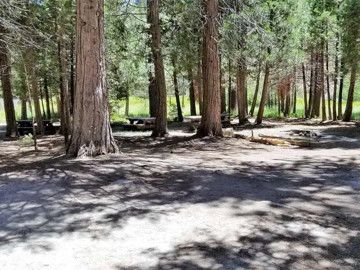
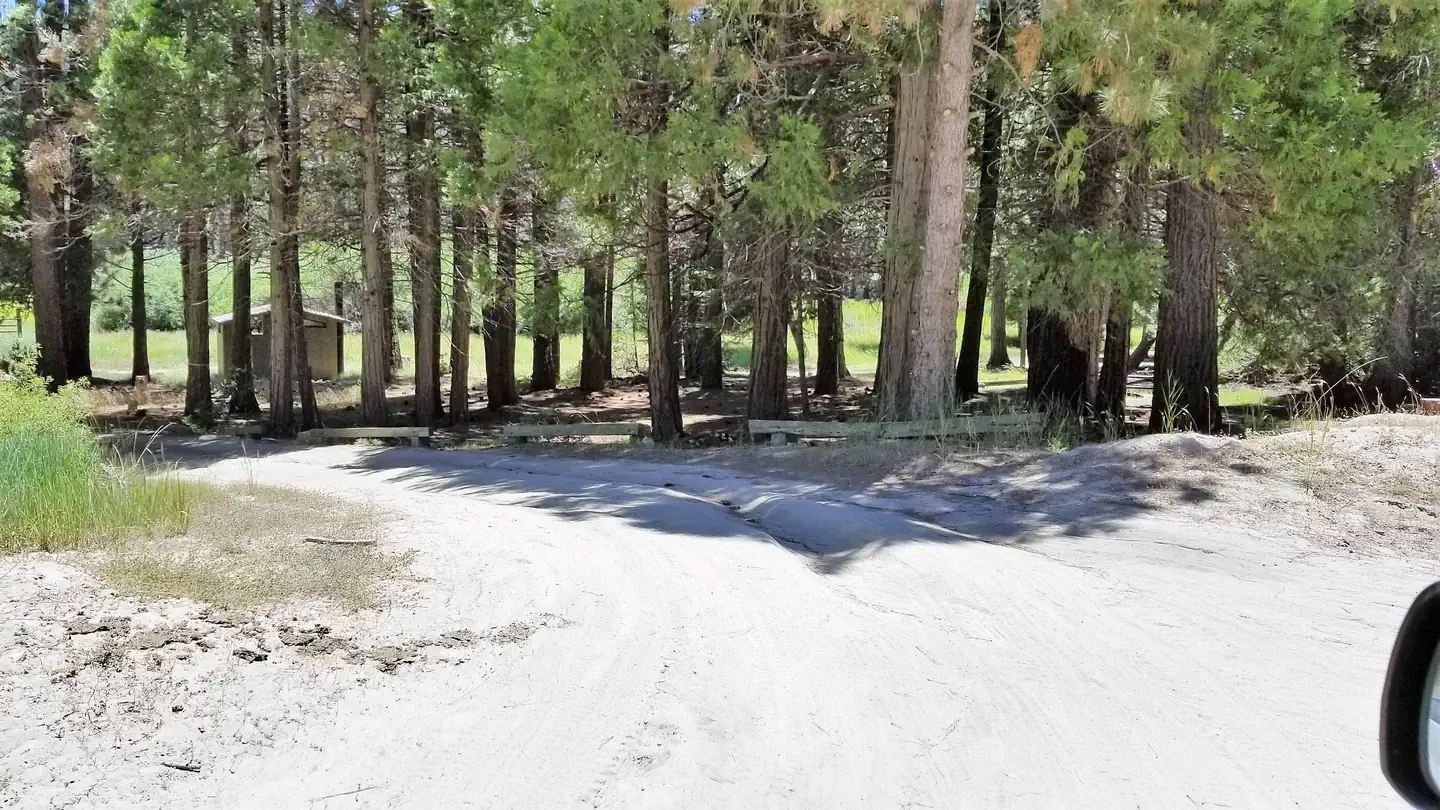
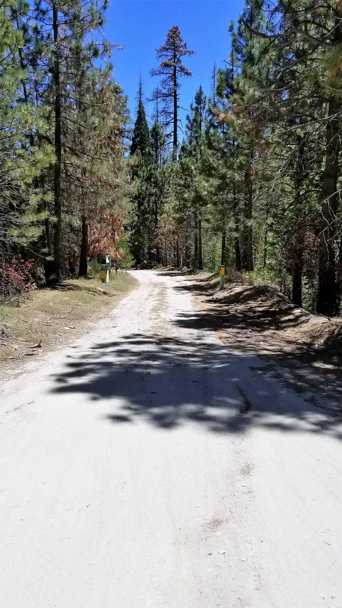
Overview Long Meadow Group Campground is a remote facility within Sequoia National Forest, in the southern portion of Giant Sequoia National Monument.
Sites1all reservable
Elev.5,968ft
Comf.May-Oct6 months
Max rig20 ft
Electricnonesites
From Fresno2h28real road time
The honest read
Synthesized from RIDB · Open-Meteo OSM · OSRM Updated 2026-05-27
At 5,968 ft, Long Meadow Group has a 6-month comfortable window (May-Oct). Winter nights average around 22°F, so the shoulder seasons turn cold fast. All 1 sites are reservable in advance, so plan ahead. Popular weekends book out. Within about 4 miles: 1 named hiking route, 6 peaks, lake or river access.
The campground at a glance
01 · CHARACTER
Reads strongest on shade and reservability. Softest on big-rig fit.
Six axes, each scored relative to every other federal campground in the region: quiet (miles to a major road), cool (elevation), roomy (average site spacing), shade, RV-fit (longest rig), and how reservable it is. All six come from data, nothing hand-tuned.
When to go
02 · CLIMATE
avg highavg lowfrost-freedriest · Jul
May-Oct
Comfortable window: nights stay above 35°F, days below 90°F.
97%
Of summer weekend-days are dry.
Jun 2
Last spring frost; first fall frost Oct 17.
51°F
Average July low. Bring a fleece.
Getting there
03 · ACCESS
01
Fresno
111 mi
2h28
02
Los Angeles
175 mi
3h53
03
San Diego
312 mi
6h56
04
Sacramento
313 mi
6h57
05
San Francisco
319 mi
7h05
By drive time
Picking your site
04 · 1 SITES
0
Pull-thru
0
Walk-in
0
50-amp
0
Accessible
0
Prime
1
Sites
What's within four miles
05 · TRAILS · PEAKS · WATER
Trails & Peaks
Named hiking routes
1
Trail segments
14
Peaks
6
Water & Access
Lake / river access
yes
Method
We synthesize public data layers: RIDB and Recreation.gov facility and site records, Open-Meteo climate normals, OpenStreetMap roads, trails, and water, OSRM drive times, and USGS elevation. We take no bookings, no ads, and no paid placements. Independence is the entire point.