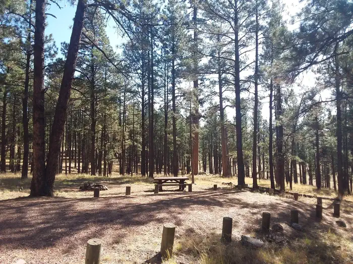
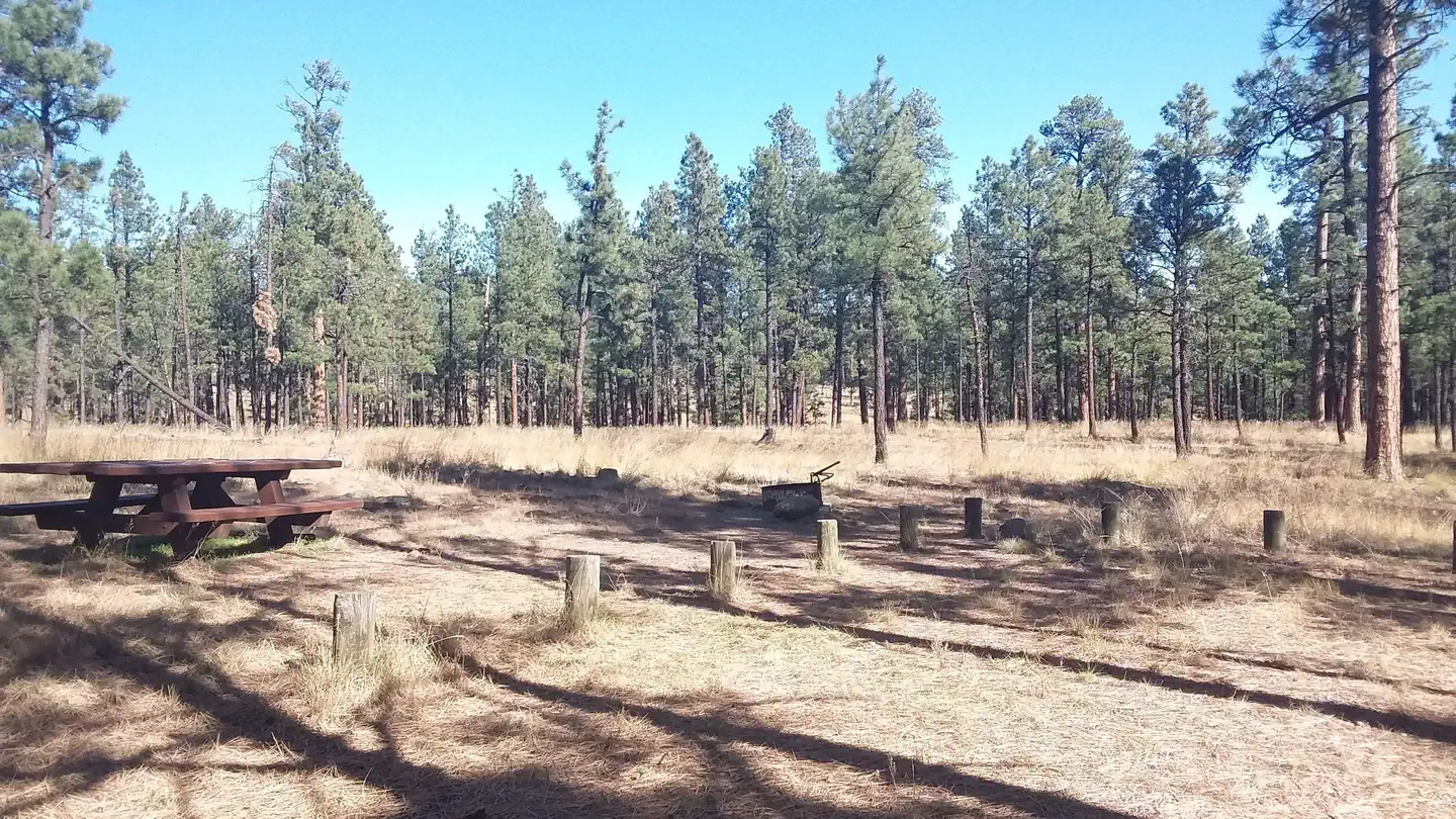
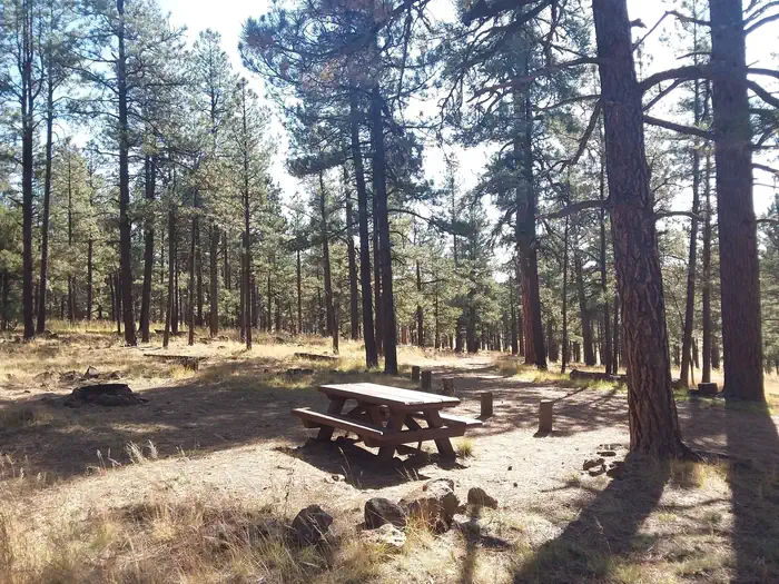
Overview Luna Lake Campground is a pleasant vacation site with open forest, lush meadows, a lake with great fishing, first rate mountain scenery and additional recreation facilities located within eas
Sites6032 reservable
Elev.7,986ft
Comf.May-Oct6 months
Max rig192 ft16 pull-thru
Electricnonesites
From Flagstaff4h19real road time
The honest read
Synthesized from RIDB · Open-Meteo OSM · OSRM Updated 2026-05-27
At 7,986 ft, Luna Lake has a 6-month comfortable window (May-Oct). Winter nights average around 18°F, so the shoulder seasons turn cold fast. 60 sites total: 32 reservable and 28 first-come, first-served. Of the sites, 16 pull-through, and the longest takes a 192-ft rig. Within about 4 miles: lake or river access.
The campground at a glance
01 · CHARACTER
Reads strongest on cool nights and shade. Softest on roomy sites.
Six axes, each scored relative to every other federal campground in the region: quiet (miles to a major road), cool (elevation), roomy (average site spacing), shade, RV-fit (longest rig), and how reservable it is. All six come from data, nothing hand-tuned.
When to go
02 · CLIMATE
avg highavg lowfrost-freedriest · Apr
May-Oct
Comfortable window: nights stay above 35°F, days below 90°F.
79%
Of summer weekend-days are dry.
May 9
Last spring frost; first fall frost Oct 17.
55°F
Average July low. Bring a fleece.
Getting there
03 · ACCESS
01
Flagstaff
207 mi
4h19
02
Phoenix
254 mi
5h30
03
Tucson
267 mi
5h57
By drive time
Routed road time (OSRM). Nearest major highway 0.6 mi away.
We synthesize public data layers: RIDB and Recreation.gov facility and site records, Open-Meteo climate normals, OpenStreetMap roads, trails, and water, OSRM drive times, and USGS elevation. We take no bookings, no ads, and no paid placements. Independence is the entire point.