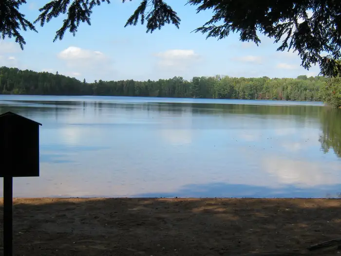
Overview Nestled between two deep clear lakes, Luna-White Deer Campground provides a north woods experience where you can hear the call of the loons at night and see lots of wildlife by day.
Sites3720 reservable
Elev.1,798ft
Comf.May-Oct6 months
Max rig40 ft
Electricnonesites
From Wausau2h37real road time
The honest read
Synthesized from RIDB · Open-Meteo OSM · OSRM Updated 2026-05-27
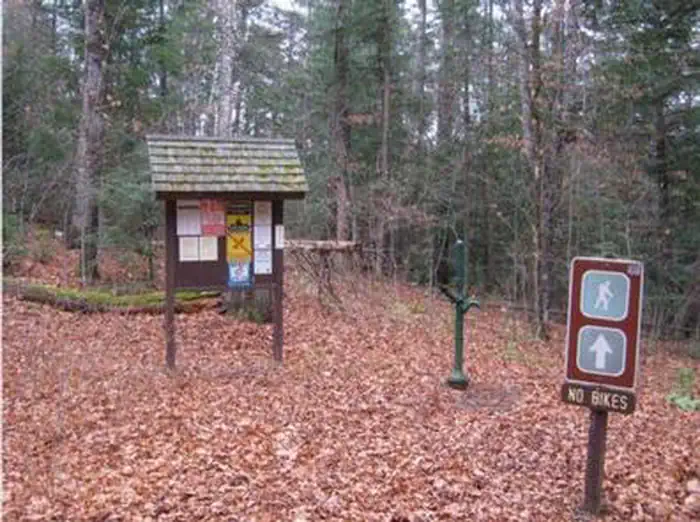
At 1,798 ft, Luna White Deer Campground has a 6-month comfortable window (May-Oct). Winter nights average around 9°F, so the shoulder seasons turn cold fast. 37 sites total: 20 reservable and 17 first-come, first-served. Within about 4 miles: 2 named hiking routes, lake or river access.
The campground at a glance
01 · CHARACTER
Reads strongest on shade and reservability. Softest on roomy sites.
Six axes, each scored relative to every other federal campground in the region: quiet (miles to a major road), cool (elevation), roomy (average site spacing), shade, RV-fit (longest rig), and how reservable it is. All six come from data, nothing hand-tuned.
When to go
02 · CLIMATE
avg highavg lowfrost-freedriest · Jan
May-Oct
Comfortable window: nights stay above 35°F, days below 90°F.
74%
Of summer weekend-days are dry.
May 9
Last spring frost; first fall frost Oct 20.
60°F
Average July low.
Getting there
03 · ACCESS
01
Wausau
104 mi
2h37
02
Madison
243 mi
5h17
03
Milwaukee
256 mi
5h52
By drive time
Routed road time (OSRM). Nearest major highway 5 mi away.
We synthesize public data layers: RIDB and Recreation.gov facility and site records, Open-Meteo climate normals, OpenStreetMap roads, trails, and water, OSRM drive times, and USGS elevation. We take no bookings, no ads, and no paid placements. Independence is the entire point.