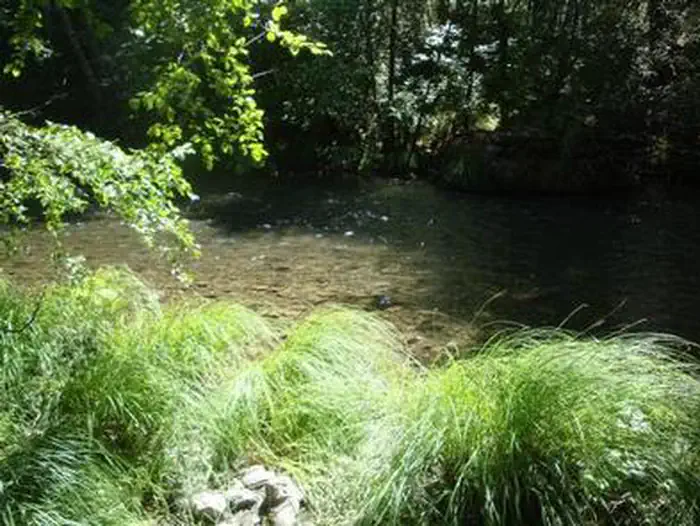
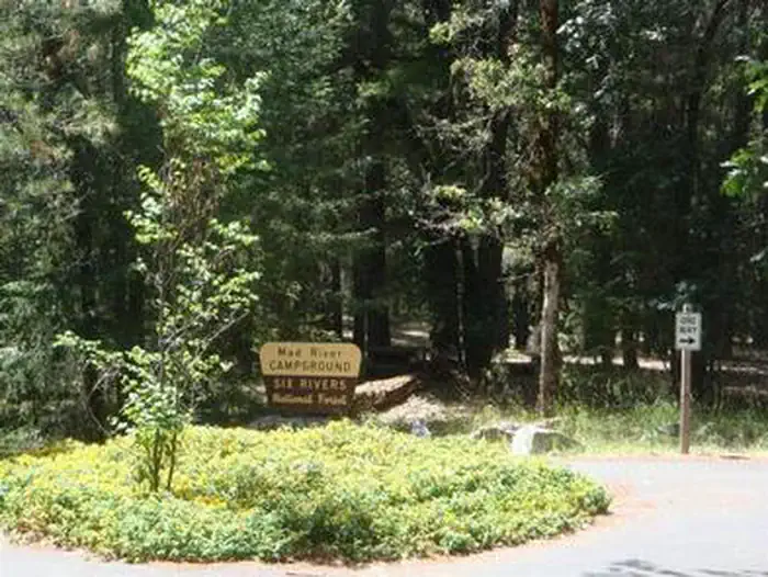
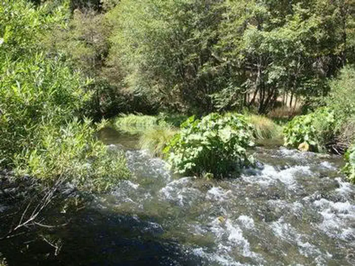
Overview Mad River Campground is located on banks of its namesake river, about two miles south of Ruth Lake in the thickly forested mountains of northern California.
Sites35first-come
Elev.2,533ft
Comf.Jan-Dec10 months
Max rig35 ft1 pull-thru
Electricnonesites
From Sacramento4h44real road time
The honest read
Synthesized from RIDB · Open-Meteo OSM · OSRM Updated 2026-05-27
At 2,533 ft, Mad River Campground has a 10-month comfortable window (Jan-Dec). Winter nights average around 36°F, so the shoulder seasons turn cold fast. All 35 sites are first-come, first-served. No reservations, so arrive early. Of the sites, 1 pull-through, and the longest takes a 35-ft rig. Within about 4 miles: 4 peaks, lake or river access.
The campground at a glance
01 · CHARACTER
Reads strongest on shade and cool nights. Softest on reservability.
Six axes, each scored relative to every other federal campground in the region: quiet (miles to a major road), cool (elevation), roomy (average site spacing), shade, RV-fit (longest rig), and how reservable it is. All six come from data, nothing hand-tuned.
When to go
02 · CLIMATE
avg highavg lowfrost-freedriest · Jul
Jan-Dec
Comfortable window: nights stay above 35°F, days below 90°F.
95%
Of summer weekend-days are dry.
Apr 19
Last spring frost; first fall frost Nov 11.
61°F
Average July low. Bring a fleece.
Getting there
03 · ACCESS
01
Sacramento
213 mi
4h44
02
San Francisco
247 mi
5h29
03
Fresno
418 mi
9h17
04
Los Angeles
682 mi
15h09
05
San Diego
826 mi
18h21
By drive time
Routed road time (OSRM). Nearest major highway 1.1 mi away.
We synthesize public data layers: RIDB and Recreation.gov facility and site records, Open-Meteo climate normals, OpenStreetMap roads, trails, and water, OSRM drive times, and USGS elevation. We take no bookings, no ads, and no paid placements. Independence is the entire point.