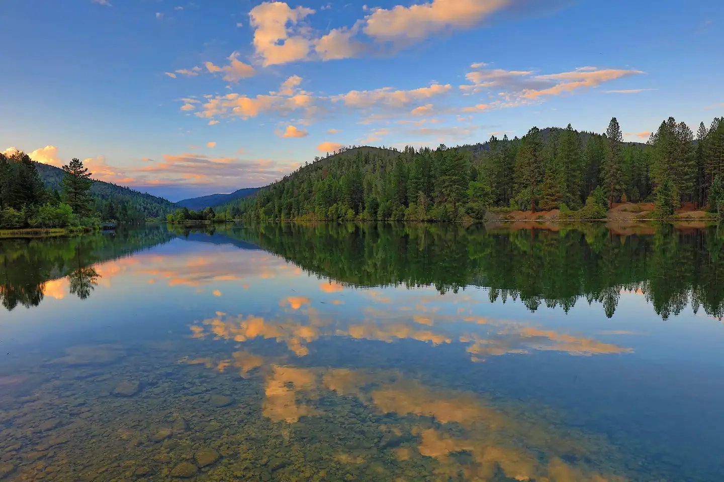
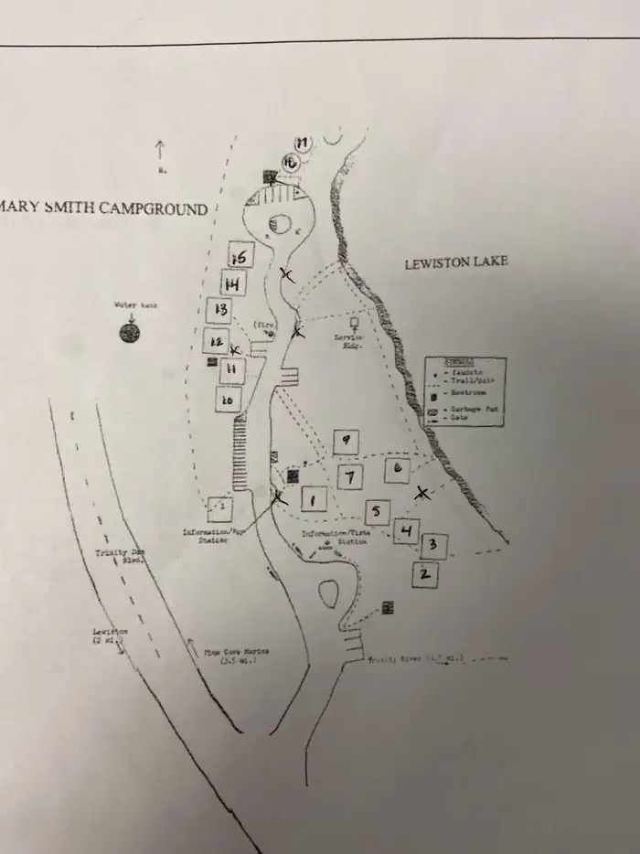
Overview Mary Smith Campground is located off County Road 105, two miles north of the town of Lewiston, CA.
Sites2015 reservable
Elev.5,984ft
Comf.May-Oct6 months
Max rigtents
Electricnonesites
From Sacramento5h09real road time
The honest read
Synthesized from RIDB · Open-Meteo OSM · OSRM Updated 2026-05-27
At 5,984 ft, Mary Smith Campground has a 6-month comfortable window (May-Oct). Winter nights average around 26°F, so the shoulder seasons turn cold fast. 20 sites total: 15 reservable and 5 first-come, first-served. Of the sites, 20 walk-in. Within about 4 miles: 1 named hiking route, 17 peaks, lake or river access.
The campground at a glance
01 · CHARACTER
Reads strongest on shade and reservability. Softest on roomy sites.
Six axes, each scored relative to every other federal campground in the region: quiet (miles to a major road), cool (elevation), roomy (average site spacing), shade, RV-fit (longest rig), and how reservable it is. All six come from data, nothing hand-tuned.
When to go
02 · CLIMATE
avg highavg lowfrost-freedriest · Jul
May-Oct
Comfortable window: nights stay above 35°F, days below 90°F.
93%
Of summer weekend-days are dry.
Jun 15
Last spring frost; first fall frost Oct 9.
57°F
Average July low. Bring a fleece.
Getting there
03 · ACCESS
01
Sacramento
232 mi
5h09
02
San Francisco
285 mi
6h20
03
Fresno
435 mi
9h40
04
Los Angeles
701 mi
15h35
05
San Diego
845 mi
18h47
By drive time
Routed road time (OSRM). Nearest major highway 5.7 mi away.
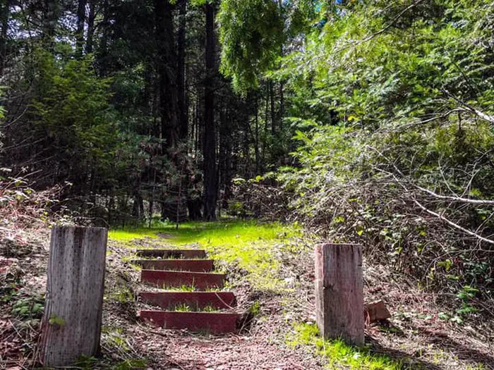
MARY SMITH CAMPGROUND · prime location · walk-in · shaded.
To neighbor
42 ft
Location
Prime
0
Type
Walk-in
What's within four miles
05 · TRAILS · PEAKS · WATER
Trails & Peaks
Named hiking routes
1
Trail segments
29
Peaks
17
Water & Access
Lake / river access
yes
To nearest major road
5.7 mi
Method
We synthesize public data layers: RIDB and Recreation.gov facility and site records, Open-Meteo climate normals, OpenStreetMap roads, trails, and water, OSRM drive times, and USGS elevation. We take no bookings, no ads, and no paid placements. Independence is the entire point.