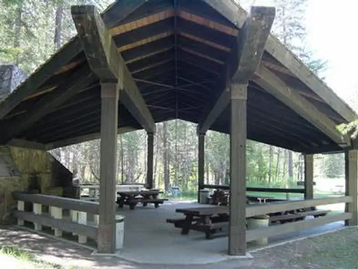
Overview McGillivray Campground has 33 total campsites and provides reservation opportunities for two group sites within the campground loops and a large group shelter located within the facility .
Sites397 reservable
Elev.2,549ft
Comf.May-Oct6 months
Max rig40 ft27 pull-thru
Electricnonesites
From Missoula4h56real road time
The honest read
Synthesized from RIDB · Open-Meteo OSM · OSRM Updated 2026-05-27
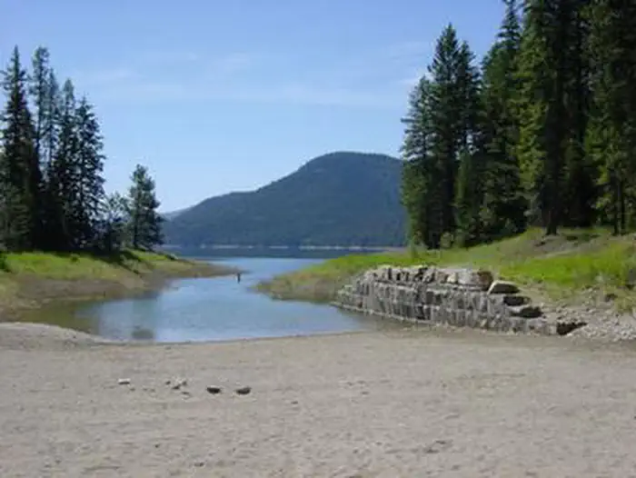
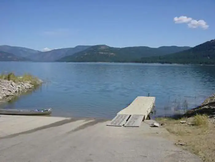
At 2,549 ft, Mcgillivray Campground (MT) has a 6-month comfortable window (May-Oct). Winter nights average around 21°F, so the shoulder seasons turn cold fast. 39 sites total: 7 reservable and 32 first-come, first-served. Of the sites, 27 pull-through, 5 walk-in, and the longest takes a 40-ft rig. Within about 4 miles: 1 peak, lake or river access.
The campground at a glance
01 · CHARACTER
Reads strongest on shade and quiet. Softest on roomy sites.
Six axes, each scored relative to every other federal campground in the region: quiet (miles to a major road), cool (elevation), roomy (average site spacing), shade, RV-fit (longest rig), and how reservable it is. All six come from data, nothing hand-tuned.
When to go
02 · CLIMATE
avg highavg lowfrost-freedriest · Jul
May-Oct
Comfortable window: nights stay above 35°F, days below 90°F.
84%
Of summer weekend-days are dry.
May 1
Last spring frost; first fall frost Oct 19.
56°F
Average July low. Bring a fleece.
Getting there
03 · ACCESS
01
Missoula
207 mi
4h56
02
Helena
280 mi
6h06
03
Bozeman
395 mi
7h57
04
Billings
536 mi
10h18
By drive time
Routed road time (OSRM). Nearest major highway 13.2 mi away.
We synthesize public data layers: RIDB and Recreation.gov facility and site records, Open-Meteo climate normals, OpenStreetMap roads, trails, and water, OSRM drive times, and USGS elevation. We take no bookings, no ads, and no paid placements. Independence is the entire point.