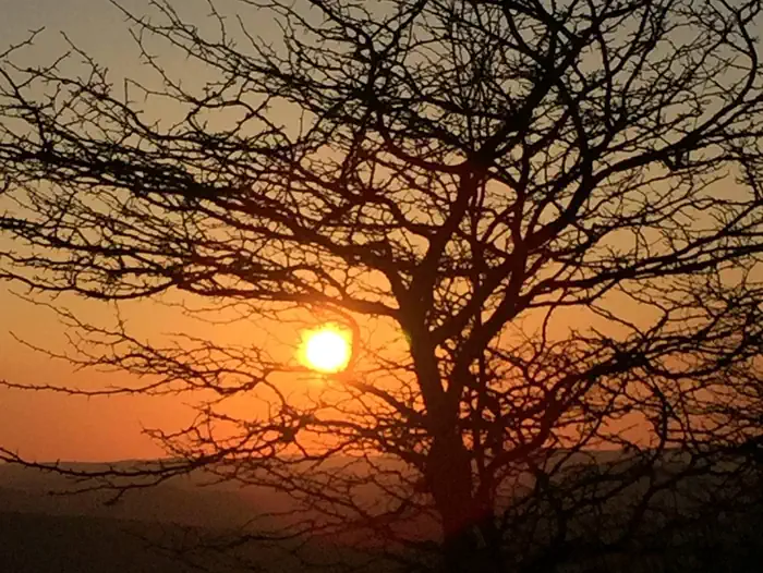
Overview The Middle Mountain Cabins are nestled in a small grassy opening near a small pond and Camp Five Run, a hiking trail that leads into the Laurel Fork South Wilderness.
Sites1all reservable
Elev.3,274ft
Comf.Apr-Oct7 months
Max rigtents
Electricnonesites
From Morgantown3h09real road time
The honest read
Synthesized from RIDB · Open-Meteo OSM · OSRM Updated 2026-05-27
At 3,274 ft, Middle Mountain Cabins has a 7-month comfortable window (Apr-Oct). Winter nights average around 20°F, so the shoulder seasons turn cold fast. All 1 sites are reservable in advance, so plan ahead. Popular weekends book out. Within about 4 miles: 2 named hiking routes, 10 peaks.
The campground at a glance
01 · CHARACTER
Reads strongest on shade and reservability. Softest on cool nights.
Six axes, each scored relative to every other federal campground in the region: quiet (miles to a major road), cool (elevation), roomy (average site spacing), shade, RV-fit (longest rig), and how reservable it is. All six come from data, nothing hand-tuned.
When to go
02 · CLIMATE
avg highavg lowfrost-freedriest · Nov
Apr-Oct
Comfortable window: nights stay above 35°F, days below 90°F.
71%
Of summer weekend-days are dry.
May 3
Last spring frost; first fall frost Oct 22.
60°F
Average July low. Bring a fleece.
Getting there
03 · ACCESS
01
Morgantown
102 mi
3h09
02
Charleston
172 mi
4h18
03
Washington DC
204 mi
5h16
By drive time
Routed road time (OSRM). Nearest major highway 7.1 mi away.
Picking your site
04 · 1 SITES
0
Pull-thru
0
Walk-in
0
50-amp
0
Accessible
0
Prime
1
Sites
What's within four miles
05 · TRAILS · PEAKS · WATER
Trails & Peaks
Named hiking routes
2
Trail segments
7
Peaks
10
Water & Access
To nearest major road
7.1 mi
Method
We synthesize public data layers: RIDB and Recreation.gov facility and site records, Open-Meteo climate normals, OpenStreetMap roads, trails, and water, OSRM drive times, and USGS elevation. We take no bookings, no ads, and no paid placements. Independence is the entire point.