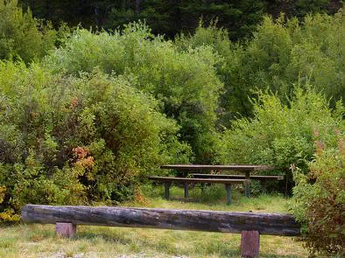
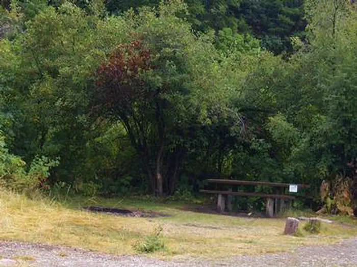
Overview Montpelier Canyon Campground provides a rustic camping opportunity next to Highway 89, along Montpelier Creek, at an elevation of 6,400 feet.
Sites15all reservable
Elev.6,250ft
Comf.Jun-Sep4 months
Max rig30 ft
Electricnonesites
From Idaho Falls2h38real road time
The honest read
Synthesized from RIDB · Open-Meteo OSM · OSRM Updated 2026-05-27
At 6,250 ft, Montpelier Canyon Campground has a 4-month comfortable window (Jun-Sep). Winter nights average around 11°F, so the shoulder seasons turn cold fast. All 15 sites are reservable in advance, so plan ahead. Popular weekends book out. Within about 4 miles: 14 peaks, lake or river access.
The campground at a glance
01 · CHARACTER
Reads strongest on reservability and shade. Softest on roomy sites.
Six axes, each scored relative to every other federal campground in the region: quiet (miles to a major road), cool (elevation), roomy (average site spacing), shade, RV-fit (longest rig), and how reservable it is. All six come from data, nothing hand-tuned.
When to go
02 · CLIMATE
avg highavg lowfrost-freedriest · Jul
Jun-Sep
Comfortable window: nights stay above 35°F, days below 90°F.
95%
Of summer weekend-days are dry.
Jun 10
Last spring frost; first fall frost Sep 23.
50°F
Average July low. Bring a fleece.
Getting there
03 · ACCESS
01
Idaho Falls
140 mi
2h38
02
Boise
326 mi
5h35
03
Coeur d'Alene
615 mi
10h22
By drive time
Routed road time (OSRM). Nearest major highway 0.1 mi away.
We synthesize public data layers: RIDB and Recreation.gov facility and site records, Open-Meteo climate normals, OpenStreetMap roads, trails, and water, OSRM drive times, and USGS elevation. We take no bookings, no ads, and no paid placements. Independence is the entire point.