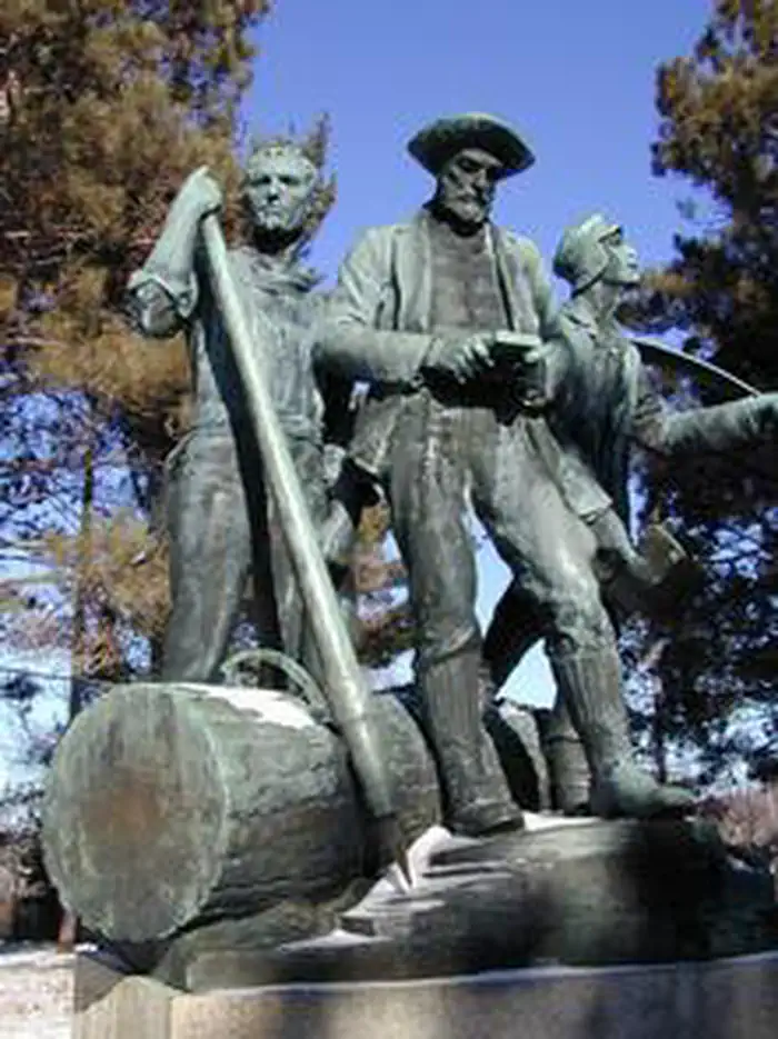
Overview Monument Campground was established in 1909 as one of the first campgrounds built in the Huron National Forest.
Sites199 reservable
Elev.860ft
Comf.May-Oct6 months
Max rig50 ft
Electricnonesites
From Traverse City2h57real road time
The honest read
Synthesized from RIDB · Open-Meteo OSM · OSRM Updated 2026-05-27
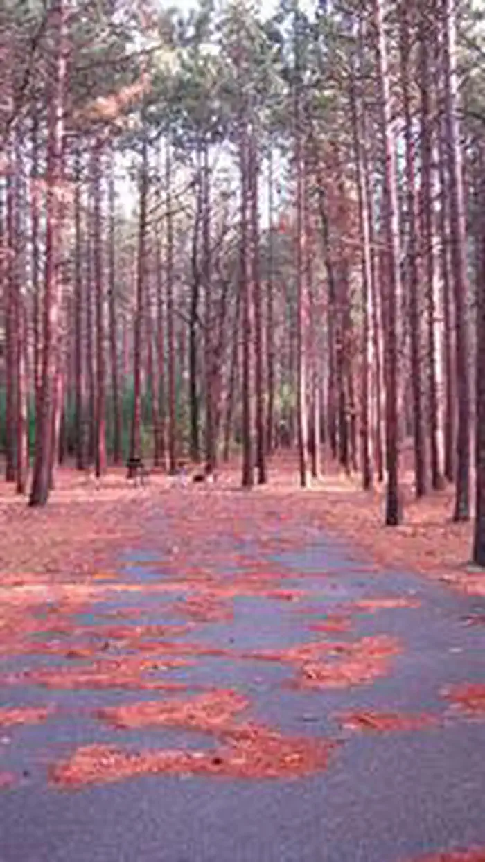
At 860 ft, Monument Campground has a 6-month comfortable window (May-Oct). Winter nights average around 15°F, so the shoulder seasons turn cold fast. 19 sites total: 9 reservable and 10 first-come, first-served. Within about 4 miles: lake or river access.
The campground at a glance
01 · CHARACTER
Reads strongest on shade and reservability. Softest on roomy sites.
Six axes, each scored relative to every other federal campground in the region: quiet (miles to a major road), cool (elevation), roomy (average site spacing), shade, RV-fit (longest rig), and how reservable it is. All six come from data, nothing hand-tuned.
When to go
02 · CLIMATE
avg highavg lowfrost-freedriest · Nov
May-Oct
Comfortable window: nights stay above 35°F, days below 90°F.
74%
Of summer weekend-days are dry.
May 5
Last spring frost; first fall frost Oct 30.
61°F
Average July low.
Getting there
03 · ACCESS
01
Traverse City
131 mi
2h57
02
Detroit
190 mi
3h40
03
Grand Rapids
203 mi
4h08
04
Marquette
304 mi
6h08
By drive time
Routed road time (OSRM). Nearest major highway 3.1 mi away.
We synthesize public data layers: RIDB and Recreation.gov facility and site records, Open-Meteo climate normals, OpenStreetMap roads, trails, and water, OSRM drive times, and USGS elevation. We take no bookings, no ads, and no paid placements. Independence is the entire point.