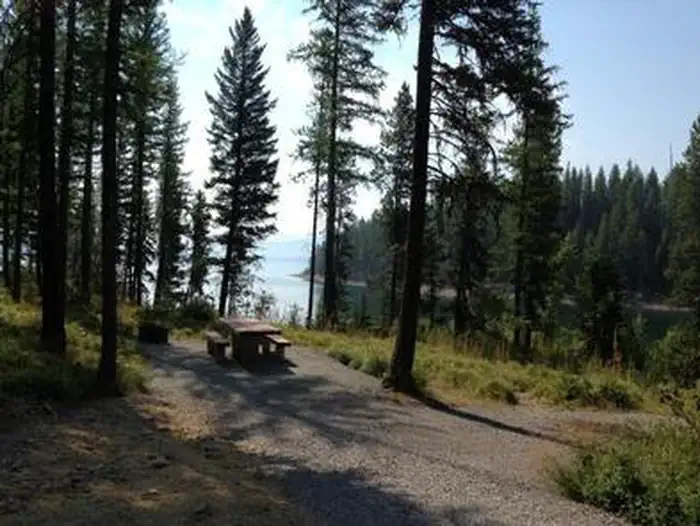
Overview Murray Bay Campground is located on the Hungry Horse Reservoir, high in the Rocky Mountains, less than 30 miles from the Continental Divide, surrounded by towering mountain peaks.
Sites2011 reservable
Elev.3,576ft
Comf.May-Oct6 months
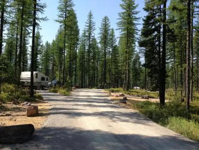
Max rig60 ft6 pull-thru
Electricnonesites
From Missoula3h46real road time
The honest read
Synthesized from RIDB · Open-Meteo OSM · OSRM Updated 2026-05-27
At 3,576 ft, Murray Bay Campground (MT) has a 6-month comfortable window (May-Oct). Winter nights average around 24°F, so the shoulder seasons turn cold fast. 20 sites total: 11 reservable and 9 first-come, first-served. Of the sites, 6 pull-through, and the longest takes a 60-ft rig. Within about 4 miles: 1 peak.
The campground at a glance
01 · CHARACTER
Reads strongest on shade and quiet. Softest on roomy sites.
Six axes, each scored relative to every other federal campground in the region: quiet (miles to a major road), cool (elevation), roomy (average site spacing), shade, RV-fit (longest rig), and how reservable it is. All six come from data, nothing hand-tuned.
When to go
02 · CLIMATE
avg highavg lowfrost-freedriest · Jul
May-Oct
Comfortable window: nights stay above 35°F, days below 90°F.
81%
Of summer weekend-days are dry.
May 4
Last spring frost; first fall frost Oct 17.
53°F
Average July low. Bring a fleece.
Getting there
03 · ACCESS
01
Missoula
150 mi
3h46
02
Helena
227 mi
4h50
03
Bozeman
343 mi
6h41
04
Billings
442 mi
8h52
By drive time
Routed road time (OSRM). Nearest major highway 9.2 mi away.
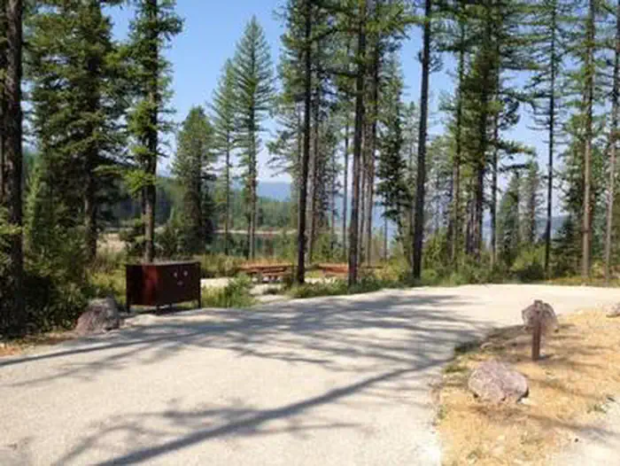
Loop within Park · good location · pull-through · shaded.
To neighbor
228 ft
Location
Good
Max rig
60 ft
Type
Pull-thru
What's within four miles
05 · TRAILS · PEAKS · WATER
Trails & Peaks
Peaks
1
Water & Access
To nearest major road
9.2 mi
Method
We synthesize public data layers: RIDB and Recreation.gov facility and site records, Open-Meteo climate normals, OpenStreetMap roads, trails, and water, OSRM drive times, and USGS elevation. We take no bookings, no ads, and no paid placements. Independence is the entire point.