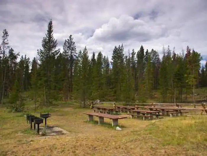
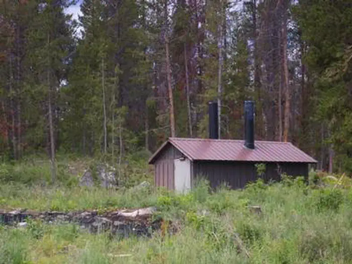
Overview Located just 24 miles north of Pinedale, New Fork Group Campground includes large picnic tables, BBQ stands, a fire ring, and a double vault toilet for your large party needs.
Sites161 reservable
Elev.7,844ft
Comf.Jun-Sep4 months
Max rig30 ft
Electricnonesites
From Jackson1h52real road time
The honest read
Synthesized from RIDB · Open-Meteo OSM · OSRM Updated 2026-05-27
At 7,844 ft, New Fork Lake Group Campground has a 4-month comfortable window (Jun-Sep). Winter nights average around 10°F, so the shoulder seasons turn cold fast. 16 sites total: 1 reservable and 15 first-come, first-served. Within about 4 miles: 1 peak.
The campground at a glance
01 · CHARACTER
Reads strongest on cool nights and quiet. Softest on shade.
Six axes, each scored relative to every other federal campground in the region: quiet (miles to a major road), cool (elevation), roomy (average site spacing), shade, RV-fit (longest rig), and how reservable it is. All six come from data, nothing hand-tuned.
When to go
02 · CLIMATE
avg highavg lowfrost-freedriest · Jul
Jun-Sep
Comfortable window: nights stay above 35°F, days below 90°F.
90%
Of summer weekend-days are dry.
Jun 19
Last spring frost; first fall frost Sep 16.
47°F
Average July low. Bring a fleece.
Getting there
03 · ACCESS
01
Jackson
74 mi
1h52
02
Casper
306 mi
6h15
03
Cheyenne
379 mi
6h57
By drive time
Routed road time (OSRM). Nearest major highway 8.8 mi away.
Picking your site
04 · 16 SITES
0
Pull-thru
0
Walk-in
0
50-amp
0
Accessible
0
Prime
16
Sites
What's within four miles
05 · TRAILS · PEAKS · WATER
Trails & Peaks
Trail segments
12
Peaks
1
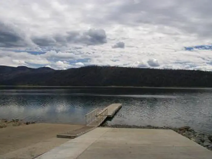
Water & Access
To nearest major road
8.8 mi
Method
We synthesize public data layers: RIDB and Recreation.gov facility and site records, Open-Meteo climate normals, OpenStreetMap roads, trails, and water, OSRM drive times, and USGS elevation. We take no bookings, no ads, and no paid placements. Independence is the entire point.