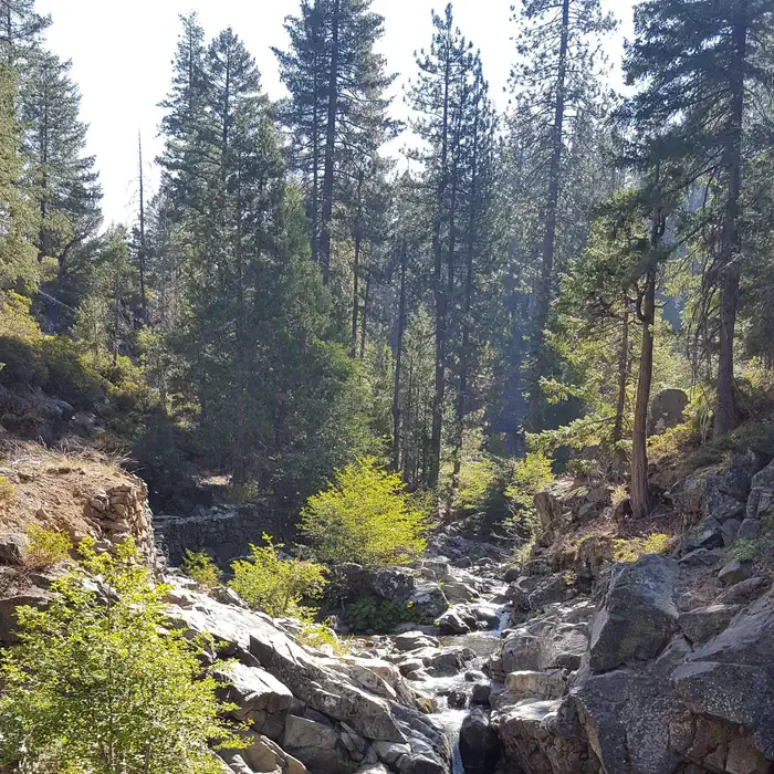
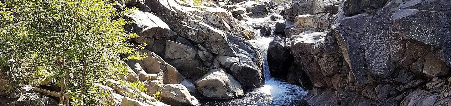
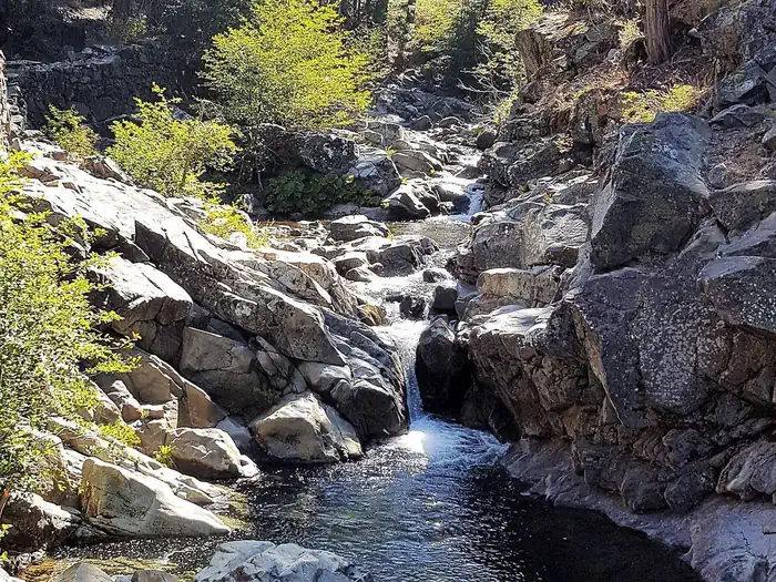
Overview North Fork Campground is located along the North Fork of the North Fork American River in the Tahoe National Forest, off of Interstate 80, at the Emigrant Gap Exit.
Sites1614 reservable
Elev.4,793ft
Comf.May-Oct6 months
Max rig50 ft
Electricnonesites
From Sacramento1h53real road time
The honest read
Synthesized from RIDB · Open-Meteo OSM · OSRM Updated 2026-05-27
At 4,793 ft, North Fork (CA) has a 6-month comfortable window (May-Oct). Winter nights average around 29°F, so the shoulder seasons turn cold fast. 16 sites total: 14 reservable and 2 first-come, first-served. This is bear country, and food-storage lockers are provided. Within about 4 miles: 1 named hiking route, 3 peaks, lake or river access.
The campground at a glance
01 · CHARACTER
Reads strongest on shade and reservability. Softest on roomy sites.
Six axes, each scored relative to every other federal campground in the region: quiet (miles to a major road), cool (elevation), roomy (average site spacing), shade, RV-fit (longest rig), and how reservable it is. All six come from data, nothing hand-tuned.
When to go
02 · CLIMATE
avg highavg lowfrost-freedriest · Jul
May-Oct
Comfortable window: nights stay above 35°F, days below 90°F.
93%
Of summer weekend-days are dry.
May 29
Last spring frost; first fall frost Oct 19.
57°F
Average July low. Bring a fleece.
Getting there
03 · ACCESS
01
Sacramento
85 mi
1h53
02
San Francisco
183 mi
4h04
03
Fresno
236 mi
5h15
04
Los Angeles
500 mi
11h07
05
San Diego
641 mi
14h15
By drive time
Routed road time (OSRM). Nearest major highway 1.9 mi away.
We synthesize public data layers: RIDB and Recreation.gov facility and site records, Open-Meteo climate normals, OpenStreetMap roads, trails, and water, OSRM drive times, and USGS elevation. We take no bookings, no ads, and no paid placements. Independence is the entire point.