Overview Oak Ridge Campground is a 100-site, wooded campground located in Prince William Forest Park, 35 miles (56 km) southwest of Washington, DC.
Sites9993 reservable
Elev.413ft
Comf.Mar-Nov9 months
Max rig32 ft
Electricnonesites
From Washington DC1h05real road time
The honest read
Synthesized from RIDB · Open-Meteo OSM · OSRM Updated 2026-05-27
At 413 ft, Oak Ridge Campground has a 9-month comfortable window (Mar-Nov). Winter nights average around 30°F, so the shoulder seasons turn cold fast. 99 sites total: 93 reservable and 6 first-come, first-served. Within about 4 miles: 1 named hiking route, 5 peaks, lake or river access.
What campers say
SYNTHESIZED · MODERATE SIGNAL
Access
01 / 06
Genuinely close to DC for a woodsy weekend.
It is about 35 miles and under an hour from Washington, and it still feels remote and wooded once you are in. People use it as an easy base for the area.
Sites
02 / 06
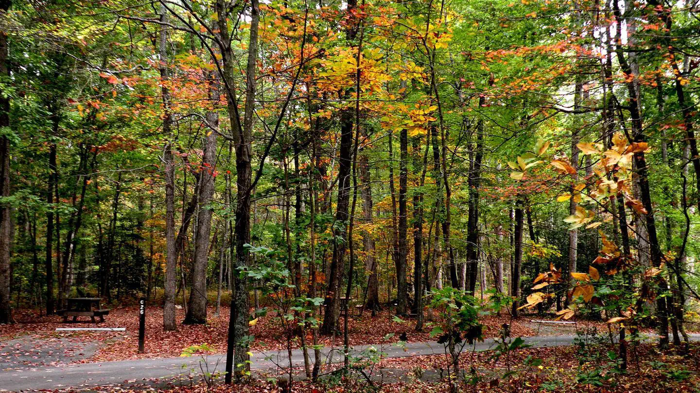
Mostly spacious and wooded, and Loop C is the private tent-only one.
Sites are paved spurs with good spacing, though size varies. Loop C is the most private with walk-in tent sites, while Loops A and B take RVs up to about 32 feet.
Facilities
03 / 06
Very clean bathrooms, but showers are in Loop B only and there are no hookups.
The renovated restrooms and reliable hot showers get the most praise, but only Loop B has them, so Loop C tent campers walk a few minutes. There are no electric or water hookups and no dump station, and water comes from spigots.
Vibe
04 / 06
The I-95 noise is a non-issue. The wildcard is Quantico.
A thick tree buffer keeps highway noise down. The real variable is the neighboring Marine base, where gunfire and aircraft can carry, sometimes loudly and sometimes not at all depending on training.
Trails & access
05 / 06
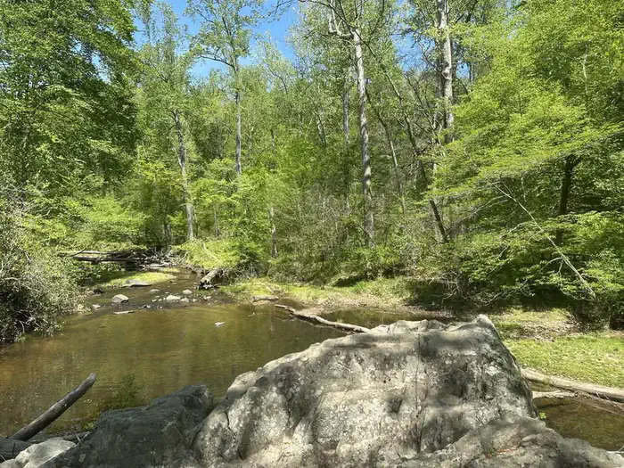
A big trail network and Quantico Creek right from camp.
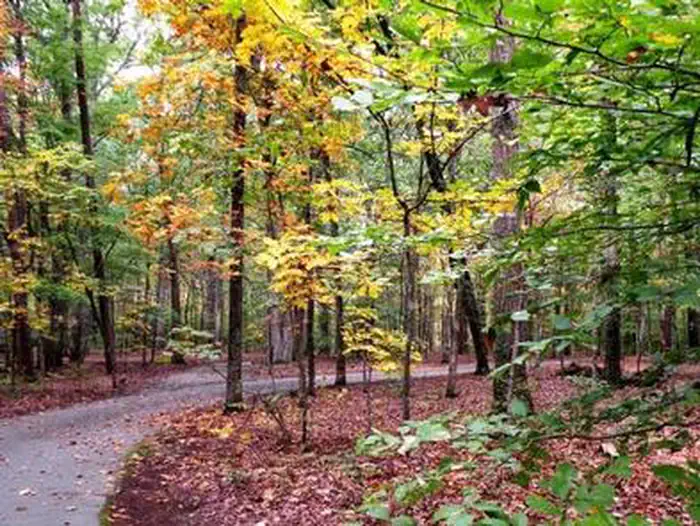
The park has roughly 37 miles of trails plus fire roads for biking, and a CCC-built suspension bridge over the creek.
Wildlife & sky
06 / 06
The wildlife to plan for is ticks.
Ticks are the recurring warning, with a few mentions of copperheads on the trails. Larger animals barely come up.
Synthesized from public trip reports and forum discussion, summarized in our words and never quoted. This is durable sentiment, not a live feed.
The campground at a glance
01 · CHARACTER
Reads strongest on reservability and shade. Softest on roomy sites.
Six axes, each scored relative to every other federal campground in the region: quiet (miles to a major road), cool (elevation), roomy (average site spacing), shade, RV-fit (longest rig), and how reservable it is. All six come from data, nothing hand-tuned.
When to go
02 · CLIMATE
avg highavg lowfrost-freedriest · Jan
Mar-Nov
Comfortable window: nights stay above 35°F, days below 90°F.
70%
Of summer weekend-days are dry.
Mar 25
Last spring frost; first fall frost Nov 18.
71°F
Average July low.
Getting there
03 · ACCESS
01
Washington DC
39 mi
1h05
02
Richmond
83 mi
1h51
03
Norfolk
168 mi
3h33
04
Roanoke
210 mi
4h39
By drive time
Routed road time (OSRM). Nearest major highway 1.5 mi away.
We synthesize public data layers: RIDB and Recreation.gov facility and site records, Open-Meteo climate normals, OpenStreetMap roads, trails, and water, OSRM drive times, and USGS elevation. We take no bookings, no ads, and no paid placements. Independence is the entire point.