campgrounds.fyiIndependent · federal campgrounds · no paid placements
← All campgrounds
Man and woman standing next to picnic table on wood chip campsite. On the tent pad behind the campers is a tent. Waste back hangs from lantern pole. Site is surrounded by dense forest.
Front view of upper comfort station building showing 2 windows, door and paved path. Dense deciduous forest visible behind buildingSmall rocky creek lined with trees in orange and gold foliage.
NPSCatoctin Mountain Park · Maryland

Owens Creek Campground

Overview Owens Creek Campground offers families and individuals enjoyable primitive tent camping.
Sites5148 reservable
Elev.1,289ft
Comf.Apr-Nov8 months
Max rig22 ft3 pull-thru
Electricnonesites
From Baltimore1h37real road time
The honest read
Synthesized from
RIDB · Open-Meteo
OSM · OSRM
Updated 2026-05-27

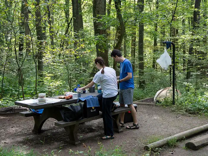
At 1,289 ft, Owens Creek Campground has a 8-month comfortable window (Apr-Nov). Winter nights average around 26°F, so the shoulder seasons turn cold fast. 51 sites total: 48 reservable and 3 first-come, first-served. Of the sites, 3 pull-through, and the longest takes a 22-ft rig. Within about 4 miles: 24 named hiking routes, 10 peaks, lake or river access.

The campground at a glance

01 · CHARACTER
QuietCoolRoomyShadeRV-fitReserv.

Reads strongest on shade and reservability. Softest on roomy sites.

Six axes, each scored relative to every other federal campground in the region: quiet (miles to a major road), cool (elevation), roomy (average site spacing), shade, RV-fit (longest rig), and how reservable it is. All six come from data, nothing hand-tuned.

When to go

02 · CLIMATE
JFMAMJJASOND
avg highavg lowfrost-freedriest · Nov
Apr-Nov
Comfortable window: nights stay above 35°F, days below 90°F.
73%
Of summer weekend-days are dry.
Apr 18
Last spring frost; first fall frost Nov 5.
68°F
Average July low.

Getting there

03 · ACCESS
01
Baltimore
69 mi
1h37
02
Washington DC
68 mi
1h41
By drive time
Baltimore · 1h37Washington DC · 1h41Camp

Routed road time (OSRM). Nearest major highway 1.7 mi away.

Picking your site

04 · 51 SITES
Color byShow only

51 mapped sites · dot color = seclusion · click a dot for details. Basemap © OpenStreetMap.

3
Pull-thru
0
Walk-in
0
50-amp
3
Accessible
51
Prime
51
Sites
★ The standout
Site 30
OWENS CREEK CAMPGROUND · prime location · shaded.
To neighbor
148 ft
Location
Prime
Max rig
22 ft
Type
Standard

What's within four miles

05 · TRAILS · PEAKS · WATER

Trails & Peaks

Named hiking routes
24
Trail segments
204
Peaks
10
Viewpoints
9

Water & Access

Lake / river access
yes
To nearest major road
1.7 mi
Method

We synthesize public data layers: RIDB and Recreation.gov facility and site records, Open-Meteo climate normals, OpenStreetMap roads, trails, and water, OSRM drive times, and USGS elevation. We take no bookings, no ads, and no paid placements. Independence is the entire point.

Check availability on Recreation.gov →