NPSWhiskeytown National Recreation Area · California
Peltier Bridge Primitive Campground
Overview This tent-only campground is located in the southeast corner of Whiskeytown National Recreation Area, 13.5 miles west of Redding, California, and three and a half hours north of Sacramento.
Sites9all reservable
Elev.1,037ft
Comf.Jan-Dec9 months
Max rig15 ft
Electricnonesites
From Sacramento4h19real road time
The honest read
Synthesized from RIDB · Open-Meteo OSM · OSRM Updated 2026-05-27
At 1,037 ft, Peltier Bridge Primitive Campground has a 9-month comfortable window (Jan-Dec). Winter nights average around 42°F, so the shoulder seasons turn cold fast. All 9 sites are reservable in advance, so plan ahead. Popular weekends book out. Within about 4 miles: 4 peaks, lake or river access.
The campground at a glance
01 · CHARACTER
Reads strongest on reservability and shade. Softest on roomy sites.
Six axes, each scored relative to every other federal campground in the region: quiet (miles to a major road), cool (elevation), roomy (average site spacing), shade, RV-fit (longest rig), and how reservable it is. All six come from data, nothing hand-tuned.
When to go
02 · CLIMATE
avg highavg lowfrost-freedriest · Jul
Jan-Dec
Comfortable window: nights stay above 35°F, days below 90°F.
98%
Of summer weekend-days are dry.
Feb 9
Last spring frost; first fall frost Dec 10.
71°F
Average July low.
Getting there
03 · ACCESS
01
Sacramento
194 mi
4h19
02
San Francisco
253 mi
5h37
03
Fresno
396 mi
8h48
04
Los Angeles
662 mi
14h43
05
San Diego
806 mi
17h55
By drive time
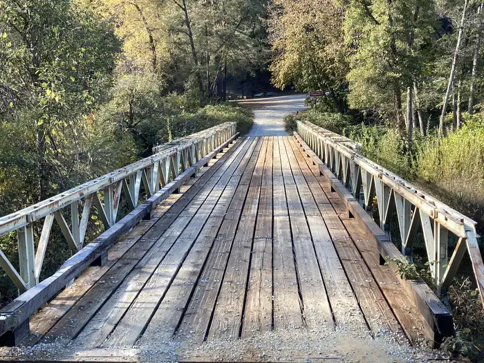
Routed road time (OSRM). Nearest major highway 2.5 mi away.
PELTIER BRIDGE PRIMITIVE CAMPGROUND · good location · shaded.
To neighbor
129 ft
Location
Good
Max rig
15 ft
Type
Standard
What's within four miles
05 · TRAILS · PEAKS · WATER
Trails & Peaks
Trail segments
74
Peaks
4
Viewpoints
3
Water & Access
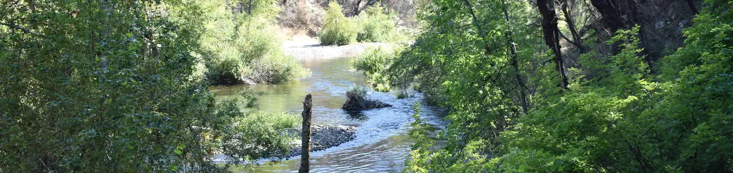
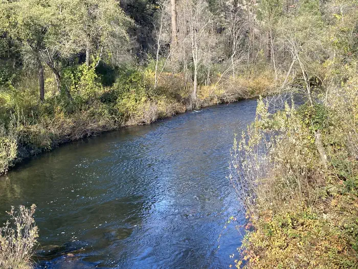
Lake / river access
yes
To nearest major road
2.5 mi
Method
We synthesize public data layers: RIDB and Recreation.gov facility and site records, Open-Meteo climate normals, OpenStreetMap roads, trails, and water, OSRM drive times, and USGS elevation. We take no bookings, no ads, and no paid placements. Independence is the entire point.