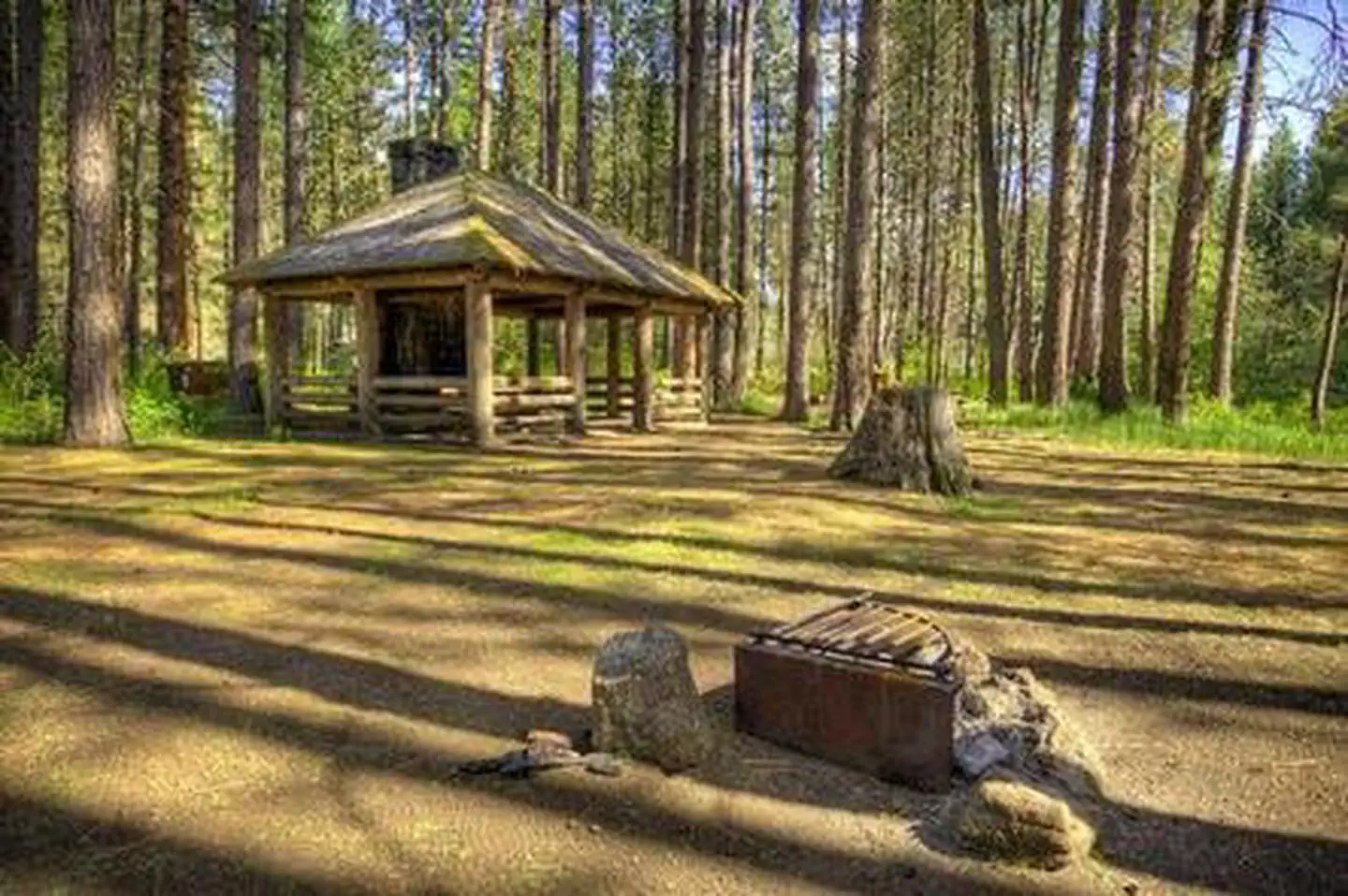
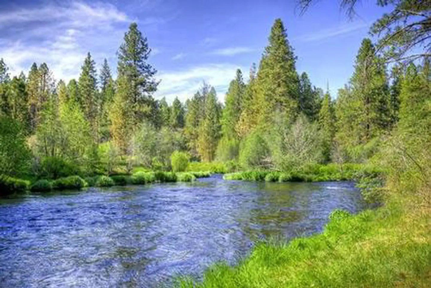
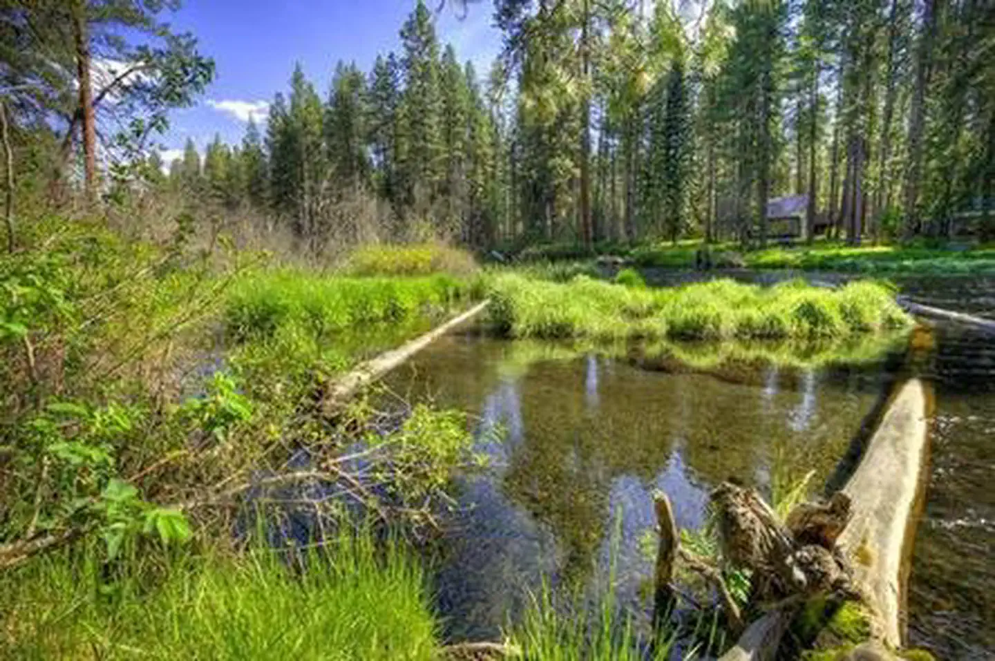
Overview Pine Rest Campground is one of a string of campgrounds that dot the Metolius River offering visitors some of the most stunning scenery in central Oregon and easy access to an abundance of rec
Sites75 reservable
Elev.2,920ft
Comf.May-Oct6 months
Max rig18 ft
Electricnonesites
From Bend1h06real road time
The honest read
Synthesized from RIDB · Open-Meteo OSM · OSRM Updated 2026-05-27
At 2,920 ft, Pine Rest Campground has a 6-month comfortable window (May-Oct). Winter nights average around 28°F, so the shoulder seasons turn cold fast. 7 sites total: 5 reservable and 2 first-come, first-served. Within about 4 miles: 1 named hiking route, 1 peak, lake or river access.
The campground at a glance
01 · CHARACTER
Reads strongest on shade and reservability. Softest on roomy sites.
Six axes, each scored relative to every other federal campground in the region: quiet (miles to a major road), cool (elevation), roomy (average site spacing), shade, RV-fit (longest rig), and how reservable it is. All six come from data, nothing hand-tuned.
When to go
02 · CLIMATE
avg highavg lowfrost-freedriest · Jul
May-Oct
Comfortable window: nights stay above 35°F, days below 90°F.
94%
Of summer weekend-days are dry.
May 8
Last spring frost; first fall frost Oct 15.
51°F
Average July low. Bring a fleece.
Getting there
03 · ACCESS
01
Bend
39 mi
1h06
02
Eugene
104 mi
2h25
03
Portland
151 mi
3h27
04
Medford
212 mi
5h01
By drive time
Routed road time (OSRM). Nearest major highway 5.2 mi away.
We synthesize public data layers: RIDB and Recreation.gov facility and site records, Open-Meteo climate normals, OpenStreetMap roads, trails, and water, OSRM drive times, and USGS elevation. We take no bookings, no ads, and no paid placements. Independence is the entire point.