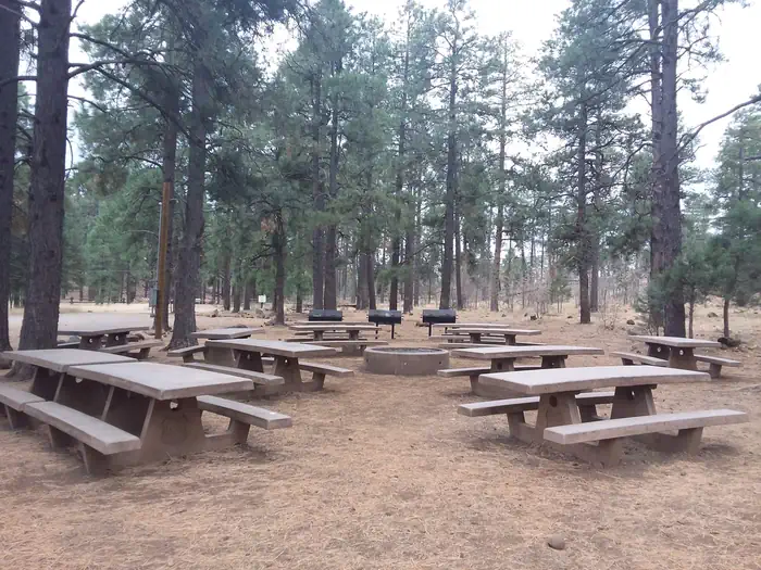
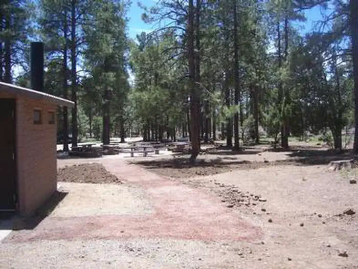
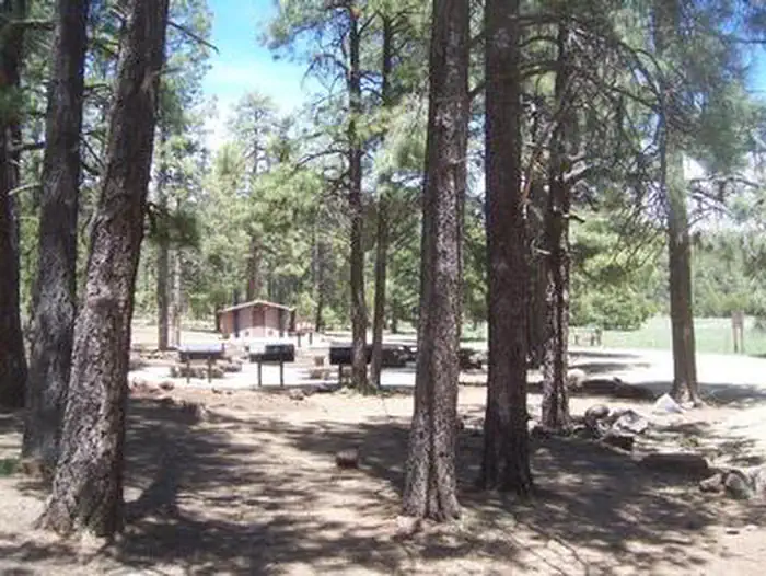
Overview Close to historic western towns and centrally located in Arizona, Playground Group Campground is a great place for groups of up to 75 people to enjoy a secluded mountain getaway.
Sites1all reservable
Elev.7,566ft
Comf.Apr-Oct7 months
Max rig40 ft
Electricnonesites
From Flagstaff2h00real road time
The honest read
Synthesized from RIDB · Open-Meteo OSM · OSRM Updated 2026-05-27
At 7,566 ft, Playground Group has a 7-month comfortable window (Apr-Oct). Winter nights average around 23°F, so the shoulder seasons turn cold fast. All 1 sites are reservable in advance, so plan ahead. Popular weekends book out. Within about 4 miles: 4 peaks, lake or river access.
The campground at a glance
01 · CHARACTER
Reads strongest on reservability and cool nights. Softest on shade.
Six axes, each scored relative to every other federal campground in the region: quiet (miles to a major road), cool (elevation), roomy (average site spacing), shade, RV-fit (longest rig), and how reservable it is. All six come from data, nothing hand-tuned.
When to go
02 · CLIMATE
avg highavg lowfrost-freedriest · Jun
Apr-Oct
Comfortable window: nights stay above 35°F, days below 90°F.
82%
Of summer weekend-days are dry.
May 2
Last spring frost; first fall frost Oct 20.
60°F
Average July low. Bring a fleece.
Getting there
03 · ACCESS
01
Flagstaff
85 mi
2h00
02
Phoenix
106 mi
2h12
03
Tucson
219 mi
4h09
By drive time
Routed road time (OSRM). Nearest major highway 1 mi away.
Picking your site
04 · 1 SITES
0
Pull-thru
0
Walk-in
0
50-amp
0
Accessible
0
Prime
1
Sites
What's within four miles
05 · TRAILS · PEAKS · WATER
Trails & Peaks
Trail segments
56
Peaks
4
Viewpoints
5
Water & Access
Lake / river access
yes
To nearest major road
1 mi
Method
We synthesize public data layers: RIDB and Recreation.gov facility and site records, Open-Meteo climate normals, OpenStreetMap roads, trails, and water, OSRM drive times, and USGS elevation. We take no bookings, no ads, and no paid placements. Independence is the entire point.