0
Pull-thru
62 sites total: 61 reservable and 1 first-come, first-served. Of the sites, 42 with 50-amp, and the longest takes a 76-ft rig.
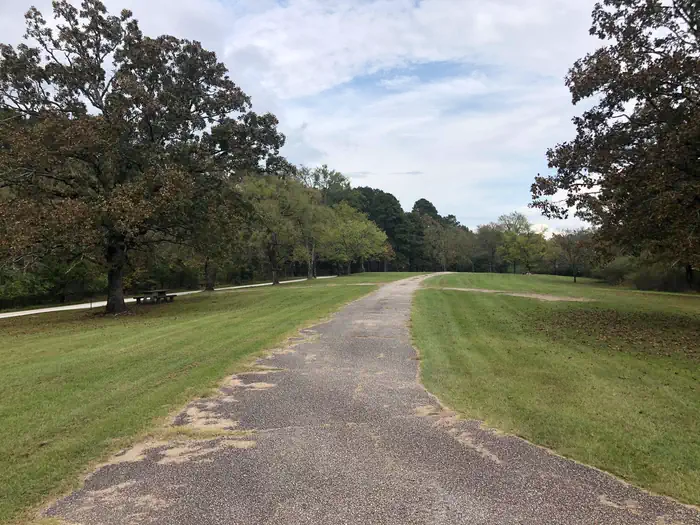
Reads strongest on shade and reservability. Softest on roomy sites.
Six axes, each scored relative to every other federal campground in the region: quiet (miles to a major road), cool (elevation), roomy (average site spacing), shade, RV-fit (longest rig), and how reservable it is. All six come from data, nothing hand-tuned.
62 mapped sites · dot color = seclusion · click a dot for details. Basemap © OpenStreetMap.
We synthesize public data layers: RIDB and Recreation.gov facility and site records, Open-Meteo climate normals, OpenStreetMap roads, trails, and water, OSRM drive times, and USGS elevation. We take no bookings, no ads, and no paid placements. Independence is the entire point.