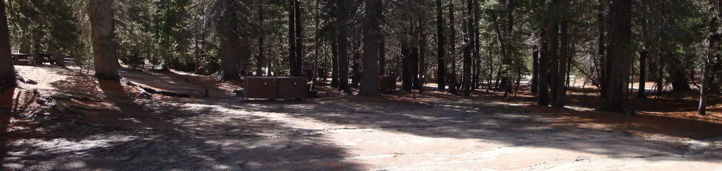
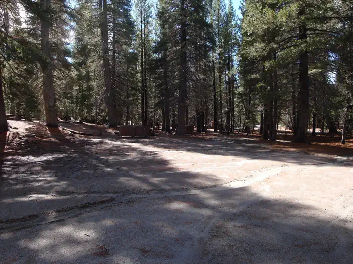
Overview Pumice Flat Group Camp is located in the Red's Meadows and Devils Postpile section of the eastern Sierra Nevada Mountains, just west of the full-service community of Mammoth Lakes, California
Sites4all reservable
Elev.7,677ft
Comf.Jun-Oct5 months
Max rig40 ft
Electricnonesites
From Fresno2h08real road time
The honest read
Synthesized from RIDB · Open-Meteo OSM · OSRM Updated 2026-05-27
At 7,677 ft, Pumice Flat Group Camp has a 5-month comfortable window (Jun-Oct). Winter nights average around 21°F, so the shoulder seasons turn cold fast. All 4 sites are reservable in advance, so plan ahead. Popular weekends book out. Within about 4 miles: 24 named hiking routes, 3 peaks, lake or river access.
The campground at a glance
01 · CHARACTER
Reads strongest on shade and reservability. Softest on roomy sites.
Six axes, each scored relative to every other federal campground in the region: quiet (miles to a major road), cool (elevation), roomy (average site spacing), shade, RV-fit (longest rig), and how reservable it is. All six come from data, nothing hand-tuned.
When to go
02 · CLIMATE
avg highavg lowfrost-freedriest · Jul
Jun-Oct
Comfortable window: nights stay above 35°F, days below 90°F.
94%
Of summer weekend-days are dry.
Jun 14
Last spring frost; first fall frost Oct 9.
51°F
Average July low. Bring a fleece.
Getting there
03 · ACCESS
01
Fresno
96 mi
2h08
02
Sacramento
191 mi
4h15
03
San Francisco
238 mi
5h17
04
Los Angeles
328 mi
7h17
05
San Diego
465 mi
10h20
By drive time
Routed road time (OSRM). Nearest major highway 5 mi away.
We synthesize public data layers: RIDB and Recreation.gov facility and site records, Open-Meteo climate normals, OpenStreetMap roads, trails, and water, OSRM drive times, and USGS elevation. We take no bookings, no ads, and no paid placements. Independence is the entire point.