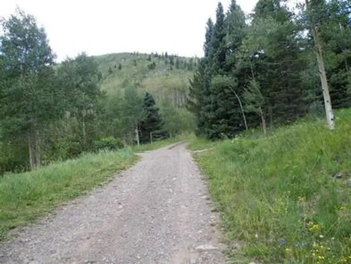
Overview Purgatoire Campground is nestled near the headwaters of the Purgatoire River in the beautiful Culebra Range of the Sangre de Cristo Mountains.
Sites2313 reservable
Elev.9,724ft
Comf.Jun-Sep4 months
Max rig45 ft
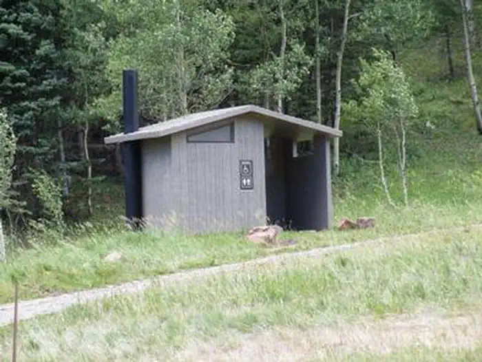
Electricnonesites
From Colorado Springs3h52real road time
The honest read
Synthesized from RIDB · Open-Meteo OSM · OSRM Updated 2026-05-27
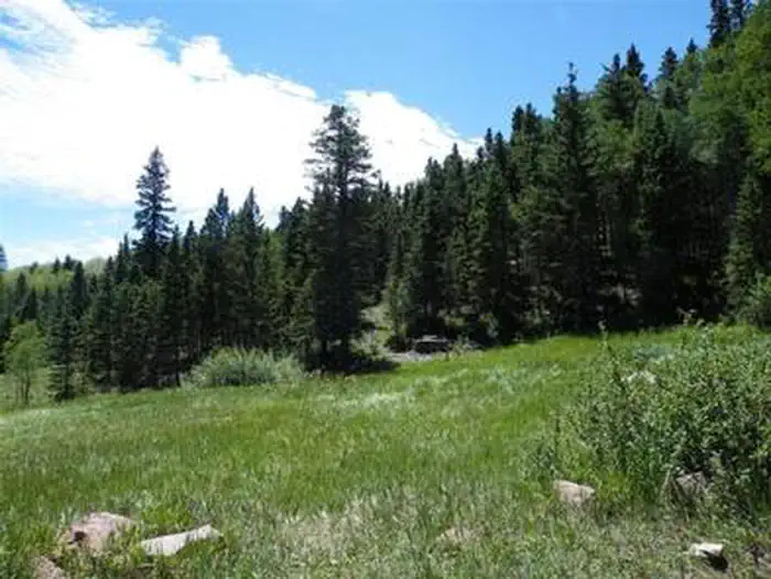
At 9,724 ft, Purgatoire Campground has a 4-month comfortable window (Jun-Sep). Winter nights average around 13°F, so the shoulder seasons turn cold fast. 23 sites total: 13 reservable and 10 first-come, first-served. Within about 4 miles: 5 peaks, lake or river access.
The campground at a glance
01 · CHARACTER
Reads strongest on cool nights and reservability. Softest on roomy sites.
Six axes, each scored relative to every other federal campground in the region: quiet (miles to a major road), cool (elevation), roomy (average site spacing), shade, RV-fit (longest rig), and how reservable it is. All six come from data, nothing hand-tuned.
When to go
02 · CLIMATE
avg highavg lowfrost-freedriest · Nov
Jun-Sep
Comfortable window: nights stay above 35°F, days below 90°F.
52%
Of summer weekend-days are dry.
Jun 6
Last spring frost; first fall frost Sep 27.
48°F
Average July low. Bring a fleece.
Getting there
03 · ACCESS
01
Colorado Springs
170 mi
3h52
02
Denver
239 mi
5h08
03
Fort Collins
303 mi
6h17
04
Grand Junction
375 mi
8h55
By drive time
Routed road time (OSRM). Nearest major highway 3.5 mi away.
We synthesize public data layers: RIDB and Recreation.gov facility and site records, Open-Meteo climate normals, OpenStreetMap roads, trails, and water, OSRM drive times, and USGS elevation. We take no bookings, no ads, and no paid placements. Independence is the entire point.