Overview Los Alamos Campground is located 90 minutes from Los Angeles, offering a restful experience without the lengthy travel time.
Sites9693 reservable
Elev.2,575ft
Comf.Jan-Dec10 months
Max rig35 ft12 pull-thru
Electricnonesites
From Los Angeles1h28real road time
The honest read
Synthesized from RIDB · Open-Meteo OSM · OSRM Updated 2026-05-27
At 2,575 ft, Pyramid Lake - Los Alamos Campground has a 10-month comfortable window (Jan-Dec). Winter nights average around 39°F, so the shoulder seasons turn cold fast. 96 sites total: 93 reservable and 3 first-come, first-served. Of the sites, 12 pull-through, and the longest takes a 35-ft rig. Within about 4 miles: 5 peaks, lake or river access.
What campers say
SYNTHESIZED · MODERATE SIGNAL
Access
01 / 05
Easy I-5 pull-off from LA, but the freeway is part of the soundtrack.
Campers consistently flag highway noise, worst in the lower loop closest to I-5. Upper loops (3, 4, 5) are noticeably quieter and a few people say crickets drown out the traffic at night.
Weather
02 / 05
Limited shade and afternoon wind make summer days rough.
The most common complaint across sites is sparse tree cover after past fires, with people bringing pop-up canopies or extra water to cope. Wind picks up in the afternoon and evening, which some campers appreciate for keeping flies down.
Water
03 / 05
Lake is 1.5 to 2 miles away, motorboat heavy, separate day-use fee.
Pyramid Lake is not walk-to from the sites and requires a paid day-use entry. Reviewers describe it as a boater's lake with wakeboard and jet ski traffic rather than a quiet swimming spot, and swimming is restricted in places due to algae.
Facilities
04 / 05
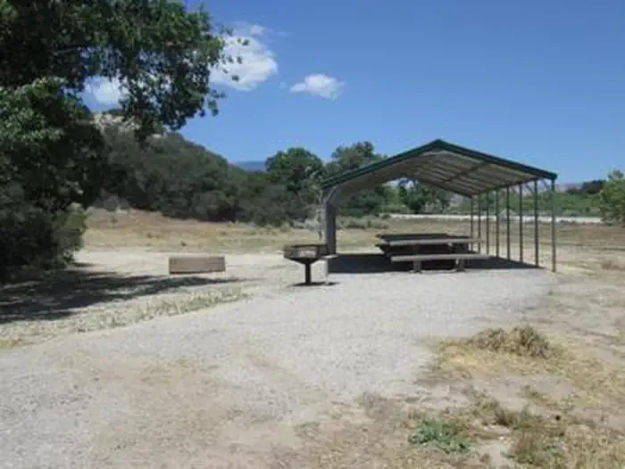
Clean flush toilets, potable water, dump station, no showers.
Restroom cleanliness gets repeat praise and there is a small camp store plus horseshoe and volleyball areas. No showers on site is the standard caveat, and some parking aprons are gravel rather than paved.
Wildlife & sky
05 / 05
Coyotes at night, ants and biting flies by day, occasional rattlesnakes.
Multiple campers mention hearing coyotes after dark and recommend leashing pets. Red ants and flies come up often at individual sites, and rattlesnake sightings are reported occasionally enough to watch where you step.
Synthesized from public trip reports and forum discussion, summarized in our words and never quoted. This is durable sentiment, not a live feed.
The campground at a glance
01 · CHARACTER
Reads strongest on reservability and shade. Softest on roomy sites.
Six axes, each scored relative to every other federal campground in the region: quiet (miles to a major road), cool (elevation), roomy (average site spacing), shade, RV-fit (longest rig), and how reservable it is. All six come from data, nothing hand-tuned.
When to go
02 · CLIMATE
avg highavg lowfrost-freedriest · Jul
Jan-Dec
Comfortable window: nights stay above 35°F, days below 90°F.
99%
Of summer weekend-days are dry.
Mar 14
Last spring frost; first fall frost Dec 13.
64°F
Average July low. Bring a fleece.
Getting there
03 · ACCESS
01
Los Angeles
66 mi
1h28
02
Fresno
202 mi
4h29
03
San Diego
211 mi
4h41
04
San Francisco
386 mi
8h35
05
Sacramento
404 mi
8h59
By drive time
Routed road time (OSRM). Nearest major highway 0.7 mi away.
We synthesize public data layers: RIDB and Recreation.gov facility and site records, Open-Meteo climate normals, OpenStreetMap roads, trails, and water, OSRM drive times, and USGS elevation. We take no bookings, no ads, and no paid placements. Independence is the entire point.