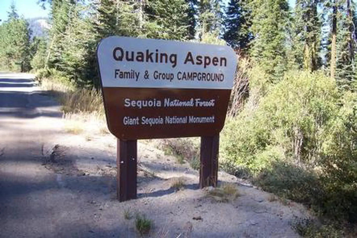
Overview Quaking Aspen Campground is situated in the Giant Sequoia National Monument near numerous distinctive sequoia groves, including McIntyre Grove and Freeman Creek Grove, at an elevation of 7,00
Sites3934 reservable
Elev.7,054ft
Comf.Jun-Sep4 months
Max rig35 ft
Electricnonesites
From Fresno2h21real road time
The honest read
Synthesized from RIDB · Open-Meteo OSM · OSRM Updated 2026-05-27
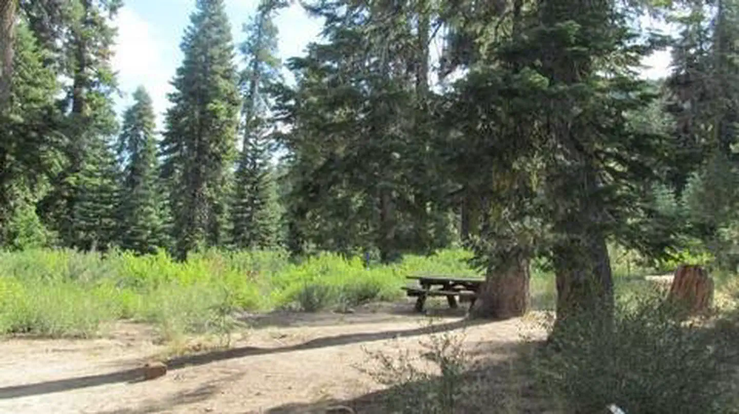
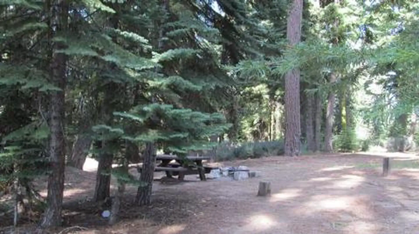
At 7,054 ft, Quaking Aspen has a 4-month comfortable window (Jun-Sep). Winter nights average around 18°F, so the shoulder seasons turn cold fast. 39 sites total: 34 reservable and 5 first-come, first-served. Within about 4 miles: 2 named hiking routes, 10 peaks, lake or river access.
The campground at a glance
01 · CHARACTER
Reads strongest on shade and reservability. Softest on roomy sites.
Six axes, each scored relative to every other federal campground in the region: quiet (miles to a major road), cool (elevation), roomy (average site spacing), shade, RV-fit (longest rig), and how reservable it is. All six come from data, nothing hand-tuned.
When to go
02 · CLIMATE
avg highavg lowfrost-freedriest · Jul
Jun-Sep
Comfortable window: nights stay above 35°F, days below 90°F.
We synthesize public data layers: RIDB and Recreation.gov facility and site records, Open-Meteo climate normals, OpenStreetMap roads, trails, and water, OSRM drive times, and USGS elevation. We take no bookings, no ads, and no paid placements. Independence is the entire point.