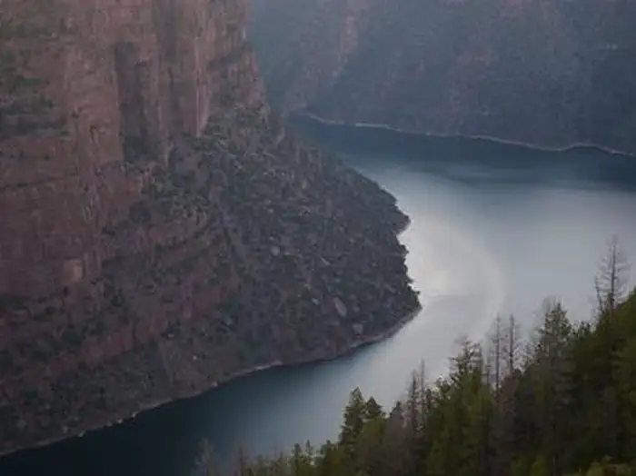
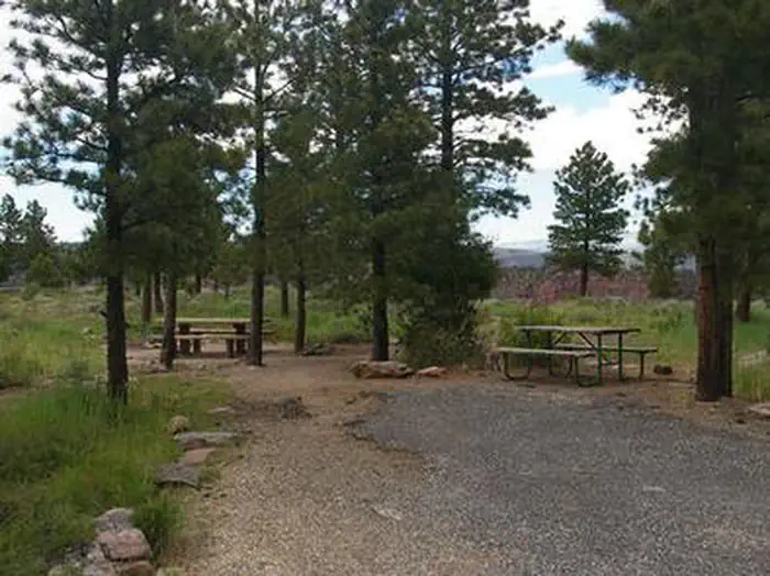
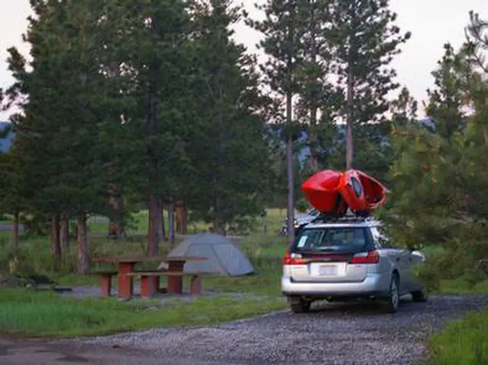
Overview Red Canyon Campground is located in a grassy meadow high above Flaming Gorge Reservoir in northeastern Utah along Red Canyon Road at an elevation of 7,400 feet.
Sites85 reservable
Elev.7,415ft
Comf.Jun-Sep4 months
Max rig40 ft
Electricnonesites
From Salt Lake City4h09real road time
The honest read
Synthesized from RIDB · Open-Meteo OSM · OSRM Updated 2026-05-27
At 7,415 ft, Red Canyon (Ashley National Forest) has a 4-month comfortable window (Jun-Sep). Winter nights average around 11°F, so the shoulder seasons turn cold fast. 8 sites total: 5 reservable and 3 first-come, first-served. Within about 4 miles: 1 peak, lake or river access.
The campground at a glance
01 · CHARACTER
Reads strongest on shade and cool nights. Softest on roomy sites.
Six axes, each scored relative to every other federal campground in the region: quiet (miles to a major road), cool (elevation), roomy (average site spacing), shade, RV-fit (longest rig), and how reservable it is. All six come from data, nothing hand-tuned.
When to go
02 · CLIMATE
avg highavg lowfrost-freedriest · Jul
Jun-Sep
Comfortable window: nights stay above 35°F, days below 90°F.
89%
Of summer weekend-days are dry.
Jun 2
Last spring frost; first fall frost Sep 30.
55°F
Average July low. Bring a fleece.
Getting there
03 · ACCESS
01
Salt Lake City
195 mi
4h09
02
Moab
268 mi
5h43
03
St. George
443 mi
8h23
By drive time
Routed road time (OSRM). Nearest major highway 2.1 mi away.
We synthesize public data layers: RIDB and Recreation.gov facility and site records, Open-Meteo climate normals, OpenStreetMap roads, trails, and water, OSRM drive times, and USGS elevation. We take no bookings, no ads, and no paid placements. Independence is the entire point.