Overview Salthouse Branch Campground is nestled on the shores of Philpott Lake in the rugged foothills of Virginia's Blue Ridge Mountains.
Sites11188 reservable
Elev.1,007ft
Comf.Mar-Nov9 months
Max rig90 ft27 pull-thru
Electric4418×50-amp
From Roanoke1h10real road time
The honest read
Synthesized from RIDB · Open-Meteo OSM · OSRM Updated 2026-05-27
At 1,007 ft, Salthouse Branch has a 9-month comfortable window (Mar-Nov). Winter nights average around 31°F, so the shoulder seasons turn cold fast. 111 sites total: 88 reservable and 23 first-come, first-served. Of the sites, 27 pull-through, 18 with 50-amp, and the longest takes a 90-ft rig. Within about 4 miles: 1 peak, lake or river access.
What campers say
SYNTHESIZED · MODERATE SIGNAL
Water
01 / 05
Philpott Lake is the draw, clean and clear for paddling and fishing.
Campers describe unusually clear, green water with two boat ramps and swim areas, and easy kayak launching from the sites. Anglers target bass, walleye, crappie, and catfish.
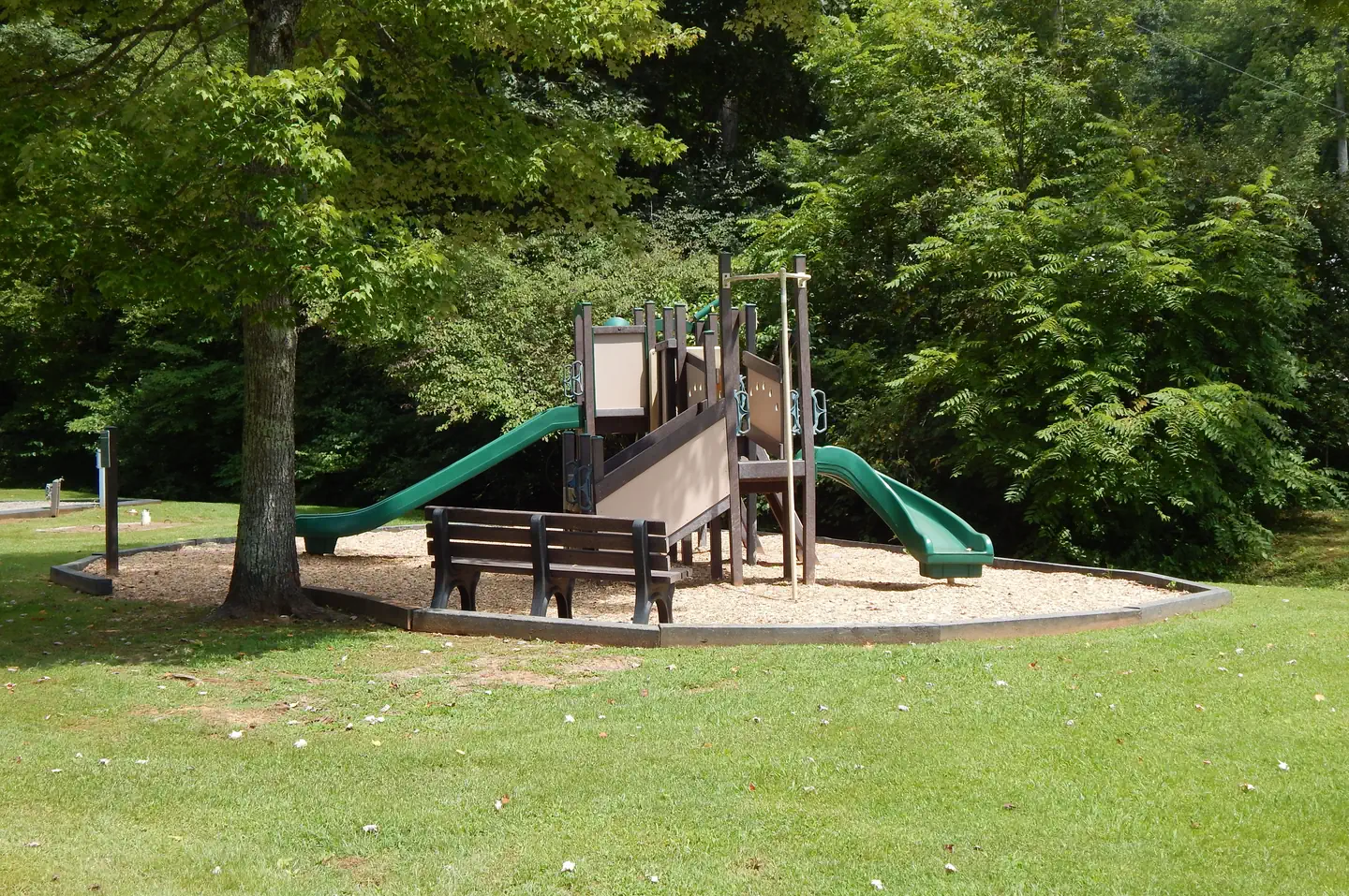
Sites
02 / 05
The hillside tent area beats the tight RV loop.
The lower RV loop is gridded and close together and hard for rigs over about 35 feet. The tents-only hillside is leveled, spaced, and wooded, with the tradeoff of a longer uphill walk to the restrooms.
Facilities
03 / 05
Clean bathhouses and friendly staff, but no sewer.
Three bathhouses are cleaned daily and the staff get good marks. Sites have electric and water but no sewer, and the dump station is awkward for big rigs. It is cheap, around $14 a night with the federal pass.
Access
04 / 05
A quiet cove, reached by a narrow twisty road.
It feels peaceful and off the beaten path. The approach is a narrow, steep, winding county road that several campers warn against for large rigs, and cell service is weak.
Vibe
05 / 05
Quiet or crowded depending on where you book.
The tight RV loop can feel busy with neighbors and dogs, while the tent hillside and the waterfront feel private and calm.
Synthesized from public trip reports and forum discussion, summarized in our words and never quoted. This is durable sentiment, not a live feed.
The campground at a glance
01 · CHARACTER
Reads strongest on reservability and shade. Softest on roomy sites.
Six axes, each scored relative to every other federal campground in the region: quiet (miles to a major road), cool (elevation), roomy (average site spacing), shade, RV-fit (longest rig), and how reservable it is. All six come from data, nothing hand-tuned.
When to go
02 · CLIMATE
avg highavg lowfrost-freedriest · Jul
Mar-Nov
Comfortable window: nights stay above 35°F, days below 90°F.
77%
Of summer weekend-days are dry.
Mar 25
Last spring frost; first fall frost Nov 12.
68°F
Average July low.
Getting there
03 · ACCESS
01
Roanoke
43 mi
1h10
02
Richmond
189 mi
4h24
03
Washington DC
282 mi
5h41
04
Norfolk
241 mi
5h41
By drive time
Routed road time (OSRM). Nearest major highway 3.5 mi away.
We synthesize public data layers: RIDB and Recreation.gov facility and site records, Open-Meteo climate normals, OpenStreetMap roads, trails, and water, OSRM drive times, and USGS elevation. We take no bookings, no ads, and no paid placements. Independence is the entire point.