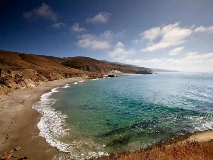
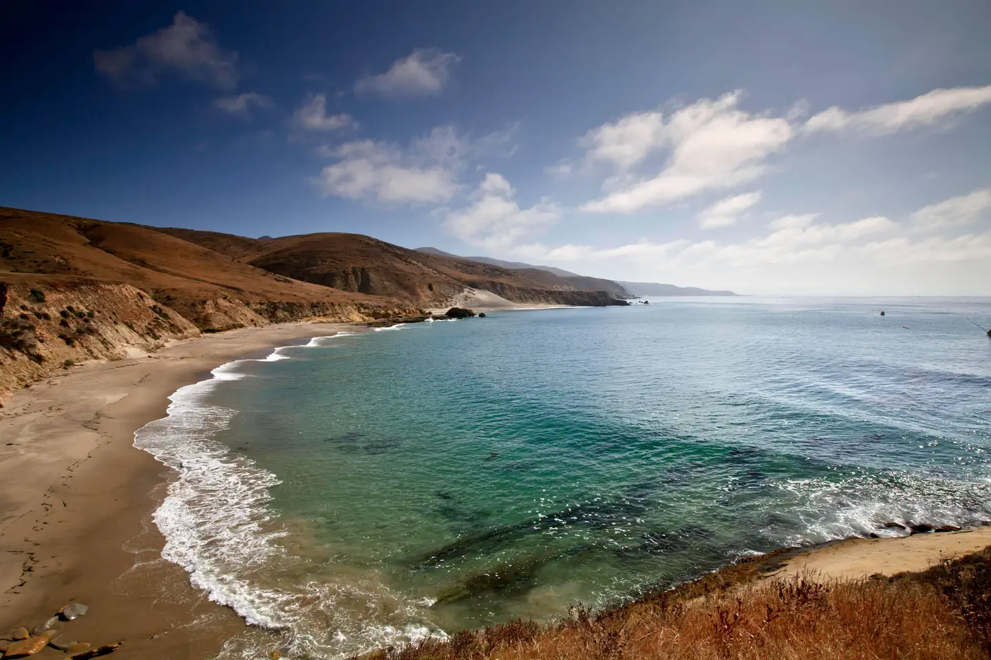
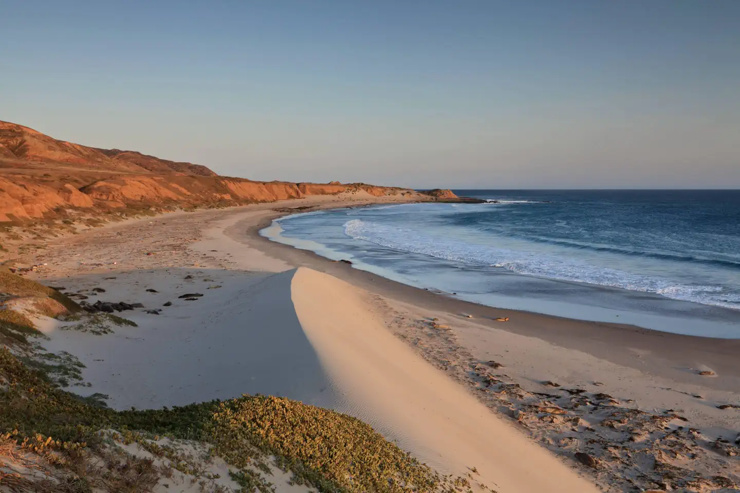
Overview Backcountry beach camping is available mid-August through December along Santa Rosa Island's extensive, beautiful, and undeveloped 55-mile coastline.
Sites33all reservable
Elev.1,004ft
Comf.Jan-Dec12 months
Max rigtents
Electricnonesites
From Los Angeles3h04real road time
The honest read
Synthesized from RIDB · Open-Meteo OSM · OSRM Updated 2026-05-27
At 1,004 ft, Santa Rosa Island Backcountry Beach Camping has a 12-month comfortable window (Jan-Dec). Winter nights average around 49°F, so the shoulder seasons turn cold fast. All 33 sites are reservable in advance, so plan ahead. Popular weekends book out. Of the sites, 33 walk-in. Within about 4 miles: 4 peaks.
The campground at a glance
01 · CHARACTER
Reads strongest on reservability and cool nights. Softest on shade.
Six axes, each scored relative to every other federal campground in the region: quiet (miles to a major road), cool (elevation), roomy (average site spacing), shade, RV-fit (longest rig), and how reservable it is. All six come from data, nothing hand-tuned.
When to go
02 · CLIMATE
avg highavg lowfrost-freedriest · Jun
Jan-Dec
Comfortable window: nights stay above 35°F, days below 90°F.
We synthesize public data layers: RIDB and Recreation.gov facility and site records, Open-Meteo climate normals, OpenStreetMap roads, trails, and water, OSRM drive times, and USGS elevation. We take no bookings, no ads, and no paid placements. Independence is the entire point.