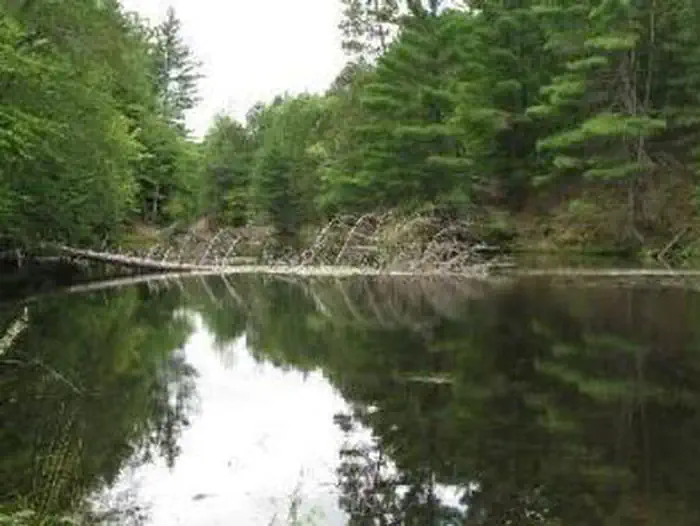
Overview Seaton Creek Campground adjoins Seaton Creek and is at the upper end of the backwater of Hodenpyl Dam Pond on the Big Manistee River.
Sites192 reservable
Elev.922ft
Comf.May-Oct6 months
Max rigtents13 pull-thru
Electricnonesites
From Traverse City1h02real road time
The honest read
Synthesized from RIDB · Open-Meteo OSM · OSRM Updated 2026-05-27
At 922 ft, Seaton Creek Campground has a 6-month comfortable window (May-Oct). Winter nights average around 18°F, so the shoulder seasons turn cold fast. 19 sites total: 2 reservable and 17 first-come, first-served. Of the sites, 13 pull-through, 2 walk-in. Within about 4 miles: 1 named hiking route, 1 peak, lake or river access.
The campground at a glance
01 · CHARACTER
Reads strongest on quiet and shade. Softest on cool nights.
Six axes, each scored relative to every other federal campground in the region: quiet (miles to a major road), cool (elevation), roomy (average site spacing), shade, RV-fit (longest rig), and how reservable it is. All six come from data, nothing hand-tuned.
When to go
02 · CLIMATE
avg highavg lowfrost-freedriest · Jan
May-Oct
Comfortable window: nights stay above 35°F, days below 90°F.
79%
Of summer weekend-days are dry.
May 4
Last spring frost; first fall frost Oct 31.
61°F
Average July low.
Getting there
03 · ACCESS
01
Traverse City
36 mi
1h02
02
Grand Rapids
121 mi
2h25
03
Detroit
234 mi
4h39
04
Marquette
313 mi
6h35
By drive time
Routed road time (OSRM). Nearest major highway 2.2 mi away.
Picking your site
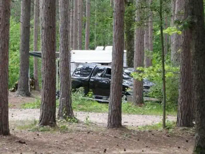
04 · 19 SITES
13
Pull-thru
2
Walk-in
0
50-amp
0
Accessible
0
Prime
19
Sites
★ The standout
Site 15
SEATON CREEK CAMPGROUND · good location · pull-through.
Location
Good
Type
Pull-thru
What's within four miles
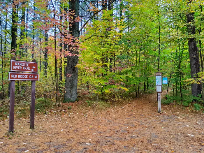
05 · TRAILS · PEAKS · WATER
Trails & Peaks
Named hiking routes
1
Trail segments
58
Peaks
1
Viewpoints
10
Water & Access
Lake / river access
yes
To nearest major road
2.2 mi
Method
We synthesize public data layers: RIDB and Recreation.gov facility and site records, Open-Meteo climate normals, OpenStreetMap roads, trails, and water, OSRM drive times, and USGS elevation. We take no bookings, no ads, and no paid placements. Independence is the entire point.