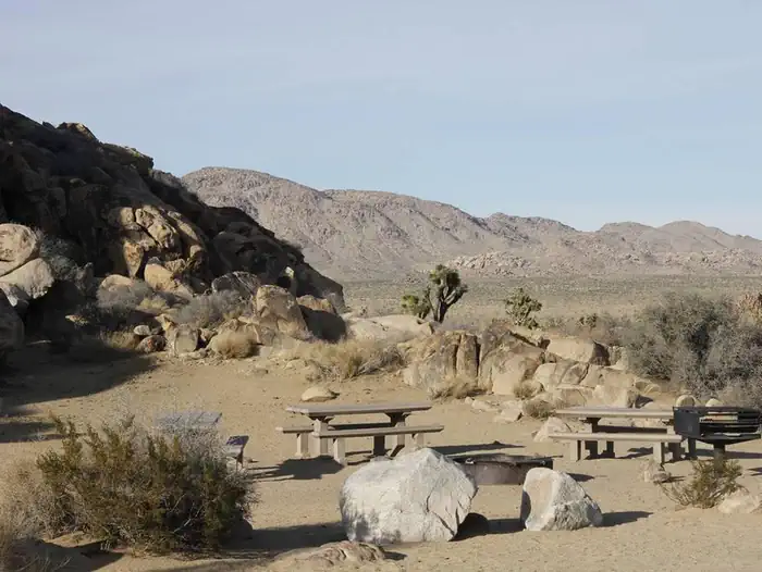
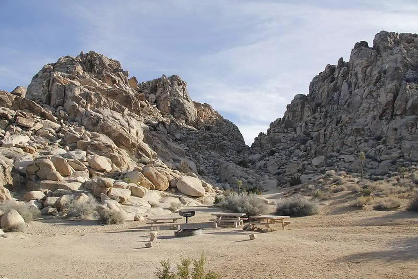
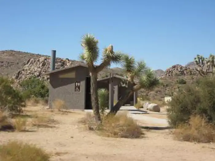
Overview Download the NPS app prior to visiting the park – trail maps and more! Sheep Pass Group Campground is centrally located within Joshua Tree National Park in Southern California and is easily a
Sites6all reservable
Elev.4,514ft
Comf.Jan-Dec11 months
Max rigtents
Electricnonesites
From San Diego3h05real road time
The honest read
Synthesized from RIDB · Open-Meteo OSM · OSRM Updated 2026-05-27
At 4,514 ft, Sheep Pass Group has a 11-month comfortable window (Jan-Dec). Winter nights average around 39°F, so the shoulder seasons turn cold fast. All 6 sites are reservable in advance, so plan ahead. Popular weekends book out. Within about 4 miles: 4 named hiking routes, 14 peaks, lake or river access.
The campground at a glance
01 · CHARACTER
Reads strongest on reservability and quiet. Softest on shade.
Six axes, each scored relative to every other federal campground in the region: quiet (miles to a major road), cool (elevation), roomy (average site spacing), shade, RV-fit (longest rig), and how reservable it is. All six come from data, nothing hand-tuned.
When to go
02 · CLIMATE
avg highavg lowfrost-freedriest · May
Jan-Dec
Comfortable window: nights stay above 35°F, days below 90°F.
93%
Of summer weekend-days are dry.
Mar 16
Last spring frost; first fall frost Dec 1.
74°F
Average July low. Bring a fleece.
Getting there
03 · ACCESS
01
San Diego
139 mi
3h05
02
Los Angeles
158 mi
3h31
03
Fresno
364 mi
8h05
04
Sacramento
566 mi
12h35
05
San Francisco
570 mi
12h40
By drive time
Routed road time (OSRM). Nearest major highway 9.4 mi away.
We synthesize public data layers: RIDB and Recreation.gov facility and site records, Open-Meteo climate normals, OpenStreetMap roads, trails, and water, OSRM drive times, and USGS elevation. We take no bookings, no ads, and no paid placements. Independence is the entire point.