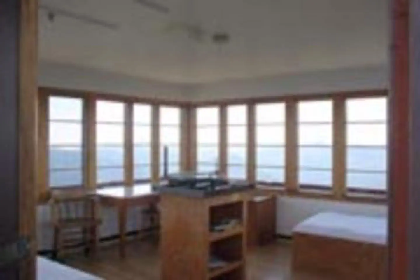
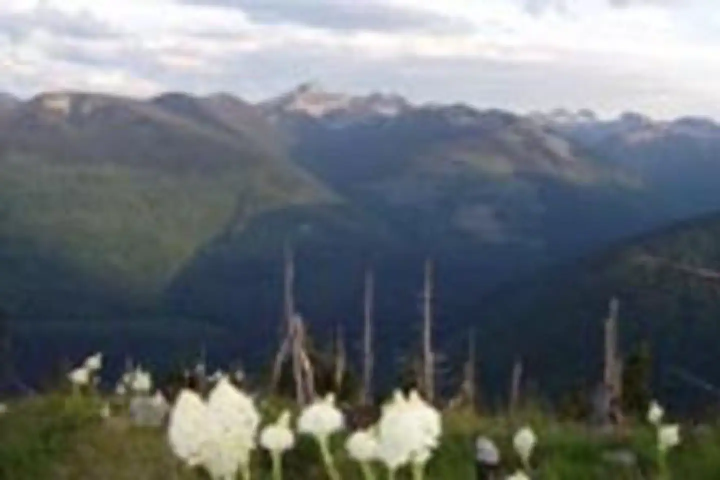
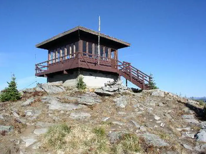
Overview Shorty Peak Lookout, 45 miles northwest of Bonners Ferry, sits atop Shorty Peak with views of the Selkirk and Purcell mountain ranges of Northern Idaho, Montana, and British Columbia.
Sites1all reservable
Elev.6,401ft
Comf.Jun-Sep4 months
Max rigtents
Electricnonesites
From Coeur d'Alene4h11real road time
The honest read
Synthesized from RIDB · Open-Meteo OSM · OSRM Updated 2026-05-27
At 6,401 ft, Shorty Peak Lookout has a 4-month comfortable window (Jun-Sep). Winter nights average around 14°F, so the shoulder seasons turn cold fast. All 1 sites are reservable in advance, so plan ahead. Popular weekends book out. Within about 4 miles: 5 peaks, lake or river access.
The campground at a glance
01 · CHARACTER
Reads strongest on reservability and quiet. Softest on shade.
Six axes, each scored relative to every other federal campground in the region: quiet (miles to a major road), cool (elevation), roomy (average site spacing), shade, RV-fit (longest rig), and how reservable it is. All six come from data, nothing hand-tuned.
When to go
02 · CLIMATE
avg highavg lowfrost-freedriest · Jul
Jun-Sep
Comfortable window: nights stay above 35°F, days below 90°F.
85%
Of summer weekend-days are dry.
Jun 19
Last spring frost; first fall frost Sep 13.
46°F
Average July low. Bring a fleece.
Getting there
03 · ACCESS
01
Coeur d'Alene
117 mi
4h11
02
Idaho Falls
594 mi
12h00
03
Boise
494 mi
12h20
By drive time
Routed road time (OSRM). Nearest major highway 9.4 mi away.
Picking your site
04 · 1 SITES
0
Pull-thru
0
Walk-in
0
50-amp
0
Accessible
0
Prime
1
Sites
What's within four miles
05 · TRAILS · PEAKS · WATER
Trails & Peaks
Trail segments
5
Peaks
5
Water & Access
Lake / river access
yes
To nearest major road
9.4 mi
Method
We synthesize public data layers: RIDB and Recreation.gov facility and site records, Open-Meteo climate normals, OpenStreetMap roads, trails, and water, OSRM drive times, and USGS elevation. We take no bookings, no ads, and no paid placements. Independence is the entire point.