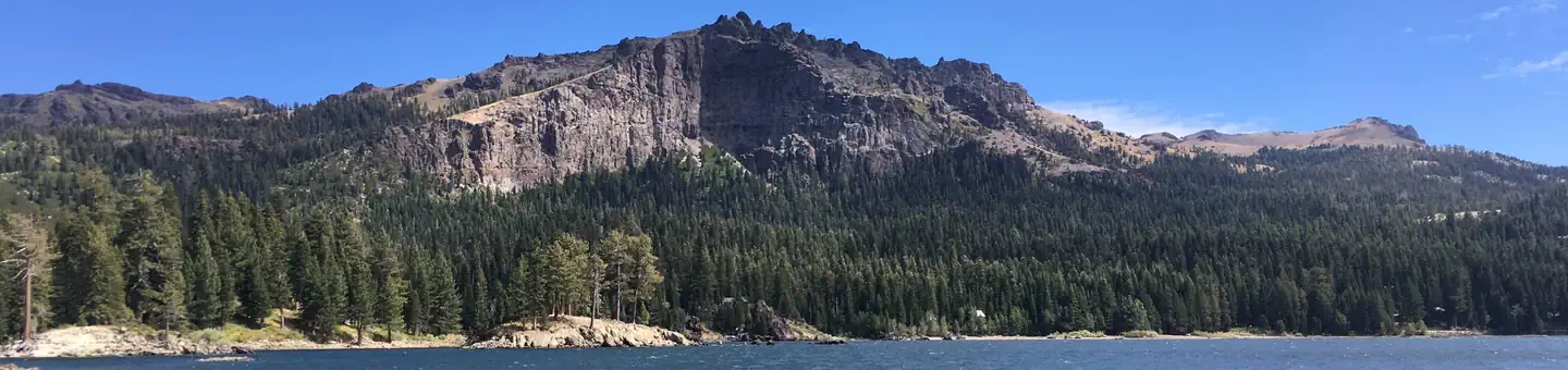
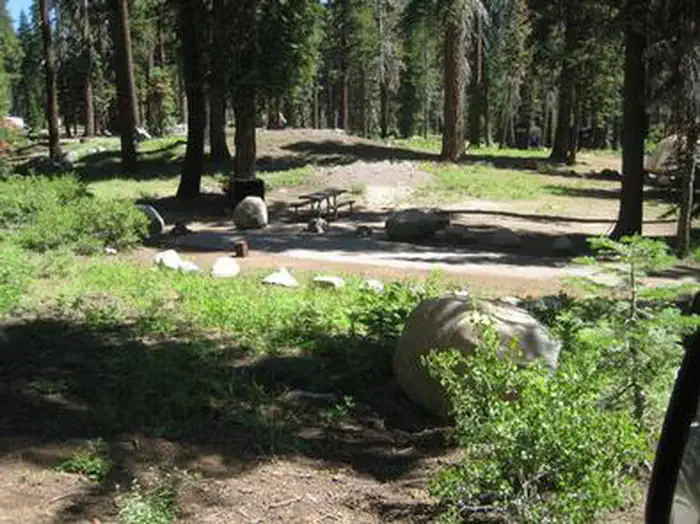
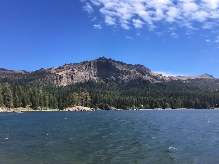
Overview Silver Lake East is located 50 miles east of Jackson, California, just a short distance from the shores of Silver lake, where activities like boating, fishing, swimming and hiking, provide ca
Sites6636 reservable
Elev.8,153ft
Comf.Jun-Sep4 months
Max rig55 ft
Electricnonesites
From Sacramento2h31real road time
The honest read
Synthesized from RIDB · Open-Meteo OSM · OSRM Updated 2026-05-27
At 8,153 ft, Silver Lake East- Eldorado has a 4-month comfortable window (Jun-Sep). Winter nights average around 19°F, so the shoulder seasons turn cold fast. 66 sites total: 36 reservable and 30 first-come, first-served. Within about 4 miles: 1 named hiking route, 4 peaks, lake or river access.
The campground at a glance
01 · CHARACTER
Reads strongest on cool nights and shade. Softest on roomy sites.
Six axes, each scored relative to every other federal campground in the region: quiet (miles to a major road), cool (elevation), roomy (average site spacing), shade, RV-fit (longest rig), and how reservable it is. All six come from data, nothing hand-tuned.
When to go
02 · CLIMATE
avg highavg lowfrost-freedriest · Jul
Jun-Sep
Comfortable window: nights stay above 35°F, days below 90°F.
93%
Of summer weekend-days are dry.
Jun 15
Last spring frost; first fall frost Sep 28.
49°F
Average July low. Bring a fleece.
Getting there
03 · ACCESS
01
Sacramento
113 mi
2h31
02
Fresno
174 mi
3h52
03
San Francisco
196 mi
4h21
04
Los Angeles
432 mi
9h36
05
San Diego
571 mi
12h41
By drive time
Routed road time (OSRM). Nearest major highway 4.4 mi away.
We synthesize public data layers: RIDB and Recreation.gov facility and site records, Open-Meteo climate normals, OpenStreetMap roads, trails, and water, OSRM drive times, and USGS elevation. We take no bookings, no ads, and no paid placements. Independence is the entire point.