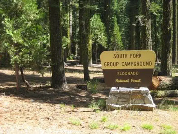
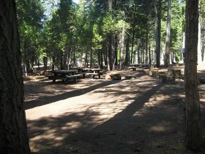
Overview South Fork is the largest group campground in the Crystal Basin Recreation Area, nestled in the vast expanse of the Eldorado National Forest.
Sites1all reservable
Elev.5,249ft
Comf.May-Oct6 months
Max rig50 ft
Electricnonesites
From Sacramento1h51real road time
The honest read
Synthesized from RIDB · Open-Meteo OSM · OSRM Updated 2026-05-27
At 5,249 ft, South Fork Group - Eldorado NF (CA) has a 6-month comfortable window (May-Oct). Winter nights average around 27°F, so the shoulder seasons turn cold fast. All 1 sites are reservable in advance, so plan ahead. Popular weekends book out. Within about 4 miles: 2 peaks, lake or river access.
The campground at a glance
01 · CHARACTER
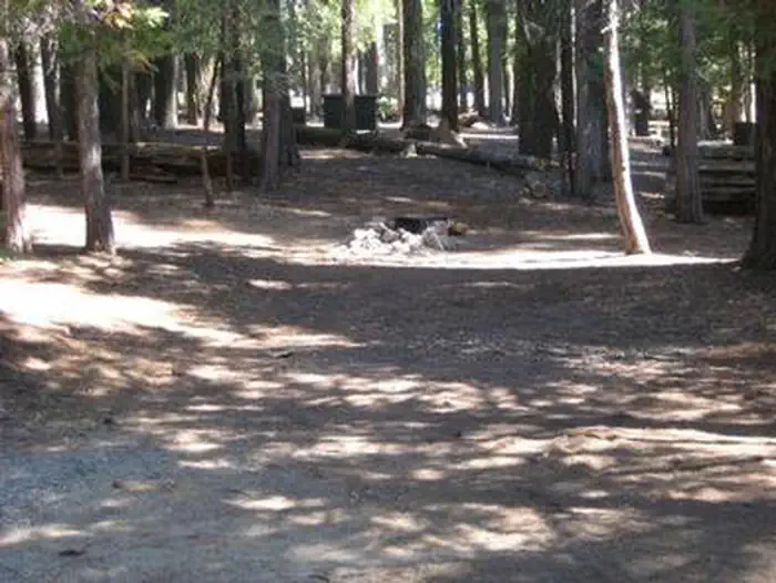
Reads strongest on shade and reservability. Softest on big-rig fit.
Six axes, each scored relative to every other federal campground in the region: quiet (miles to a major road), cool (elevation), roomy (average site spacing), shade, RV-fit (longest rig), and how reservable it is. All six come from data, nothing hand-tuned.
When to go
02 · CLIMATE
avg highavg lowfrost-freedriest · Jul
May-Oct
Comfortable window: nights stay above 35°F, days below 90°F.
92%
Of summer weekend-days are dry.
Jun 8
Last spring frost; first fall frost Oct 17.
56°F
Average July low. Bring a fleece.
Getting there
03 · ACCESS
01
Sacramento
83 mi
1h51
02
San Francisco
177 mi
3h56
03
Fresno
203 mi
4h31
04
Los Angeles
467 mi
10h23
05
San Diego
607 mi
13h29
By drive time
Routed road time (OSRM). Nearest major highway 11.9 mi away.
Picking your site
04 · 1 SITES
0
Pull-thru
0
Walk-in
0
50-amp
0
Accessible
0
Prime
1
Sites
What's within four miles
05 · TRAILS · PEAKS · WATER
Trails & Peaks
Trail segments
16
Peaks
2
Water & Access
Lake / river access
yes
To nearest major road
11.9 mi
Method
We synthesize public data layers: RIDB and Recreation.gov facility and site records, Open-Meteo climate normals, OpenStreetMap roads, trails, and water, OSRM drive times, and USGS elevation. We take no bookings, no ads, and no paid placements. Independence is the entire point.