Overview South Meadows Campground, located 5 miles north of Woodland Park, provides a scenic spot for campers to rest and enjoy the many recreational offerings of the area.
Sites6438 reservable
Elev.7,904ft
Comf.May-Sep5 months
Max rig84 ft10 pull-thru
Electricnonesites
From Colorado Springs0h40real road time
The honest read
Synthesized from RIDB · Open-Meteo OSM · OSRM Updated 2026-05-27
At 7,904 ft, South Meadows - Pike San Isabel NF (CO) has a 5-month comfortable window (May-Sep). Winter nights average around 13°F, so the shoulder seasons turn cold fast. 64 sites total: 38 reservable and 26 first-come, first-served. Of the sites, 10 pull-through, and the longest takes a 84-ft rig. Within about 4 miles: 2 peaks, lake or river access.
What campers say
SYNTHESIZED · MODERATE SIGNAL
Sites
01 / 05
Spacious sites under ponderosa pines with room between neighbors.
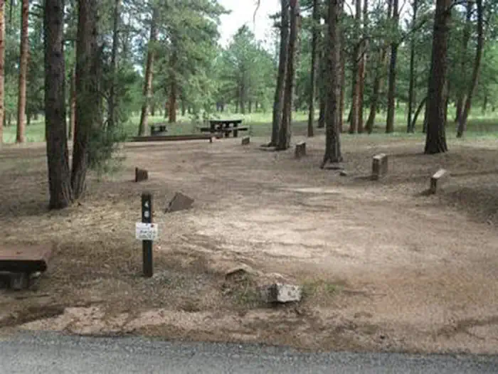
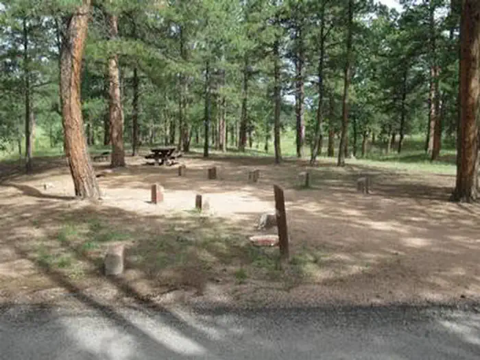
Campers consistently call out generous spacing and shade across most of the 64 sites, with the back loop sites that face open meadow drawing the strongest praise. A handful of interior sites feel more exposed and closer together.
Facilities
02 / 05
Vault toilets stay notably clean and paved interior roads make moving around easy.
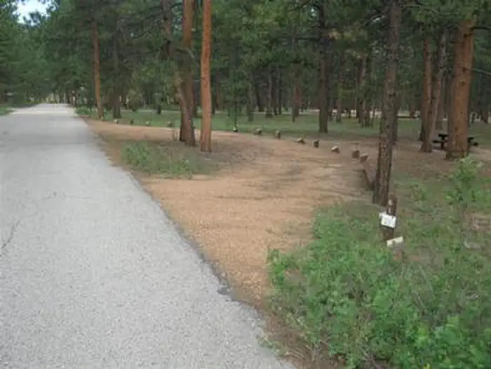
Reviews repeatedly single out the vault toilets as some of the cleanest people have seen at a national forest campground, and active hosts get credit for keeping the loops tidy. Paved roads through the campground also make it easy for kids on bikes and scooters.
Access
03 / 05
Five minutes to Woodland Park supplies, but Highway 67 noise carries into some sites.
The short drive to town for groceries and gas is a real plus, and the campground works well as a base for Pikes Peak and Garden of the Gods day trips. The tradeoff is road noise from Highway 67, including occasional truck engine brakes, which is more noticeable on the sites closer to the entrance.
Trails & access
04 / 05
Paved Centennial Trail leaves the campground and reaches Manitou Lake on foot or bike.
The 4.2 mile paved Centennial Trail starts at the campground and runs to Manitou Lake and Colorado Campground, which campers use for walks, easy rides, and getting kids to the water without driving. Fishing and kayaking at Manitou Lake come up often as the main on-foot activity.
Weather
05 / 05
Around 8,000 feet means cold nights, fast-moving storms, and patchy cell service.
Summer afternoons often bring thunderstorms with hail, and overnight temperatures can drop near freezing well into late spring. Cell coverage is inconsistent across carriers, with Verizon users in particular reporting little to no signal at the sites.
Synthesized from public trip reports and forum discussion, summarized in our words and never quoted. This is durable sentiment, not a live feed.
The campground at a glance
01 · CHARACTER
Reads strongest on shade and cool nights. Softest on roomy sites.
Six axes, each scored relative to every other federal campground in the region: quiet (miles to a major road), cool (elevation), roomy (average site spacing), shade, RV-fit (longest rig), and how reservable it is. All six come from data, nothing hand-tuned.
When to go
02 · CLIMATE
avg highavg lowfrost-freedriest · Nov
May-Sep
Comfortable window: nights stay above 35°F, days below 90°F.
63%
Of summer weekend-days are dry.
May 21
Last spring frost; first fall frost Oct 6.
56°F
Average July low. Bring a fleece.
Getting there
03 · ACCESS
01
Colorado Springs
25 mi
0h40
02
Denver
67 mi
1h47
03
Fort Collins
130 mi
2h57
04
Grand Junction
273 mi
5h33
By drive time
Routed road time (OSRM). Nearest major highway 5.2 mi away.
We synthesize public data layers: RIDB and Recreation.gov facility and site records, Open-Meteo climate normals, OpenStreetMap roads, trails, and water, OSRM drive times, and USGS elevation. We take no bookings, no ads, and no paid placements. Independence is the entire point.