Synthesized from RIDB · Open-Meteo OSM · OSRM Updated 2026-05-27
At 4,570 ft, St. Mary Campground has a 5-month comfortable window (May-Sep). Winter nights average around 19°F, so the shoulder seasons turn cold fast. 157 sites total: 141 reservable and 16 first-come, first-served. Of the sites, 136 pull-through, 9 walk-in, and the longest takes a 40-ft rig. Within about 4 miles: 4 peaks, lake or river access.
What campers say
SYNTHESIZED · RICH SIGNAL
Booking
01 / 06
Tight reservations in peak, then day-of only from mid-August through early September.
Summer slots vanish at the six-month booking window. From around August 17 through September 11 the campground shifts to same-day reservations only, so plan to refresh Recreation.gov early that morning or arrive in person.
Access
02 / 06
East entrance skips the timed-entry headache for Going-to-the-Sun Road.
Staying here puts you inside the park, so you do not need a vehicle reservation to drive Going-to-the-Sun Road from the east side. The St. Mary Visitor Center is roughly a half mile away and is the eastern shuttle hub for the road.
Weather
03 / 06
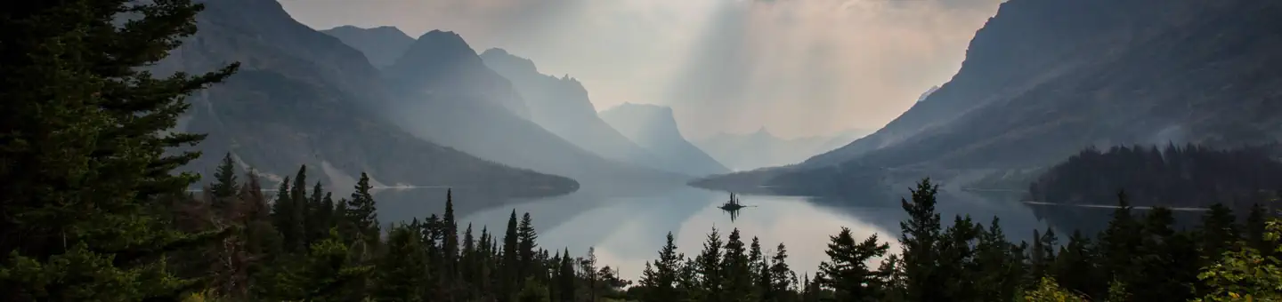
Wind off the prairie and St. Mary Lake is the defining nuisance.
Campers consistently report strong, sustained wind funneling down from the peaks across the open loops, with reports of bent poles and damaged tents. Stake everything down hard and expect cool nights even in July when the west side is warmer.
Sites
04 / 06
Loop A is the quiet tent pick; Loops B and C take generators and bigger rigs.
Loop A has more tree cover, more privacy, and bans generators, which tent campers single out as the calmer option. Loops B and C are more open with pull-throughs that suit RVs but lean exposed, and several reviewers mention uneven pads needing leveling blocks.
Wildlife & sky
05 / 06
Late summer berry crop can flip the campground to hard-sided only.
Grizzlies work the brush around the loops during hyperphagia, and the park has repeatedly closed St. Mary to soft-sided tents in late August and September when berries ripen. Bear boxes are shared between clusters of sites and rangers actively enforce attractant storage.
Facilities
06 / 06
Flush toilets are solid; showers are scarce and unreliable.
Bathrooms get praised as clean and well kept, but only three or four showers serve the whole campground and they have been closed for construction or end-of-season more than once without much warning. There are no hookups, though a dump station and water spigots are on site.
Synthesized from public trip reports and forum discussion, summarized in our words and never quoted. This is durable sentiment, not a live feed.
The campground at a glance
01 · CHARACTER
Reads strongest on reservability and cool nights. Softest on roomy sites.
Six axes, each scored relative to every other federal campground in the region: quiet (miles to a major road), cool (elevation), roomy (average site spacing), shade, RV-fit (longest rig), and how reservable it is. All six come from data, nothing hand-tuned.
When to go
02 · CLIMATE
avg highavg lowfrost-freedriest · Jul
May-Sep
Comfortable window: nights stay above 35°F, days below 90°F.
83%
Of summer weekend-days are dry.
May 18
Last spring frost; first fall frost Sep 26.
51°F
Average July low. Bring a fleece.
Getting there
03 · ACCESS
01
Helena
208 mi
4h16
02
Missoula
186 mi
4h50
03
Bozeman
303 mi
5h59
04
Billings
375 mi
7h14
By drive time
Routed road time (OSRM). Nearest major highway 0.9 mi away.
We synthesize public data layers: RIDB and Recreation.gov facility and site records, Open-Meteo climate normals, OpenStreetMap roads, trails, and water, OSRM drive times, and USGS elevation. We take no bookings, no ads, and no paid placements. Independence is the entire point.