USFSNational Forests in North Carolina · North Carolina
Standing Indian Campground
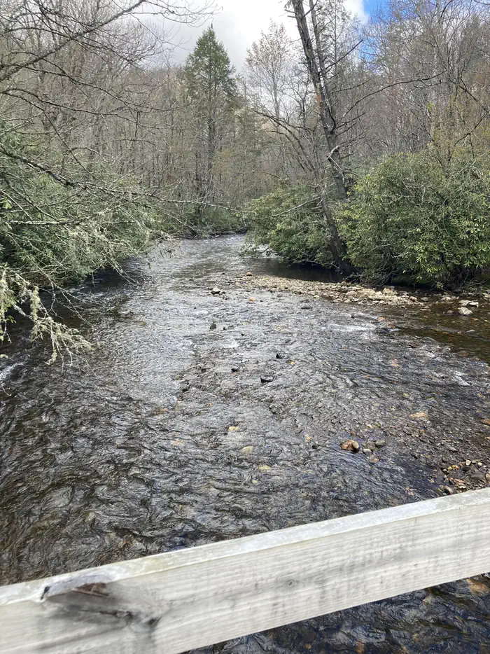
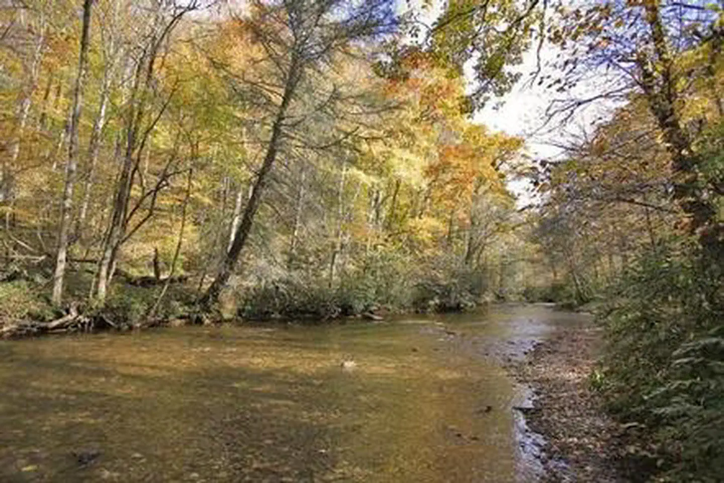
Overview Whether traveling with an RV or tent, Standing Indian Campground is a prime place to stop for a night or spend several days in the picturesque Nantahala National Forest.
Sites8135 reservable
Elev.3,428ft
Comf.Mar-Nov9 months
Max rig50 ft
Electricnonesites
From Asheville2h01real road time
The honest read
Synthesized from RIDB · Open-Meteo OSM · OSRM Updated 2026-05-27
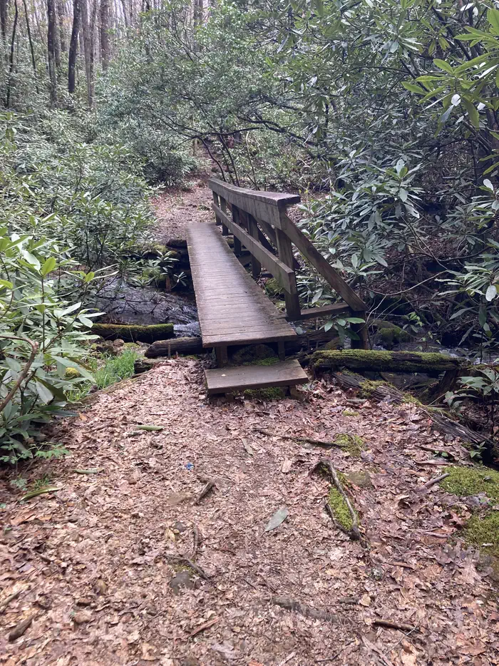
At 3,428 ft, Standing Indian Campground has a 9-month comfortable window (Mar-Nov). Winter nights average around 29°F, so the shoulder seasons turn cold fast. 81 sites total: 35 reservable and 46 first-come, first-served. Within about 4 miles: 1 named hiking route, 22 peaks, lake or river access.
The campground at a glance
01 · CHARACTER
Reads strongest on shade and reservability. Softest on roomy sites.
Six axes, each scored relative to every other federal campground in the region: quiet (miles to a major road), cool (elevation), roomy (average site spacing), shade, RV-fit (longest rig), and how reservable it is. All six come from data, nothing hand-tuned.
When to go
02 · CLIMATE
avg highavg lowfrost-freedriest · Sep
Mar-Nov
Comfortable window: nights stay above 35°F, days below 90°F.
55%
Of summer weekend-days are dry.
Apr 19
Last spring frost; first fall frost Nov 1.
63°F
Average July low. Bring a fleece.
Getting there
03 · ACCESS
01
Asheville
85 mi
2h01
02
Charlotte
199 mi
4h20
03
Raleigh
330 mi
6h46
By drive time
Routed road time (OSRM). Nearest major highway 1.8 mi away.
We synthesize public data layers: RIDB and Recreation.gov facility and site records, Open-Meteo climate normals, OpenStreetMap roads, trails, and water, OSRM drive times, and USGS elevation. We take no bookings, no ads, and no paid placements. Independence is the entire point.