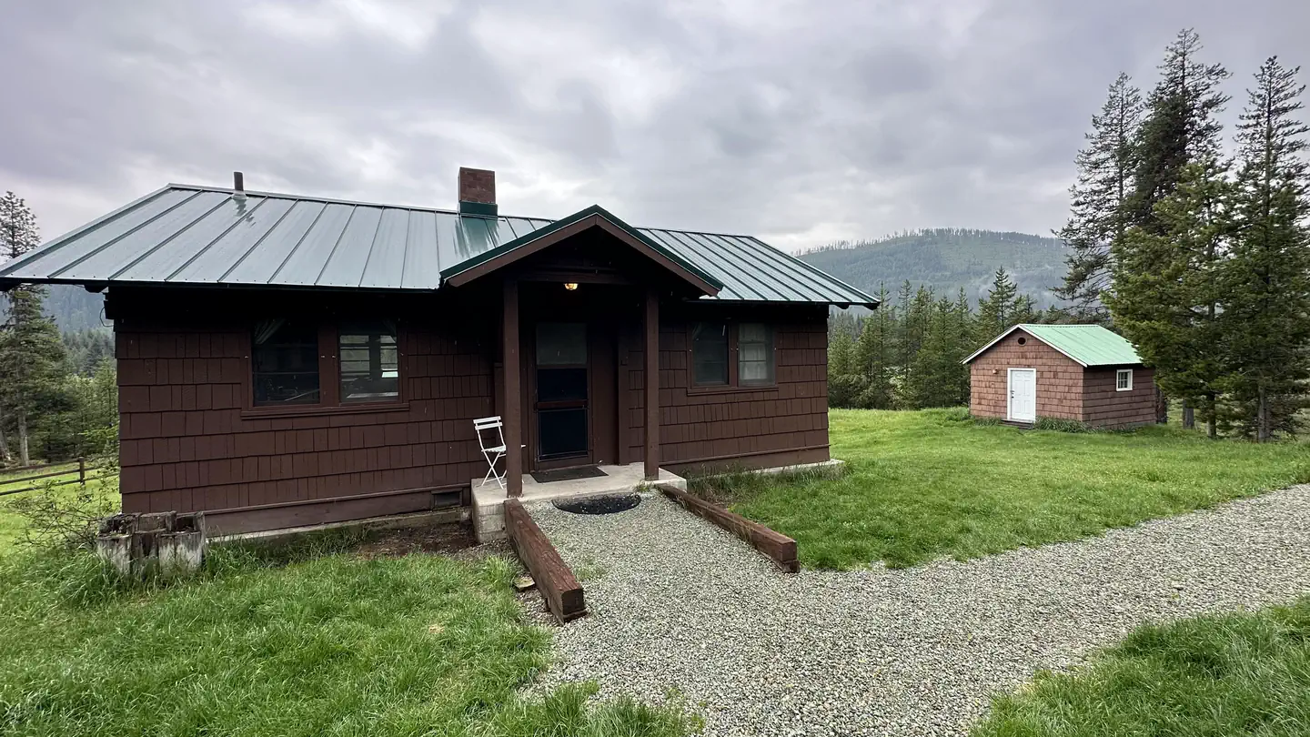
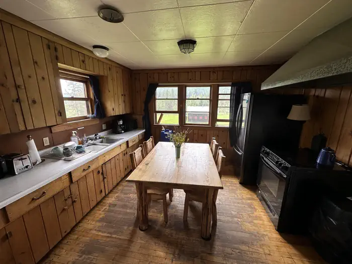
Overview The Star Meadows Guard Station has all the rustic feel of a remote Forest Service cabin while still being accessible by paved road from Whitefish.
Sites1all reservable
Elev.4,026ft
Comf.May-Sep5 months
Max rig20 ft
Electricnonesites
From Missoula3h37real road time
The honest read
Synthesized from RIDB · Open-Meteo OSM · OSRM Updated 2026-05-27
At 4,026 ft, Star Meadows Guard Station has a 5-month comfortable window (May-Sep). Winter nights average around 16°F, so the shoulder seasons turn cold fast. All 1 sites are reservable in advance, so plan ahead. Popular weekends book out. Within about 4 miles: 2 peaks.
The campground at a glance
01 · CHARACTER
Reads strongest on shade and reservability. Softest on big-rig fit.
Six axes, each scored relative to every other federal campground in the region: quiet (miles to a major road), cool (elevation), roomy (average site spacing), shade, RV-fit (longest rig), and how reservable it is. All six come from data, nothing hand-tuned.
When to go
02 · CLIMATE
avg highavg lowfrost-freedriest · Jul
May-Sep
Comfortable window: nights stay above 35°F, days below 90°F.
80%
Of summer weekend-days are dry.
May 17
Last spring frost; first fall frost Oct 12.
52°F
Average July low. Bring a fleece.
Getting there
03 · ACCESS
01
Missoula
155 mi
3h37
02
Helena
227 mi
4h47
03
Bozeman
343 mi
6h38
04
Billings
484 mi
8h59
By drive time
Routed road time (OSRM). Nearest major highway 11.2 mi away.
Picking your site
04 · 1 SITES
0
Pull-thru
0
Walk-in
0
50-amp
0
Accessible
0
Prime
1
Sites
What's within four miles
05 · TRAILS · PEAKS · WATER
Trails & Peaks
Peaks
2
Water & Access
To nearest major road
11.2 mi
Method
We synthesize public data layers: RIDB and Recreation.gov facility and site records, Open-Meteo climate normals, OpenStreetMap roads, trails, and water, OSRM drive times, and USGS elevation. We take no bookings, no ads, and no paid placements. Independence is the entire point.