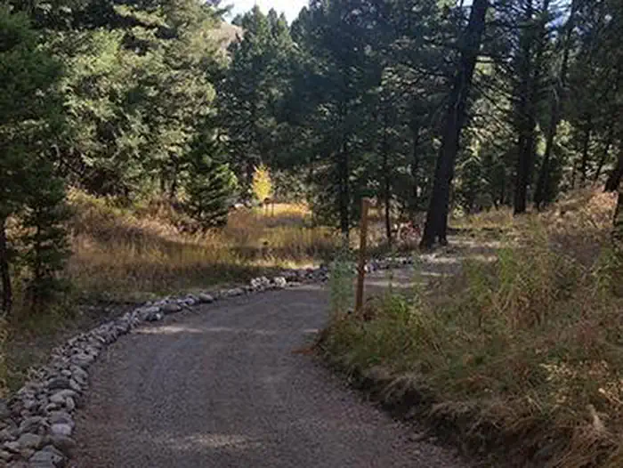
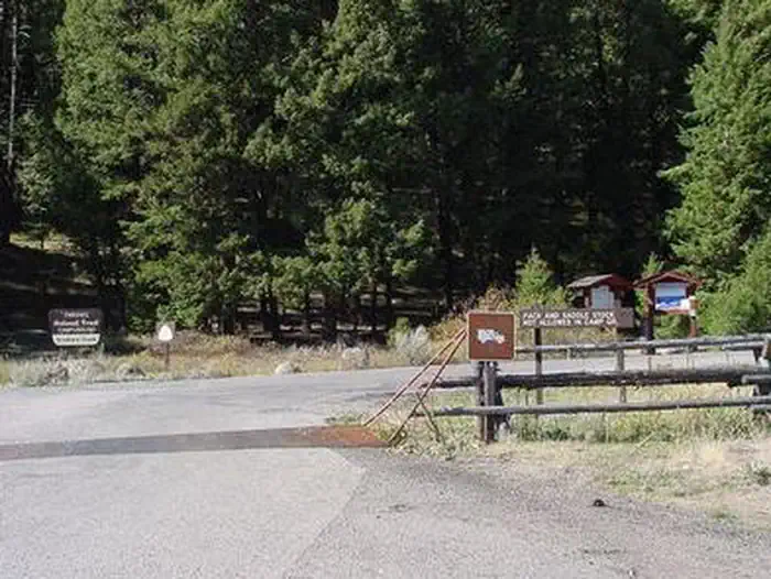
Overview Stoddard Creek Campground is located just 1 mile off I-15 and 17 miles north of the town of Dubois, Idaho.
Sites2114 reservable
Elev.6,325ft
Comf.May-Sep5 months
Max rig40 ft2 pull-thru
Electricnonesites
From Idaho Falls1h12real road time
The honest read
Synthesized from RIDB · Open-Meteo OSM · OSRM Updated 2026-05-27
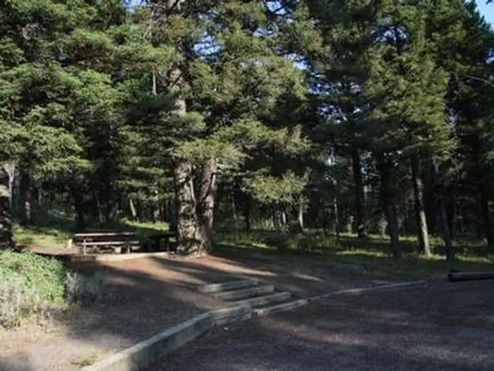
At 6,325 ft, Stoddard Creek Campground has a 5-month comfortable window (May-Sep). Winter nights average around 11°F, so the shoulder seasons turn cold fast. 21 sites total: 14 reservable and 7 first-come, first-served. Of the sites, 2 pull-through, and the longest takes a 40-ft rig. Within about 4 miles: 1 peak.
The campground at a glance
01 · CHARACTER
Reads strongest on shade and reservability. Softest on roomy sites.
Six axes, each scored relative to every other federal campground in the region: quiet (miles to a major road), cool (elevation), roomy (average site spacing), shade, RV-fit (longest rig), and how reservable it is. All six come from data, nothing hand-tuned.
When to go
02 · CLIMATE
avg highavg lowfrost-freedriest · Jul
May-Sep
Comfortable window: nights stay above 35°F, days below 90°F.
85%
Of summer weekend-days are dry.
Jun 7
Last spring frost; first fall frost Sep 30.
53°F
Average July low. Bring a fleece.
Getting there
03 · ACCESS
01
Idaho Falls
68 mi
1h12
02
Boise
347 mi
5h37
03
Coeur d'Alene
411 mi
6h51
By drive time
Routed road time (OSRM). Nearest major highway 0.7 mi away.
STODDARD CREEK CAMPGROUND · good location · pull-through · shaded.
To neighbor
147 ft
Location
Good
Type
Pull-thru
What's within four miles
05 · TRAILS · PEAKS · WATER
Trails & Peaks
Peaks
1
Water & Access
To nearest major road
0.7 mi
Method
We synthesize public data layers: RIDB and Recreation.gov facility and site records, Open-Meteo climate normals, OpenStreetMap roads, trails, and water, OSRM drive times, and USGS elevation. We take no bookings, no ads, and no paid placements. Independence is the entire point.