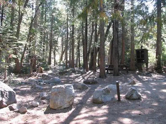
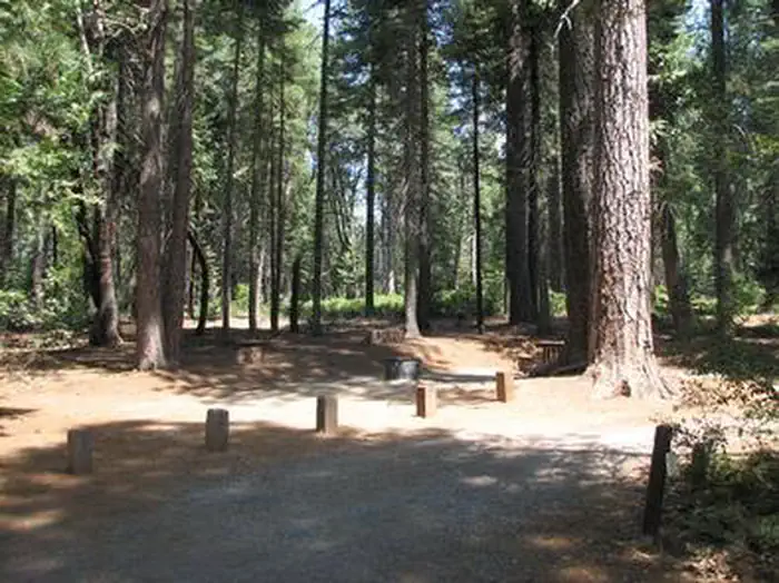
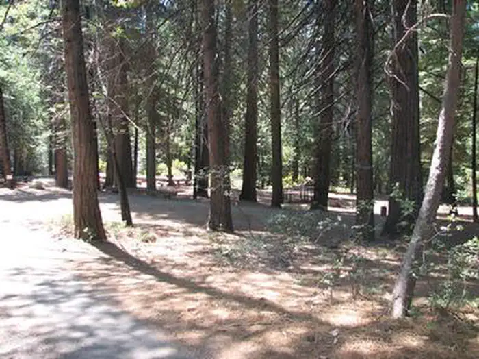
Overview Stumpy Meadows, on the Stumpy Meadows Reservoir, provides an enjoyable setting in a heavy conifer forest with easy access to an array of water activities.
Sites3929 reservable
Elev.4,498ft
Comf.May-Oct6 months
Max rig26 ft1 pull-thru
Electricnonesites
From Sacramento1h33real road time
The honest read
Synthesized from RIDB · Open-Meteo OSM · OSRM Updated 2026-05-27
At 4,498 ft, Stumpy Meadows has a 6-month comfortable window (May-Oct). Winter nights average around 30°F, so the shoulder seasons turn cold fast. 39 sites total: 29 reservable and 10 first-come, first-served. Of the sites, 1 pull-through, and the longest takes a 26-ft rig. Within about 4 miles: 2 peaks, lake or river access.
The campground at a glance
01 · CHARACTER
Reads strongest on shade and reservability. Softest on roomy sites.
Six axes, each scored relative to every other federal campground in the region: quiet (miles to a major road), cool (elevation), roomy (average site spacing), shade, RV-fit (longest rig), and how reservable it is. All six come from data, nothing hand-tuned.
When to go
02 · CLIMATE
avg highavg lowfrost-freedriest · Jul
May-Oct
Comfortable window: nights stay above 35°F, days below 90°F.
95%
Of summer weekend-days are dry.
May 14
Last spring frost; first fall frost Oct 21.
56°F
Average July low. Bring a fleece.
Getting there
03 · ACCESS
01
Sacramento
70 mi
1h33
02
San Francisco
164 mi
3h39
03
Fresno
203 mi
4h31
04
Los Angeles
468 mi
10h24
05
San Diego
609 mi
13h32
By drive time
Routed road time (OSRM). Nearest major highway 9.7 mi away.
We synthesize public data layers: RIDB and Recreation.gov facility and site records, Open-Meteo climate normals, OpenStreetMap roads, trails, and water, OSRM drive times, and USGS elevation. We take no bookings, no ads, and no paid placements. Independence is the entire point.