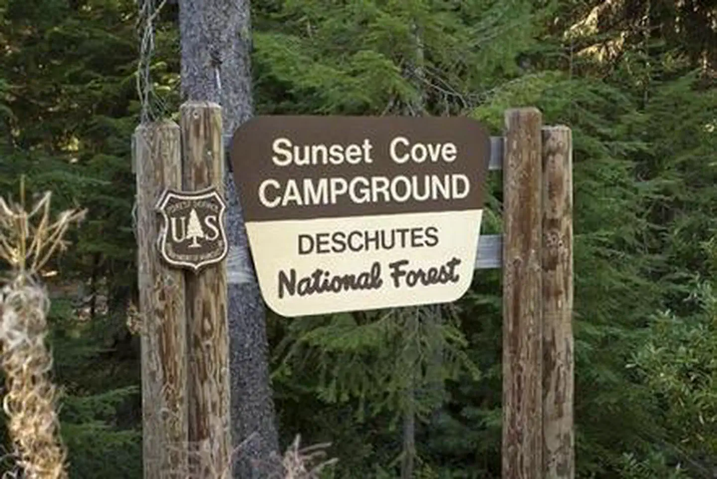
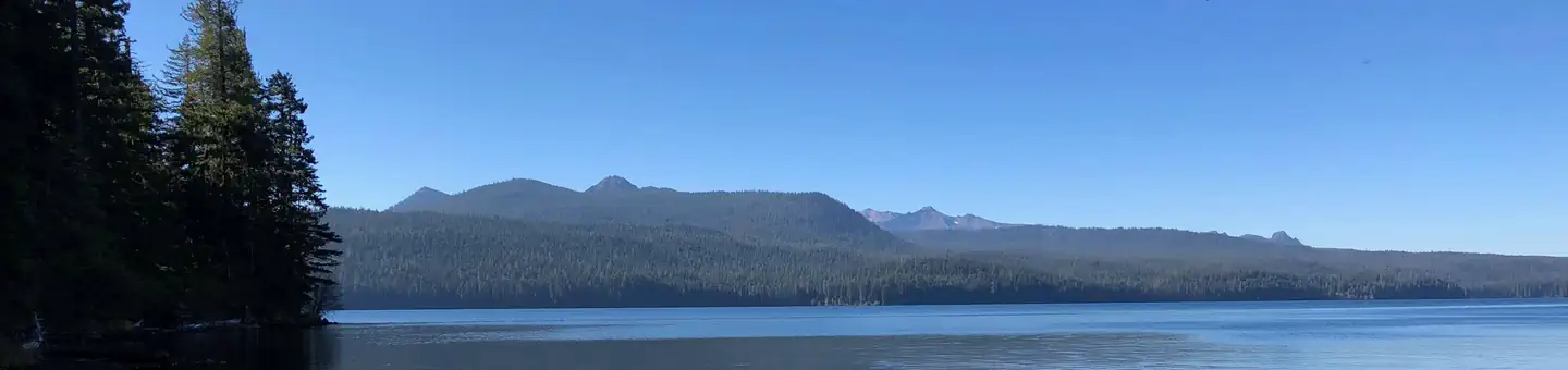
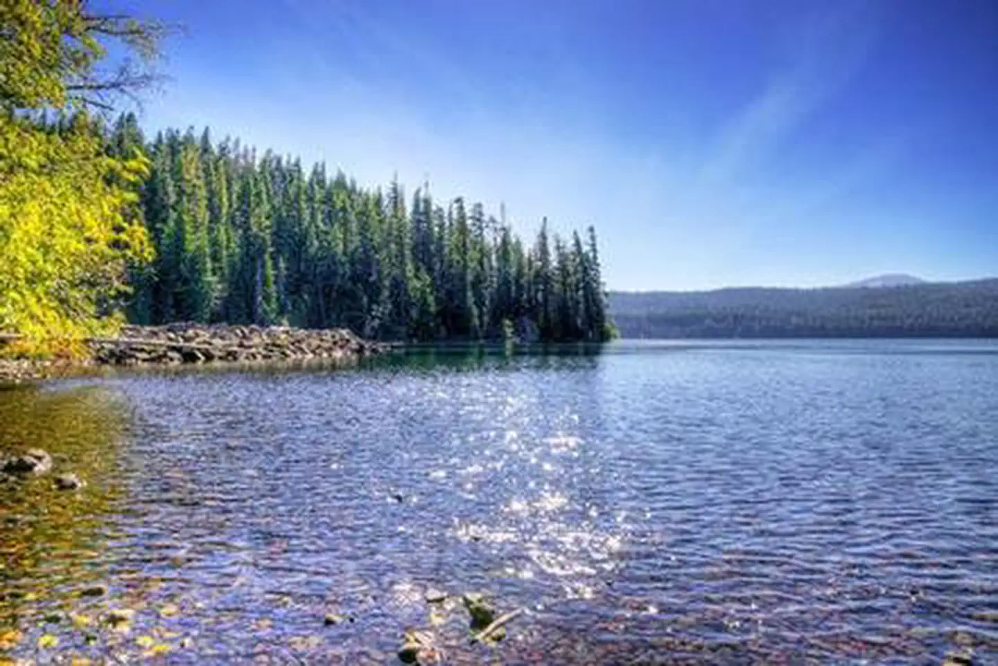
Overview Located next to Odell Lake, Sunset Cove Campground is in the midst of sparkling lakes, tranquil streams and nearby scenic peaks that provide visitors with the perfect backdrop for fishing, bo
Sites2117 reservable
Elev.4,885ft
Comf.May-Oct6 months
Max rig40 ft7 pull-thru
Electricnonesites
From Bend1h30real road time
The honest read
Synthesized from RIDB · Open-Meteo OSM · OSRM Updated 2026-05-27
At 4,885 ft, Sunset Cove Campground has a 6-month comfortable window (May-Oct). Winter nights average around 25°F, so the shoulder seasons turn cold fast. 21 sites total: 17 reservable and 4 first-come, first-served. Of the sites, 7 pull-through, and the longest takes a 40-ft rig. Within about 4 miles: 1 named hiking route, 3 peaks, lake or river access.
The campground at a glance
01 · CHARACTER
Reads strongest on shade and reservability. Softest on roomy sites.
Six axes, each scored relative to every other federal campground in the region: quiet (miles to a major road), cool (elevation), roomy (average site spacing), shade, RV-fit (longest rig), and how reservable it is. All six come from data, nothing hand-tuned.
When to go
02 · CLIMATE
avg highavg lowfrost-freedriest · Jul
May-Oct
Comfortable window: nights stay above 35°F, days below 90°F.
95%
Of summer weekend-days are dry.
Jun 5
Last spring frost; first fall frost Oct 15.
50°F
Average July low. Bring a fleece.
Getting there
03 · ACCESS
01
Bend
66 mi
1h30
02
Eugene
74 mi
1h47
03
Medford
136 mi
3h15
04
Portland
179 mi
3h52
By drive time
Routed road time (OSRM). Nearest major highway 0.1 mi away.
We synthesize public data layers: RIDB and Recreation.gov facility and site records, Open-Meteo climate normals, OpenStreetMap roads, trails, and water, OSRM drive times, and USGS elevation. We take no bookings, no ads, and no paid placements. Independence is the entire point.