Bureau of Land ManagementNorth Umpqua Wild and Scenic River · Oregon
Susan Creek Campground
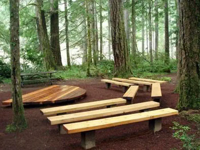
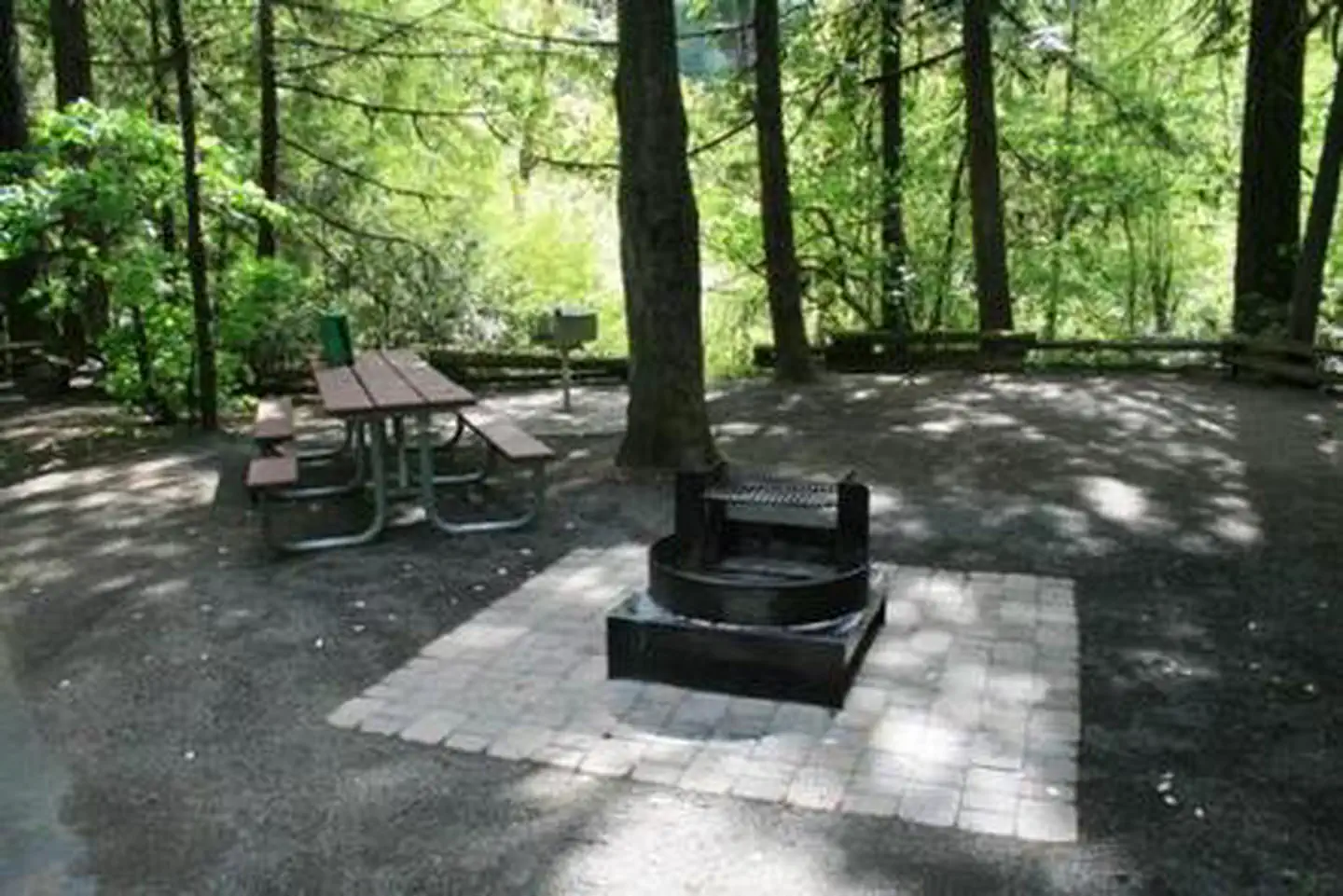
Overview Susan Creek Campground is well known for its beautiful setting along the emerald-green waters of the North Umpqua Wild and Scenic River.
Sites29all reservable
Elev.1,047ft
Comf.Jan-Dec10 months
Max rig96 ft
Electricnonesites
From Eugene2h11real road time
The honest read
Synthesized from RIDB · Open-Meteo OSM · OSRM Updated 2026-05-27
At 1,047 ft, Susan Creek Campground has a 10-month comfortable window (Jan-Dec). Winter nights average around 35°F, so the shoulder seasons turn cold fast. All 29 sites are reservable in advance, so plan ahead. Popular weekends book out. Within about 4 miles: 5 peaks, lake or river access.
The campground at a glance
01 · CHARACTER
Reads strongest on reservability and shade. Softest on roomy sites.
Six axes, each scored relative to every other federal campground in the region: quiet (miles to a major road), cool (elevation), roomy (average site spacing), shade, RV-fit (longest rig), and how reservable it is. All six come from data, nothing hand-tuned.
When to go
02 · CLIMATE
avg highavg lowfrost-freedriest · Jul
Jan-Dec
Comfortable window: nights stay above 35°F, days below 90°F.
90%
Of summer weekend-days are dry.
Apr 10
Last spring frost; first fall frost Oct 25.
57°F
Average July low.
Getting there
03 · ACCESS
01
Eugene
102 mi
2h11
02
Medford
126 mi
2h40
03
Bend
147 mi
3h22
04
Portland
207 mi
4h15
By drive time
Routed road time (OSRM). Nearest major highway 0.1 mi away.
We synthesize public data layers: RIDB and Recreation.gov facility and site records, Open-Meteo climate normals, OpenStreetMap roads, trails, and water, OSRM drive times, and USGS elevation. We take no bookings, no ads, and no paid placements. Independence is the entire point.