
Thompson Creek Campground
RIDB · Open-Meteo
OSM · OSRM
Updated 2026-05-27
At 7,310 ft, Thompson Creek Campground has a 4-month comfortable window (Jun-Sep). Winter nights average around 12°F, so the shoulder seasons turn cold fast. Within about 4 miles: 1 named hiking route, 1 peak, lake or river access.
The campground at a glance
Reads strongest on cool nights and quiet. Softest on quiet.
Six axes, each scored relative to every other federal campground in the region: quiet (miles to a major road), cool (elevation), roomy (average site spacing), shade, RV-fit (longest rig), and how reservable it is. All six come from data, nothing hand-tuned.
When to go
Getting there
Routed road time (OSRM). Nearest major highway 3.9 mi away.
What's within four miles
Trails & Peaks
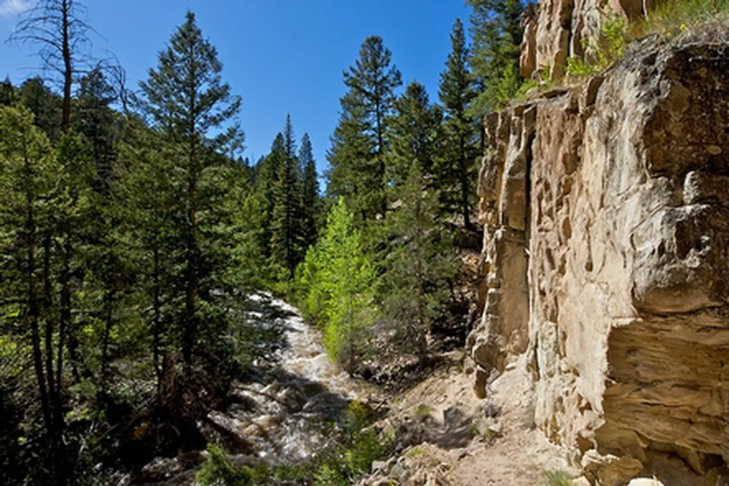
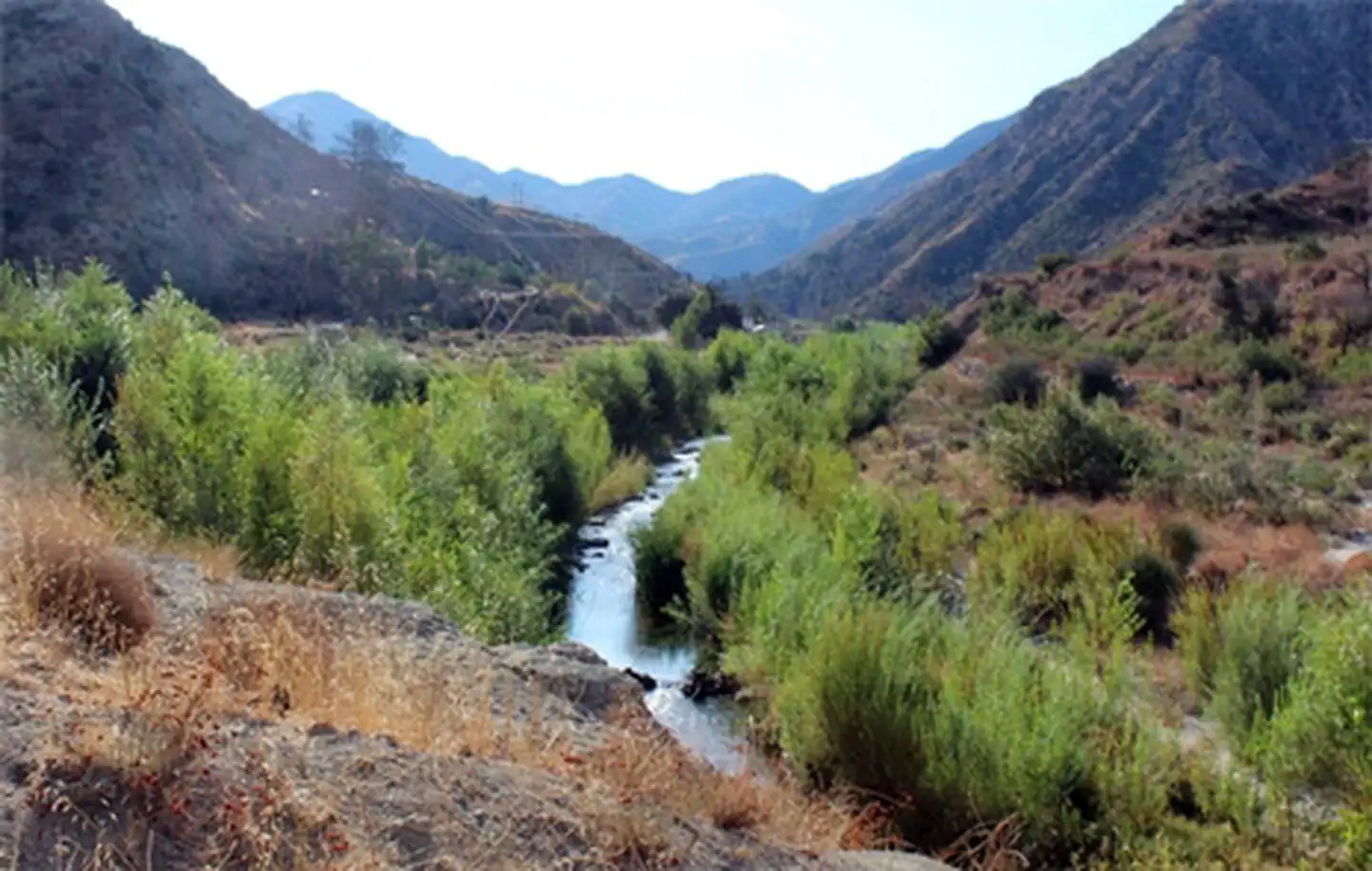
Water & Access
We synthesize public data layers: RIDB and Recreation.gov facility and site records, Open-Meteo climate normals, OpenStreetMap roads, trails, and water, OSRM drive times, and USGS elevation. We take no bookings, no ads, and no paid placements. Independence is the entire point.