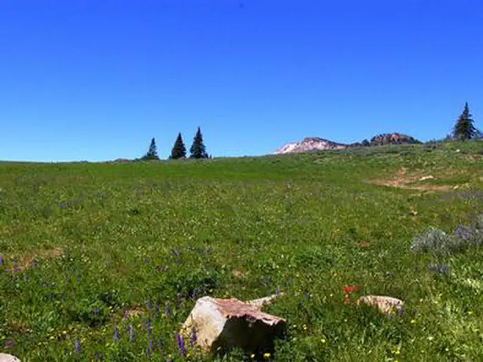
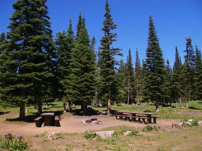
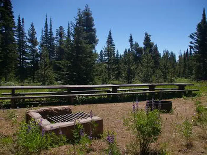
Overview Thompson Flat Campground is located high in the Albion Mountain Range of southern Idaho, near the towns of Declo and Albion.
Sites1311 reservable
Elev.8,064ft
Comf.Jun-Sep4 months
Max rig60 ft
Electricnonesites
From Idaho Falls2h45real road time
The honest read
Synthesized from RIDB · Open-Meteo OSM · OSRM Updated 2026-05-27
At 8,064 ft, Thompson Flat has a 4-month comfortable window (Jun-Sep). Winter nights average around 14°F, so the shoulder seasons turn cold fast. 13 sites total: 11 reservable and 2 first-come, first-served. Within about 4 miles: 3 peaks, lake or river access.
The campground at a glance
01 · CHARACTER
Reads strongest on shade and reservability. Softest on roomy sites.
Six axes, each scored relative to every other federal campground in the region: quiet (miles to a major road), cool (elevation), roomy (average site spacing), shade, RV-fit (longest rig), and how reservable it is. All six come from data, nothing hand-tuned.
When to go
02 · CLIMATE
avg highavg lowfrost-freedriest · Jul
Jun-Sep
Comfortable window: nights stay above 35°F, days below 90°F.
We synthesize public data layers: RIDB and Recreation.gov facility and site records, Open-Meteo climate normals, OpenStreetMap roads, trails, and water, OSRM drive times, and USGS elevation. We take no bookings, no ads, and no paid placements. Independence is the entire point.