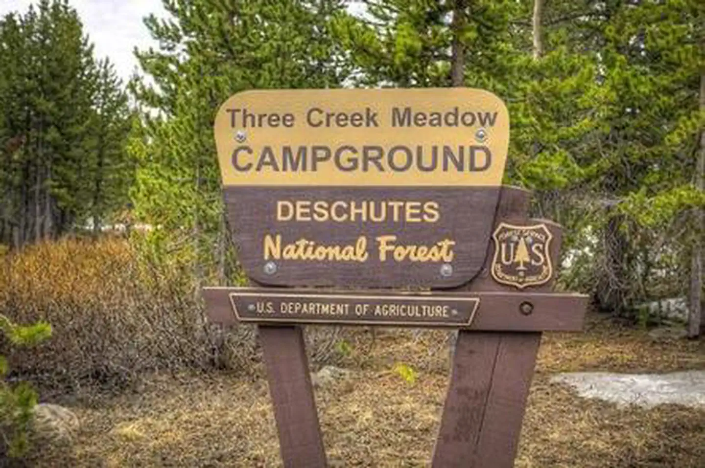
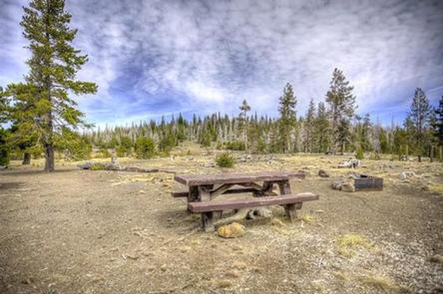
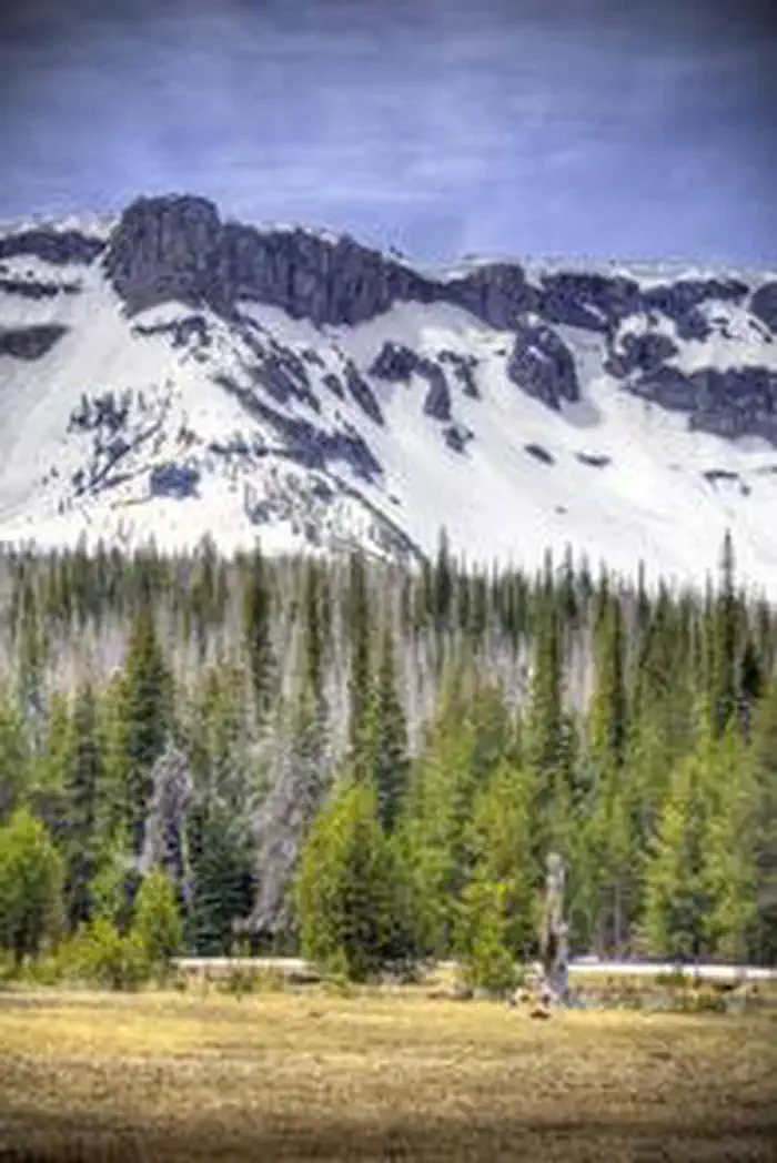
Overview Three Creeks Meadow Campground is one of four facilities located near Three Creeks Lake and provides campers with beautiful views of the water and surrounding nature.
Sites118 reservable
Elev.5,902ft
Comf.Jun-Oct5 months
Max rig50 ft
Electricnonesites
From Bend1h03real road time
The honest read
Synthesized from RIDB · Open-Meteo OSM · OSRM Updated 2026-05-27
At 5,902 ft, Three Creeks Meadow Campground has a 5-month comfortable window (Jun-Oct). Winter nights average around 24°F, so the shoulder seasons turn cold fast. 11 sites total: 8 reservable and 3 first-come, first-served. Within about 4 miles: 1 named hiking route, lake or river access.
The campground at a glance
01 · CHARACTER
Reads strongest on shade and reservability. Softest on roomy sites.
Six axes, each scored relative to every other federal campground in the region: quiet (miles to a major road), cool (elevation), roomy (average site spacing), shade, RV-fit (longest rig), and how reservable it is. All six come from data, nothing hand-tuned.
When to go
02 · CLIMATE
avg highavg lowfrost-freedriest · Jul
Jun-Oct
Comfortable window: nights stay above 35°F, days below 90°F.
88%
Of summer weekend-days are dry.
Jun 19
Last spring frost; first fall frost Oct 5.
49°F
Average July low. Bring a fleece.
Getting there
03 · ACCESS
01
Bend
35 mi
1h03
02
Eugene
119 mi
2h51
03
Portland
166 mi
3h52
04
Medford
207 mi
4h59
By drive time
Routed road time (OSRM). Nearest major highway 10.9 mi away.
We synthesize public data layers: RIDB and Recreation.gov facility and site records, Open-Meteo climate normals, OpenStreetMap roads, trails, and water, OSRM drive times, and USGS elevation. We take no bookings, no ads, and no paid placements. Independence is the entire point.