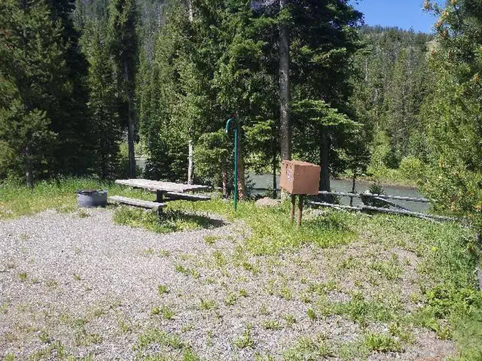
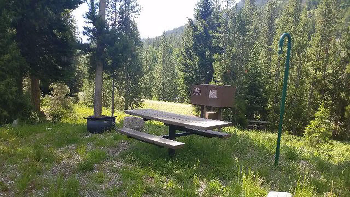
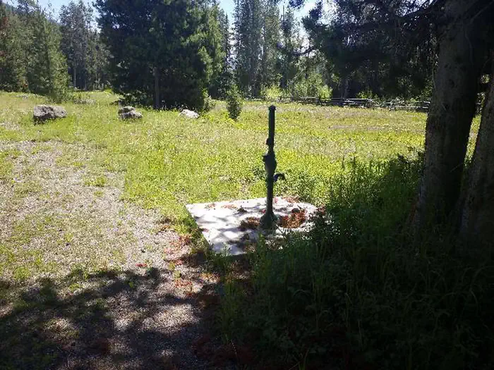
Overview Threemile Campground is located just three miles from the east entrance of Yellowstone National Park, and 50 miles from the full service gateway community of Cody, in northwestern Wyoming.
Sites218 reservable
Elev.6,657ft
Comf.Jun-Sep4 months
Max rig75 ft4 pull-thru
Electricnonesites
From Jackson3h40real road time
The honest read
Synthesized from RIDB · Open-Meteo OSM · OSRM Updated 2026-05-27
At 6,657 ft, Threemile Campground has a 4-month comfortable window (Jun-Sep). Winter nights average around 14°F, so the shoulder seasons turn cold fast. 21 sites total: 8 reservable and 13 first-come, first-served. Of the sites, 4 pull-through, and the longest takes a 75-ft rig. Within about 4 miles: 2 peaks, lake or river access.
The campground at a glance
01 · CHARACTER
Reads strongest on shade and cool nights. Softest on roomy sites.
Six axes, each scored relative to every other federal campground in the region: quiet (miles to a major road), cool (elevation), roomy (average site spacing), shade, RV-fit (longest rig), and how reservable it is. All six come from data, nothing hand-tuned.
When to go
02 · CLIMATE
avg highavg lowfrost-freedriest · Jul
Jun-Sep
Comfortable window: nights stay above 35°F, days below 90°F.
84%
Of summer weekend-days are dry.
Jun 13
Last spring frost; first fall frost Sep 18.
47°F
Average July low. Bring a fleece.
Getting there
03 · ACCESS
01
Jackson
128 mi
3h40
02
Casper
266 mi
5h23
03
Cheyenne
441 mi
8h11
By drive time
Routed road time (OSRM). Nearest major highway 0.1 mi away.
West Area · prime location · pull-through · shaded.
To neighbor
137 ft
Location
Prime
Max rig
65 ft
Type
Pull-thru
What's within four miles
05 · TRAILS · PEAKS · WATER
Trails & Peaks
Trail segments
21
Peaks
2
Water & Access
Lake / river access
yes
To nearest major road
0.1 mi
Method
We synthesize public data layers: RIDB and Recreation.gov facility and site records, Open-Meteo climate normals, OpenStreetMap roads, trails, and water, OSRM drive times, and USGS elevation. We take no bookings, no ads, and no paid placements. Independence is the entire point.