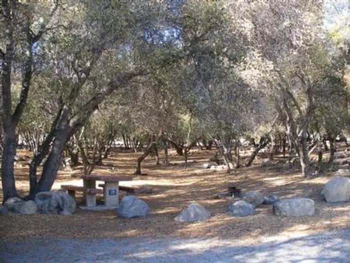
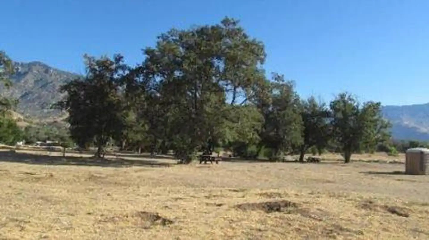
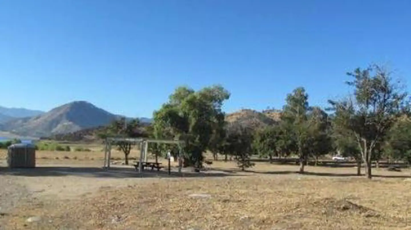
Overview Tillie Creek campground is nestled in oak trees on the shores of Lake Isabella, a popular destination for water activities, especially windsurfing and fishing.
Sites13781 reservable
Elev.2,667ft
Comf.Jan-Dec10 months
Max rig40 ft
Electricnonesites
From Fresno2h59real road time
The honest read
Synthesized from RIDB · Open-Meteo OSM · OSRM Updated 2026-05-27
At 2,667 ft, Tillie Creek has a 10-month comfortable window (Jan-Dec). Winter nights average around 40°F, so the shoulder seasons turn cold fast. 137 sites total: 81 reservable and 56 first-come, first-served. Within about 4 miles: 4 peaks, lake or river access.
What campers say
SYNTHESIZED · MODERATE SIGNAL
Weather
01 / 05
Summer heat hits triple digits with afternoon wind that drives sand.
Multiple campers report daytime highs in the 100s and a reliable afternoon wind off the lake that pushes grit through open sites. April to May and late September come up repeatedly as the windows when temperatures and crowds both ease off.
Water
02 / 05
Lake levels swing hard and the shoreline can sit a long walk from camp.
Recent visitors describe drawdowns that leave former swim spots dry and a hike of roughly a mile to reach water in low years. When the lake is up, swimming and wading work fine, and the north side is reported to have less algae than the south.
Sites
03 / 05
Sites near Highway 155 catch road noise; the back loop trades quiet for rougher roads.
Campers place sites 1 through 73 closest to the highway and note audible traffic, while the loop past site 75 is quieter but has been called poorly maintained with potholes and faded numbering. Shade is uneven, with the area around site 17 singled out as one of the shadier pockets.
Facilities
04 / 05
Vault toilets are the current standard and showers are not reliably available.
Reviewers from the last few seasons report the old shower house is closed or out of service and the dump station has been down on some visits. Most water spigots lack hose threads, and the one threaded tap sits near the dump station.
Wildlife & sky
05 / 05
Mosquitos can be heavy near the water and ants show up in the group loops.
Several campers describe mosquito pressure bad enough to make bathroom trips unpleasant, especially when the lake is high and grass is green. Group sites have also drawn complaints about fire ants and ground squirrel holes underfoot.
Synthesized from public trip reports and forum discussion, summarized in our words and never quoted. This is durable sentiment, not a live feed.
The campground at a glance
01 · CHARACTER
Reads strongest on reservability and cool nights. Softest on shade.
Six axes, each scored relative to every other federal campground in the region: quiet (miles to a major road), cool (elevation), roomy (average site spacing), shade, RV-fit (longest rig), and how reservable it is. All six come from data, nothing hand-tuned.
When to go
02 · CLIMATE
avg highavg lowfrost-freedriest · Jul
Jan-Dec
Comfortable window: nights stay above 35°F, days below 90°F.
99%
Of summer weekend-days are dry.
Mar 4
Last spring frost; first fall frost Nov 25.
71°F
Average July low. Bring a fleece.
Getting there
03 · ACCESS
01
Fresno
134 mi
2h59
02
Los Angeles
149 mi
3h19
03
San Diego
285 mi
6h20
04
Sacramento
338 mi
7h31
05
San Francisco
340 mi
7h33
By drive time
Routed road time (OSRM). Nearest major highway 0 mi away.
We synthesize public data layers: RIDB and Recreation.gov facility and site records, Open-Meteo climate normals, OpenStreetMap roads, trails, and water, OSRM drive times, and USGS elevation. We take no bookings, no ads, and no paid placements. Independence is the entire point.