Overview Tule Campground is located at Success Lake in the Sierra Nevada foothills just 8 miles east of Porterville, California.
Sites10492 reservable
Elev.673ft
Comf.Jan-Dec8 months
Max rig80 ft27 pull-thru
Electric2626×50-amp
From Fresno1h56real road time
The honest read
Synthesized from RIDB · Open-Meteo OSM · OSRM Updated 2026-05-27
At 673 ft, Tule has a 8-month comfortable window (Jan-Dec). Winter nights average around 39°F, so the shoulder seasons turn cold fast. 104 sites total: 92 reservable and 12 first-come, first-served. Of the sites, 27 pull-through, 26 with 50-amp, and the longest takes a 80-ft rig. Within about 4 miles: 1 named hiking route, 4 peaks, lake or river access.
What campers say
SYNTHESIZED · MODERATE SIGNAL
Vibe
01 / 05
Budget sunset stop between LA and Sequoia, not a destination in itself.
Campers repeatedly frame Tule as a cheap, convenient overnight on the way to Sequoia, with lake sunsets as the standout. Expectations should be reset from the marketing photos: this is dry foothill country, not forest.
Weather
02 / 05
Summer runs past 100F with almost no shade at most sites.
Multiple reviewers warn that mid-day arrivals in summer are brutal and that scattered trees do not cover the pads. Bringing a canopy or shade structure is the standard advice, and evenings cool off well.
Sites
03 / 05
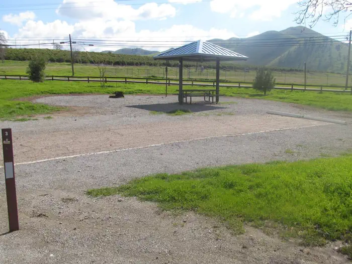
Spread-out gravel pads with lake views but goatheads and debris underfoot.
Sites are roomy and many face the water, which campers like. The downside is uneven gravel, cigarette butts and broken glass in spots, and goathead burrs that make barefoot walking and dog paws a real problem.
Water
04 / 05
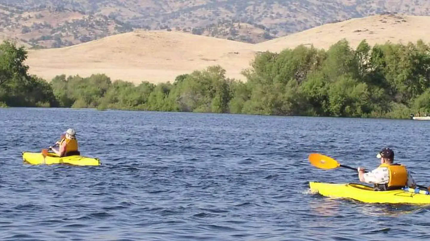
Lake level swings and woody debris make the shoreline rough for swimming.
Reservoir levels fluctuate with irrigation releases, and campers consistently report logs, branches and muddy banks along the swim areas. Kayaking the quieter coves works better than wading in from camp.
Facilities
05 / 05
Clean flush toilets and hot showers, but only about 31 of 104 sites have power.
The bathhouse and showers get steady praise as remodeled and well kept, and there is a dump station on site. Electric hookups are limited to roughly a third of sites, so most RVers should plan to run on battery or generator within quiet hours.
Synthesized from public trip reports and forum discussion, summarized in our words and never quoted. This is durable sentiment, not a live feed.
The campground at a glance
01 · CHARACTER
Reads strongest on shade and reservability. Softest on roomy sites.
Six axes, each scored relative to every other federal campground in the region: quiet (miles to a major road), cool (elevation), roomy (average site spacing), shade, RV-fit (longest rig), and how reservable it is. All six come from data, nothing hand-tuned.
When to go
02 · CLIMATE
avg highavg lowfrost-freedriest · Jul
Jan-Dec
Comfortable window: nights stay above 35°F, days below 90°F.
99%
Of summer weekend-days are dry.
Feb 23
Last spring frost; first fall frost Dec 7.
72°F
Average July low.
Getting there
03 · ACCESS
01
Fresno
87 mi
1h56
02
Los Angeles
188 mi
4h11
03
Sacramento
291 mi
6h28
04
San Francisco
295 mi
6h33
05
San Diego
329 mi
7h19
By drive time
Routed road time (OSRM). Nearest major highway 7.6 mi away.
We synthesize public data layers: RIDB and Recreation.gov facility and site records, Open-Meteo climate normals, OpenStreetMap roads, trails, and water, OSRM drive times, and USGS elevation. We take no bookings, no ads, and no paid placements. Independence is the entire point.