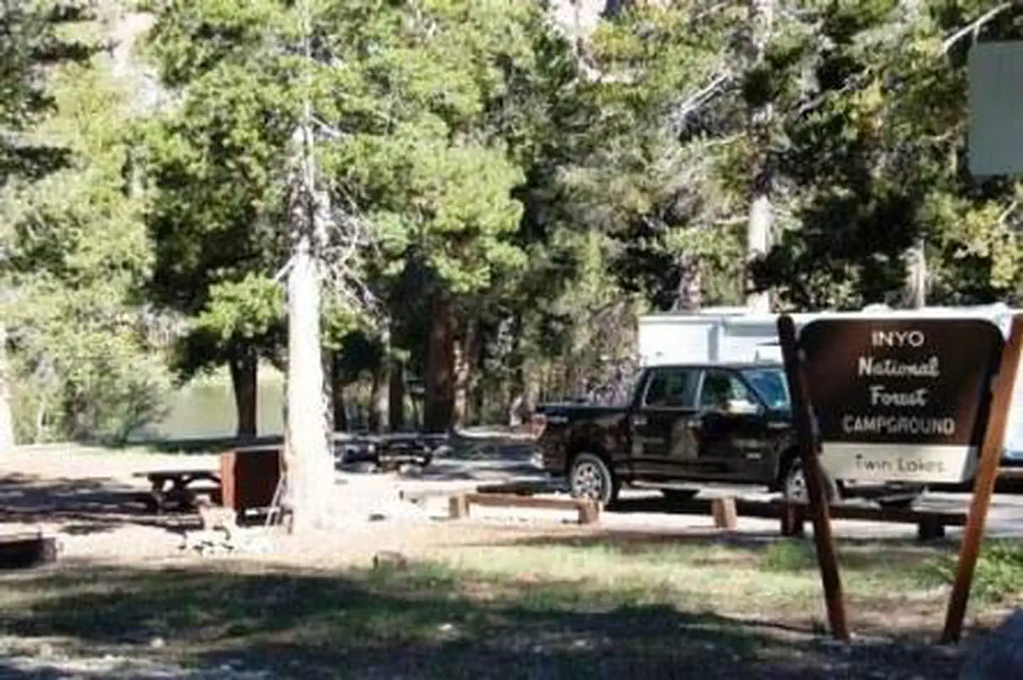
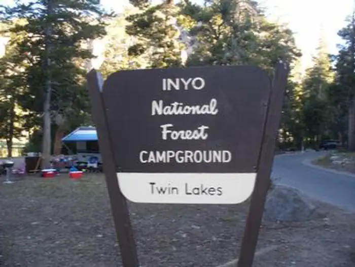
Overview Twin Lakes Campground is located in the eastern Sierra Nevada Mountains near the town of Mammoth Lakes, California.
Sites9493 reservable
Elev.8,625ft
Comf.Jun-Sep4 months
Max rig55 ft1 pull-thru
Electricnonesites
From Fresno2h09real road time
The honest read
Synthesized from RIDB · Open-Meteo OSM · OSRM Updated 2026-05-27
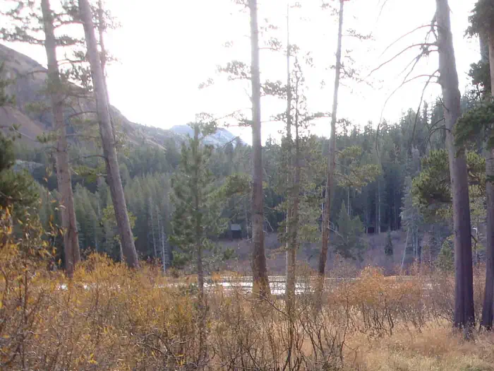
At 8,625 ft, Twin Lakes Campground has a 4-month comfortable window (Jun-Sep). Winter nights average around 18°F, so the shoulder seasons turn cold fast. 94 sites total: 93 reservable and 1 first-come, first-served. Of the sites, 1 pull-through, and the longest takes a 55-ft rig. Within about 4 miles: 15 named hiking routes, 6 peaks, lake or river access.
What campers say
SYNTHESIZED · MODERATE SIGNAL
Views
01 / 05
Twin Falls cascade between the two lakes is a short walk from any site.
Campers consistently call the waterfall between Upper and Lower Twin Lakes the main draw, visible and audible from much of the loop. Sunrise and sunset reflections off the lake get repeated mentions.
Wildlife & sky
02 / 05
Bears visit nightly; bear lockers at every site are not optional.
Multiple reviews describe repeat bear visits to picnic tables after dark, including some that ignore noise deterrents. Every site has a metal locker and rangers enforce storage of all food and scented items.
Sites
03 / 05
Old, tight layout; west side beats east, and several lakeside sites are marshy.
The campground predates big-RV norms, with narrow upper-loop roads and sites close together. Reviewers steer toward inner west-side sites for shade and privacy and warn that some lakeside spots near the inlet are buggy and wet.
Weather
04 / 05
Nights run cold even in July at 8,600 feet, with reports of freezing water.
Late-summer and early-fall campers describe temperatures dropping below 40 overnight, with water left on tables freezing by morning. Warm sleeping bags and layers come up across reviews regardless of month.
Booking
05 / 05
Reservations open six months out and fill almost immediately for summer.
Campers report needing to book exactly at the 6-month release for any weekend between June and September. Walk-up access is limited to a small first-come block, so spontaneous trips rarely work.
Synthesized from public trip reports and forum discussion, summarized in our words and never quoted. This is durable sentiment, not a live feed.
The campground at a glance
01 · CHARACTER
Reads strongest on reservability and shade. Softest on roomy sites.
Six axes, each scored relative to every other federal campground in the region: quiet (miles to a major road), cool (elevation), roomy (average site spacing), shade, RV-fit (longest rig), and how reservable it is. All six come from data, nothing hand-tuned.
When to go
02 · CLIMATE
avg highavg lowfrost-freedriest · Jul
Jun-Sep
Comfortable window: nights stay above 35°F, days below 90°F.
92%
Of summer weekend-days are dry.
Jun 21
Last spring frost; first fall frost Sep 24.
48°F
Average July low. Bring a fleece.
Getting there
03 · ACCESS
01
Fresno
97 mi
2h09
02
Sacramento
196 mi
4h21
03
San Francisco
243 mi
5h24
04
Los Angeles
325 mi
7h13
05
San Diego
461 mi
10h15
By drive time
Routed road time (OSRM). Nearest major highway 2.6 mi away.
We synthesize public data layers: RIDB and Recreation.gov facility and site records, Open-Meteo climate normals, OpenStreetMap roads, trails, and water, OSRM drive times, and USGS elevation. We take no bookings, no ads, and no paid placements. Independence is the entire point.