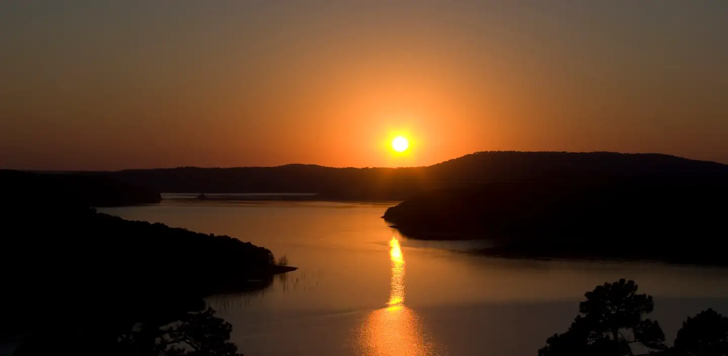
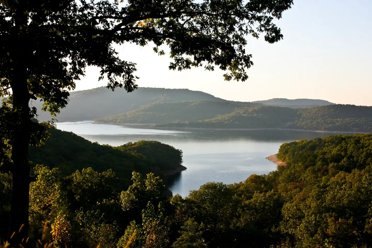
Overview War Eagle Campground sits along the vast shores of Beaver Lake in the Ozark Mountains of Northwest Arkansas, offering spacious and sunny campsites and an abundance of recreational activities.
Sites27all reservable
Elev.1,240ft
Comf.Mar-Dec10 months
Max rig30 ft
Electric26sites
From Fayetteville0h37real road time
The honest read
Synthesized from RIDB · Open-Meteo OSM · OSRM Updated 2026-05-27
At 1,240 ft, War Eagle Campground has a 10-month comfortable window (Mar-Dec). Winter nights average around 30°F, so the shoulder seasons turn cold fast. All 27 sites are reservable in advance, so plan ahead. Popular weekends book out. Within about 4 miles: lake or river access.
The campground at a glance
01 · CHARACTER
Reads strongest on reservability and shade. Softest on roomy sites.
Six axes, each scored relative to every other federal campground in the region: quiet (miles to a major road), cool (elevation), roomy (average site spacing), shade, RV-fit (longest rig), and how reservable it is. All six come from data, nothing hand-tuned.
When to go
02 · CLIMATE
avg highavg lowfrost-freedriest · Sep
Mar-Dec
Comfortable window: nights stay above 35°F, days below 90°F.
73%
Of summer weekend-days are dry.
Apr 8
Last spring frost; first fall frost Nov 6.
71°F
Average July low.
Getting there
03 · ACCESS
01
Fayetteville
20 mi
0h37
02
Little Rock
208 mi
3h49
By drive time
Routed road time (OSRM). Nearest major highway 3 mi away.
We synthesize public data layers: RIDB and Recreation.gov facility and site records, Open-Meteo climate normals, OpenStreetMap roads, trails, and water, OSRM drive times, and USGS elevation. We take no bookings, no ads, and no paid placements. Independence is the entire point.