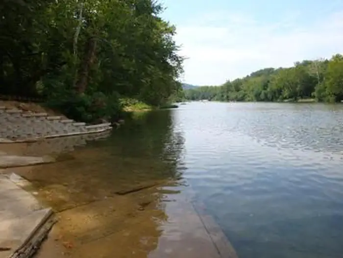
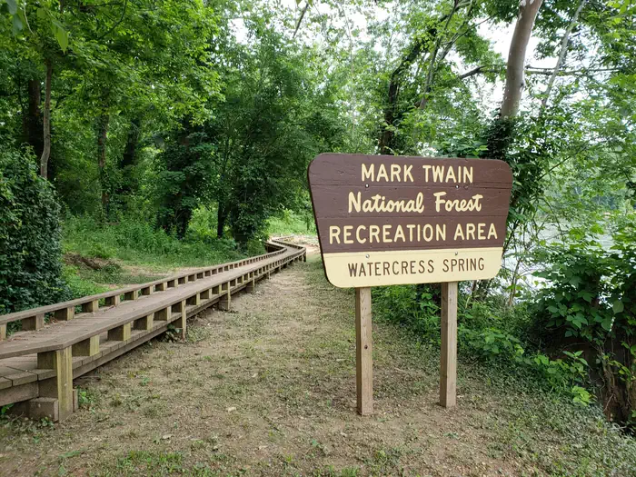
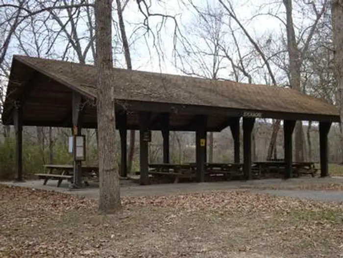
Overview ***Watercress sustained substantial damage to the pavilions during the 2017 flood, they are not reservable at this time, however the boat ramp is still open for public use.*** Watercress Camp
Sites191 reservable
Elev.492ft
Comf.Mar-Nov9 months
Max rig40 ft
Electric2sites
From Springfield3h02real road time
The honest read
Synthesized from RIDB · Open-Meteo OSM · OSRM Updated 2026-05-27
At 492 ft, Watercress has a 9-month comfortable window (Mar-Nov). Winter nights average around 29°F, so the shoulder seasons turn cold fast. 19 sites total: 1 reservable and 18 first-come, first-served. Within about 4 miles: 1 named hiking route, lake or river access.
The campground at a glance
01 · CHARACTER
Reads strongest on shade and cool nights. Softest on roomy sites.
Six axes, each scored relative to every other federal campground in the region: quiet (miles to a major road), cool (elevation), roomy (average site spacing), shade, RV-fit (longest rig), and how reservable it is. All six come from data, nothing hand-tuned.
When to go
02 · CLIMATE
avg highavg lowfrost-freedriest · Sep
Mar-Nov
Comfortable window: nights stay above 35°F, days below 90°F.
73%
Of summer weekend-days are dry.
Apr 8
Last spring frost; first fall frost Oct 30.
70°F
Average July low.
Getting there
03 · ACCESS
01
Springfield
147 mi
3h02
02
St. Louis
163 mi
3h26
03
Kansas City
314 mi
6h12
By drive time
Routed road time (OSRM). Nearest major highway 0.6 mi away.
We synthesize public data layers: RIDB and Recreation.gov facility and site records, Open-Meteo climate normals, OpenStreetMap roads, trails, and water, OSRM drive times, and USGS elevation. We take no bookings, no ads, and no paid placements. Independence is the entire point.