Bureau of Land ManagementWhite Mountains National Recreation Area · Alaska
White Mountains National Recreation Area - Alaska Cabins
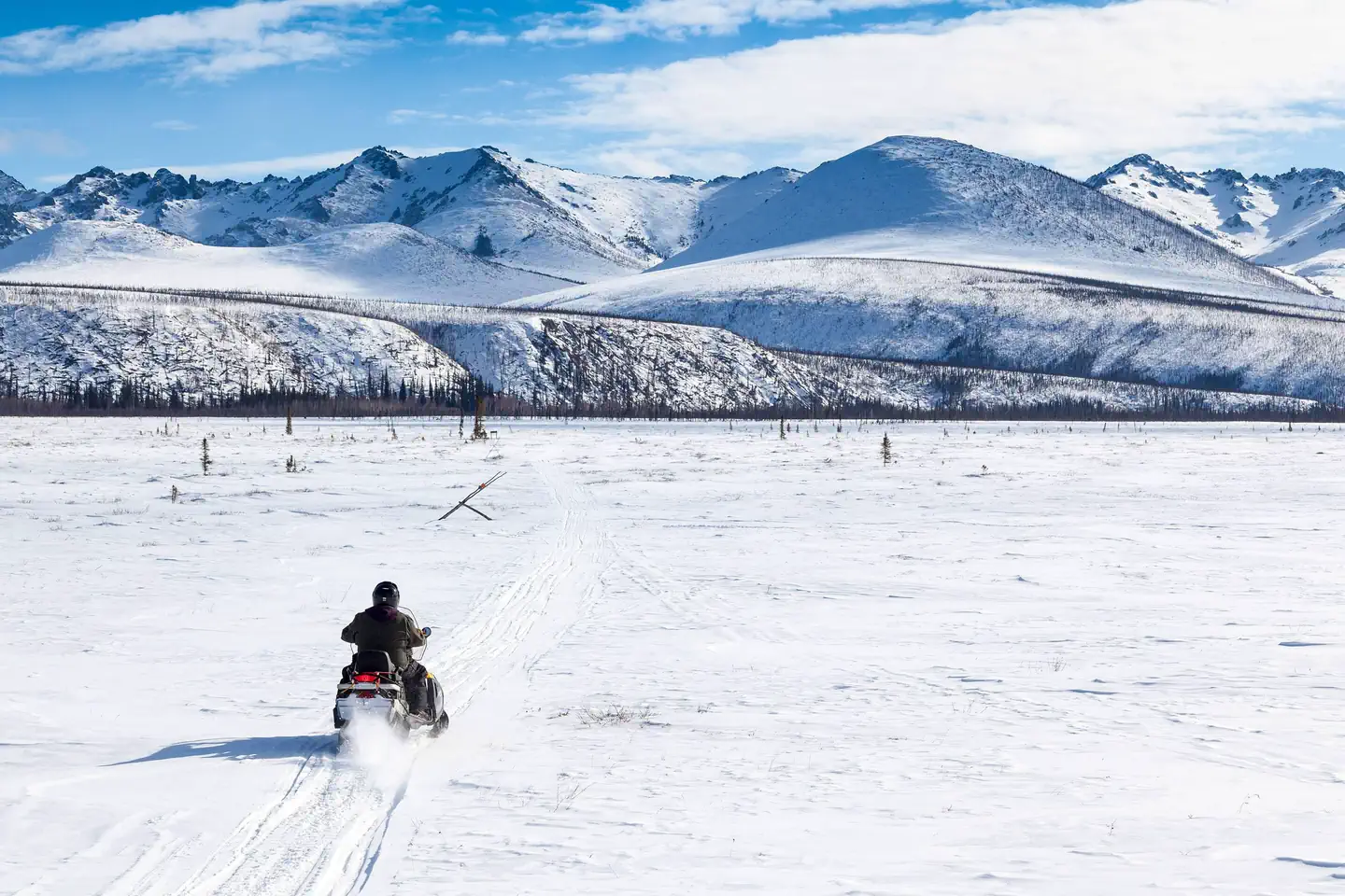
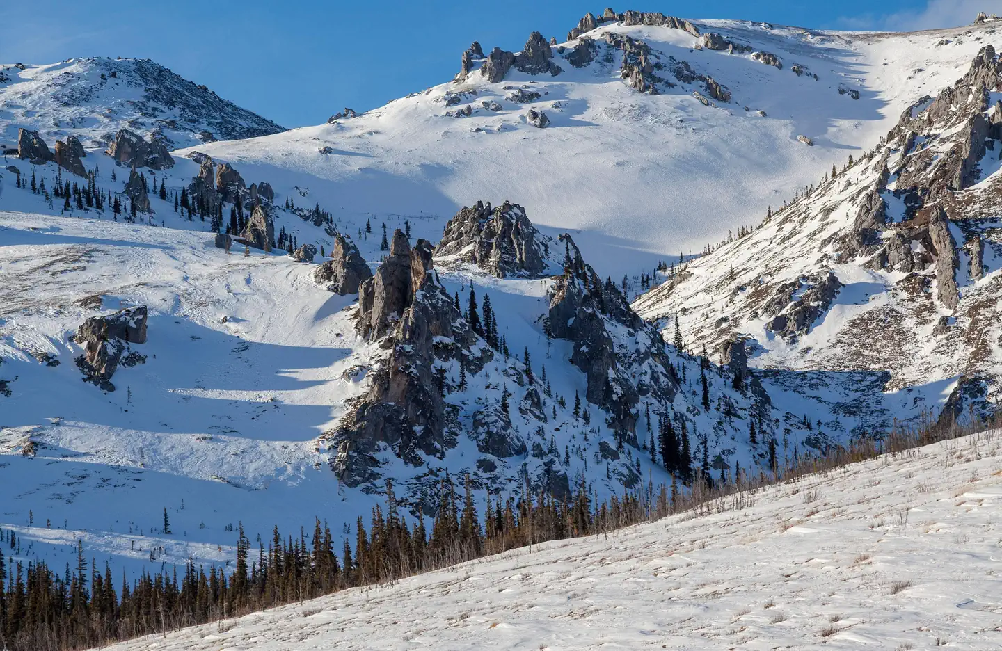
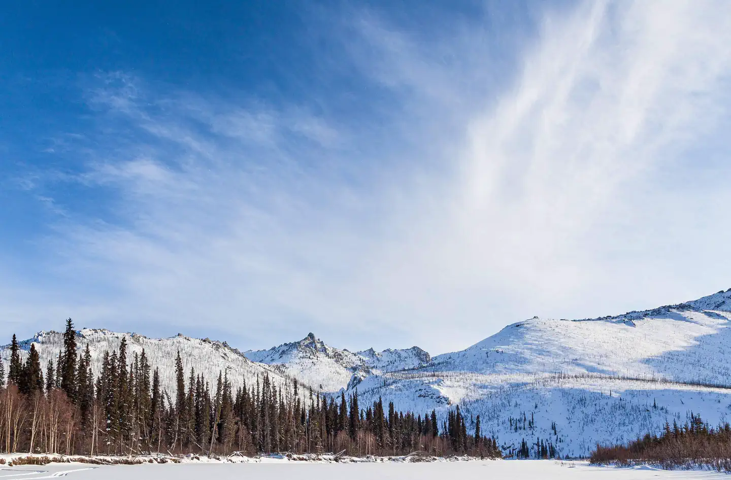
Overview Located just an hour's drive from Fairbanks, Alaska, the one-million-acre White Mountains National Recreation Area offers stunning scenery, peaceful solitude and outstanding opportunities for
Sites1513 reservable
Elev.1,745ft
Comf.May-Sep5 months
Max rigtents
Electricnonesites
From Fairbanks2h33real road time
The honest read
Synthesized from RIDB · Open-Meteo OSM · OSRM Updated 2026-05-27
At 1,745 ft, White Mountains National Recreation Area - Alaska Cabins has a 5-month comfortable window (May-Sep). Winter nights average around -2°F, so the shoulder seasons turn cold fast. 15 sites total: 13 reservable and 2 first-come, first-served.
The campground at a glance
01 · CHARACTER
Reads strongest on quiet and reservability. Softest on shade.
Six axes, each scored relative to every other federal campground in the region: quiet (miles to a major road), cool (elevation), roomy (average site spacing), shade, RV-fit (longest rig), and how reservable it is. All six come from data, nothing hand-tuned.
When to go
02 · CLIMATE
avg highavg lowfrost-freedriest · Jan
May-Sep
Comfortable window: nights stay above 35°F, days below 90°F.
70%
Of summer weekend-days are dry.
May 22
Last spring frost; first fall frost Sep 18.
53°F
Average July low.
Getting there
03 · ACCESS
01
Fairbanks
74 mi
2h33
02
Anchorage
433 mi
9h47
03
Juneau
809 mi
24h58
By drive time
Routed road time (OSRM). Nearest major highway 14.3 mi away.
We synthesize public data layers: RIDB and Recreation.gov facility and site records, Open-Meteo climate normals, OpenStreetMap roads, trails, and water, OSRM drive times, and USGS elevation. We take no bookings, no ads, and no paid placements. Independence is the entire point.